11000 Vineland Rd Ben Lomond, CA 95005
Estimated Value: $970,000 - $1,374,000
6
Beds
3
Baths
3,465
Sq Ft
$351/Sq Ft
Est. Value
About This Home
This home is located at 11000 Vineland Rd, Ben Lomond, CA 95005 and is currently estimated at $1,217,107, approximately $351 per square foot. 11000 Vineland Rd is a home located in Santa Cruz County with nearby schools including San Lorenzo Valley Elementary School, San Lorenzo Valley Middle School, and San Lorenzo Valley High School.
Ownership History
Date
Name
Owned For
Owner Type
Purchase Details
Closed on
Jan 25, 2021
Sold by
Schwarzbach Donna J
Bought by
Taubert Lindsay and Taubert Jared
Current Estimated Value
Home Financials for this Owner
Home Financials are based on the most recent Mortgage that was taken out on this home.
Original Mortgage
$335,000
Outstanding Balance
$299,465
Interest Rate
2.67%
Mortgage Type
Seller Take Back
Estimated Equity
$917,642
Create a Home Valuation Report for This Property
The Home Valuation Report is an in-depth analysis detailing your home's value as well as a comparison with similar homes in the area
Home Values in the Area
Average Home Value in this Area
Purchase History
| Date | Buyer | Sale Price | Title Company |
|---|---|---|---|
| Taubert Lindsay | $1,000,000 | First American Title Company |
Source: Public Records
Mortgage History
| Date | Status | Borrower | Loan Amount |
|---|---|---|---|
| Open | Taubert Lindsay | $335,000 |
Source: Public Records
Tax History Compared to Growth
Tax History
| Year | Tax Paid | Tax Assessment Tax Assessment Total Assessment is a certain percentage of the fair market value that is determined by local assessors to be the total taxable value of land and additions on the property. | Land | Improvement |
|---|---|---|---|---|
| 2025 | $15,054 | $1,244,797 | $660,284 | $584,513 |
| 2023 | $15,055 | $1,196,460 | $634,644 | $561,816 |
| 2022 | $14,696 | $1,173,000 | $622,200 | $550,800 |
| 2021 | $6,223 | $452,870 | $37,474 | $415,396 |
| 2020 | $6,103 | $448,227 | $37,090 | $411,137 |
| 2019 | $5,491 | $439,439 | $36,363 | $403,076 |
| 2018 | $5,383 | $430,822 | $35,650 | $395,172 |
| 2017 | $5,296 | $422,376 | $34,951 | $387,425 |
| 2016 | $5,230 | $414,094 | $34,266 | $379,828 |
| 2015 | $5,122 | $407,874 | $33,751 | $374,123 |
| 2014 | $5,036 | $399,884 | $33,090 | $366,794 |
Source: Public Records
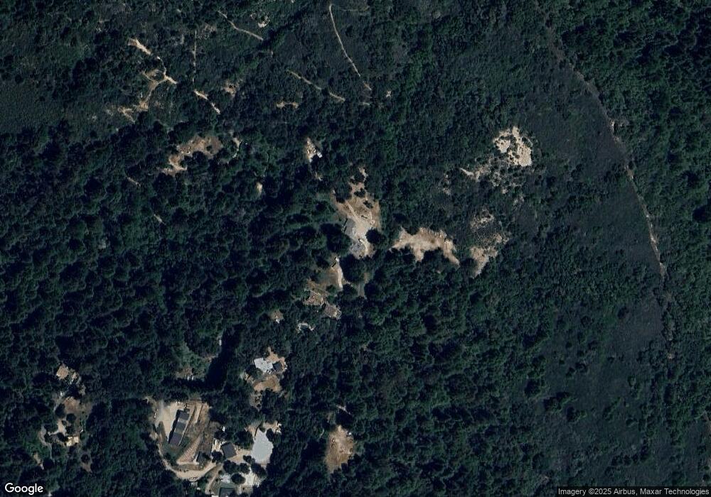
Map
Nearby Homes
- 1200 Roberts Rd
- Lot 01 Hubbard Gulch Rd
- 0 Hermit Ranch Rd Unit ML81960612
- 220 Hillary Heights
- 10510 Highway 9
- 265 Brown Gables Rd Unit 34
- 11033 Sequoia Ave
- 101 Annies Way
- 225 Santa Cruz St
- 11085 Riverside Rd
- 10001 West Dr
- 655 Marion Ave
- 10348 West Dr
- 641 Marion Ave
- 10229 Redwood Dr
- 800 Rebecca Dr
- Lot 12 Vera Ave
- 133 Western Ave
- 333 Western Ave
- 0 Marion Ave
- 10975 Vineland Rd
- 10845 Vineland Rd
- 310 Upper Rd
- 10765 Vineland Rd
- 10840 Vineland Rd Unit 10842
- 10840 Vineland Rd
- 10665 Vineland Rd
- 270 Stirling Way
- 10600 Vineland Rd
- 10595 Vineland Rd
- 10555 Vineland Rd
- 10545 Vineland Rd
- 10607 Love Creek Rd
- 10623 Love Creek Rd
- 00 Love Creek Rd
- 10605 Love Creek Rd
- 10480 Love Creek Rd
- 10545 Love Creek Rd
- 10450 Love Creek Rd
- 10475 Vineland Rd