11001 172nd St Scotch Grove, IA 52310
Estimated Value: $178,000 - $226,000
3
Beds
3
Baths
1,152
Sq Ft
$172/Sq Ft
Est. Value
About This Home
This home is located at 11001 172nd St, Scotch Grove, IA 52310 and is currently estimated at $198,241, approximately $172 per square foot. 11001 172nd St is a home located in Jones County with nearby schools including Shannon Elementary School, Carpenter Elementary School, and Monticello Middle School.
Ownership History
Date
Name
Owned For
Owner Type
Purchase Details
Closed on
Oct 19, 2012
Sold by
Thies Chad and Thies Stacy
Bought by
Thomsen Nicholas D and Thomsen Kimberly K
Current Estimated Value
Home Financials for this Owner
Home Financials are based on the most recent Mortgage that was taken out on this home.
Original Mortgage
$104,081
Outstanding Balance
$72,073
Interest Rate
3.51%
Mortgage Type
New Conventional
Estimated Equity
$126,168
Create a Home Valuation Report for This Property
The Home Valuation Report is an in-depth analysis detailing your home's value as well as a comparison with similar homes in the area
Home Values in the Area
Average Home Value in this Area
Purchase History
| Date | Buyer | Sale Price | Title Company |
|---|---|---|---|
| Thomsen Nicholas D | $102,000 | None Available |
Source: Public Records
Mortgage History
| Date | Status | Borrower | Loan Amount |
|---|---|---|---|
| Open | Thomsen Nicholas D | $104,081 |
Source: Public Records
Tax History Compared to Growth
Tax History
| Year | Tax Paid | Tax Assessment Tax Assessment Total Assessment is a certain percentage of the fair market value that is determined by local assessors to be the total taxable value of land and additions on the property. | Land | Improvement |
|---|---|---|---|---|
| 2025 | $2,026 | $164,800 | $35,000 | $129,800 |
| 2024 | $2,026 | $153,500 | $35,000 | $118,500 |
| 2023 | $1,882 | $153,500 | $35,000 | $118,500 |
| 2022 | $1,636 | $119,970 | $30,000 | $89,970 |
| 2021 | $1,636 | $119,970 | $30,000 | $89,970 |
| 2020 | $1,536 | $110,970 | $30,000 | $80,970 |
| 2019 | $1,502 | $104,890 | $0 | $0 |
| 2018 | $1,358 | $104,890 | $0 | $0 |
| 2017 | $1,358 | $104,890 | $0 | $0 |
| 2016 | $1,466 | $104,890 | $0 | $0 |
| 2015 | $1,466 | $103,890 | $0 | $0 |
| 2014 | $1,488 | $103,890 | $0 | $0 |
| 2013 | $1,452 | $103,890 | $13,500 | $90,390 |
Source: Public Records
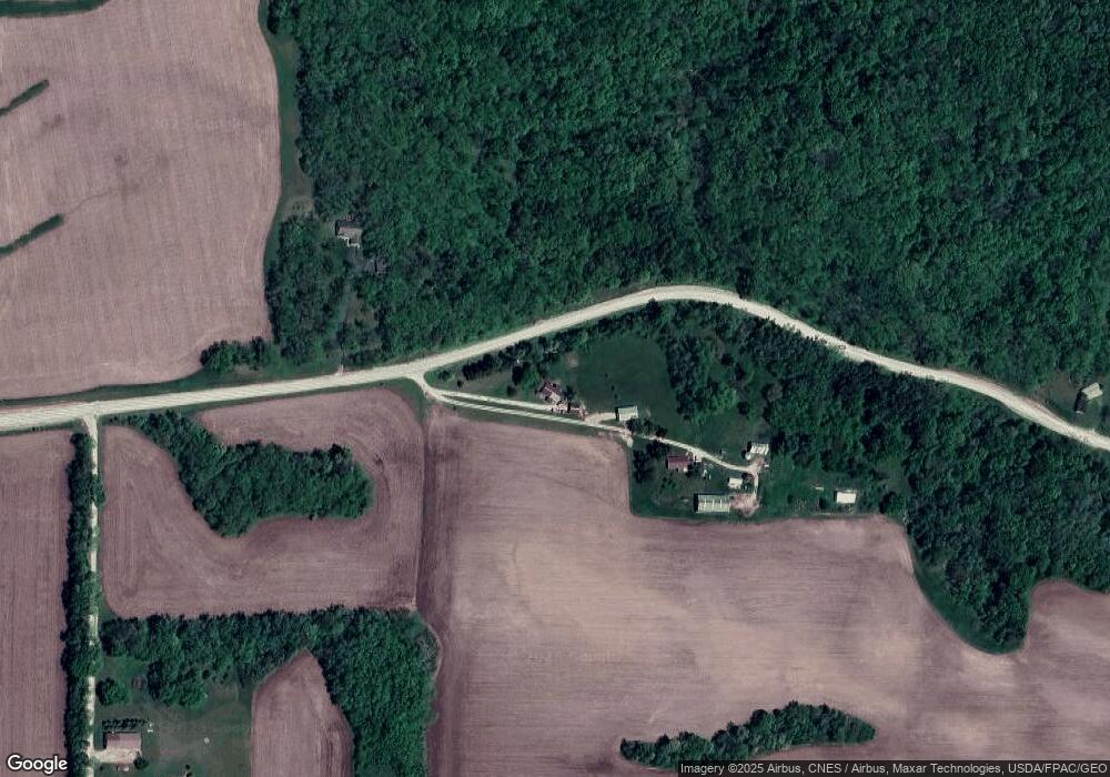
Map
Nearby Homes
- 8282 County Road E17
- 0 60th Ave Unit NOC6326785
- 823 Timberline Rd
- 817 Timberline Rd
- 913 S Main St
- 203 N Main St
- 121 N Walnut St
- 512 Park Dr
- 201 W 4th St
- 305 N Main St
- 708 W Washington St
- 611 N Cedar St
- 732 N Sycamore St
- 303 W 6th St
- 0 W 1st St
- 104 1st St
- 830 N Cedar St
- 130 E 11th St
- 458 W 7th St
- 645 N Birch St
- 11003 172nd St
- 11054 172nd St
- 11301 172nd St
- 11348 172nd St
- 11397 172nd St
- 10458 172nd St
- 11284 172nd St
- 11482 172nd St
- 10388 172nd St
- 11286 172nd St
- 17617 Dales Ford Rd
- 000 172nd St St
- 11636 172nd St
- 17441 Dales Ford Rd
- 17789 Dales Ford Rd
- 17609 Dales Ford Rd
- 16843 Ebys Mill Rd
- 16468 110th Ave
- 17977 Dales Ford Rd
- 10645 County Road E17