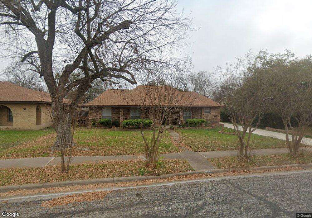
11008 Froke Cedar Trail Austin, TX 78750
Anderson Mill NeighborhoodEstimated Value: $396,482 - $524,000
--
Bed
2
Baths
1,745
Sq Ft
$269/Sq Ft
Est. Value
About This Home
This home is located at 11008 Froke Cedar Trail, Austin, TX 78750 and is currently estimated at $470,121, approximately $269 per square foot. 11008 Froke Cedar Trail is a home located in Williamson County with nearby schools including Anderson Mill Elementary School, Noel Grisham Middle, and Westwood High School.
Ownership History
Date
Name
Owned For
Owner Type
Purchase Details
Closed on
Jan 25, 2005
Sold by
Grandjean Peter L and Grandjean Ann F
Bought by
Chantharayukhonthorn Thanet and Chantharayukhonthorn Amporn Vipavayangkun
Current Estimated Value
Home Financials for this Owner
Home Financials are based on the most recent Mortgage that was taken out on this home.
Original Mortgage
$110,000
Interest Rate
5.71%
Mortgage Type
New Conventional
Create a Home Valuation Report for This Property
The Home Valuation Report is an in-depth analysis detailing your home's value as well as a comparison with similar homes in the area
Home Values in the Area
Average Home Value in this Area
Purchase History
| Date | Buyer | Sale Price | Title Company |
|---|---|---|---|
| Chantharayukhonthorn Thanet | -- | Chicago Title Insurance Comp |
Source: Public Records
Mortgage History
| Date | Status | Borrower | Loan Amount |
|---|---|---|---|
| Closed | Chantharayukhonthorn Thanet | $110,000 |
Source: Public Records
Tax History Compared to Growth
Tax History
| Year | Tax Paid | Tax Assessment Tax Assessment Total Assessment is a certain percentage of the fair market value that is determined by local assessors to be the total taxable value of land and additions on the property. | Land | Improvement |
|---|---|---|---|---|
| 2025 | $3,052 | $389,902 | $88,500 | $301,402 |
| 2024 | $3,052 | $376,234 | $88,500 | $287,734 |
| 2023 | $3,295 | $398,097 | $92,000 | $306,097 |
| 2022 | $7,845 | $365,387 | $0 | $0 |
| 2021 | $8,160 | $332,170 | $72,000 | $290,334 |
| 2020 | $7,185 | $301,973 | $66,598 | $235,375 |
| 2019 | $7,352 | $300,561 | $60,700 | $239,861 |
| 2018 | $4,794 | $278,793 | $54,891 | $223,902 |
| 2017 | $6,427 | $257,478 | $51,300 | $229,974 |
| 2016 | $5,842 | $234,071 | $51,300 | $184,015 |
| 2015 | $4,674 | $212,792 | $42,100 | $172,882 |
| 2014 | $4,674 | $193,447 | $0 | $0 |
Source: Public Records
Map
Nearby Homes
- 11010 Froke Cedar Trail
- 12206 Saber Trail
- 12306 Split Rail Pkwy
- 10812 Gates Ln Unit 441
- 12300 Wipple Tree Cove
- 12106 Grey Fawn Path
- 1028 Verbena Dr
- 12601 Jen Ln
- 12319 Double Tree Ln
- 12314 Double Tree Ln
- 12306 Double Tree Ln
- 12208 Double Tree Ln
- 11506 Powder Mill Trail
- 10902 Hard Rock Rd
- 11908 Stout Oak Trail
- 11512 Powder Mill Trail
- 10408 Firethorn Ln
- 11405 Bristle Oak Trail
- 11811 Buggy Whip Trail
- 1502 Glen Burnie Dr
- 11006 Froke Cedar Trail
- 12530 Split Rail Pkwy
- 12528 Split Rail Pkwy
- 12532 Split Rail Pkwy
- 11100 Froke Cedar Trail
- 11011 Froke Cedar Trail
- 11004 Froke Cedar Trail
- 11009 Froke Cedar Trail
- 12526 Split Rail Pkwy
- 11101 Froke Cedar Trail
- 12534 Split Rail Pkwy
- 11102 Froke Cedar Trail
- 11007 Froke Cedar Trail
- 11103 Froke Cedar Trail
- 12524 Split Rail Pkwy
- 11002 Froke Cedar Trail
- 12536 Split Rail Pkwy
- 11005 Froke Cedar Trail
- 12531 Split Rail Pkwy
- 11002 Hillside Oak Ln