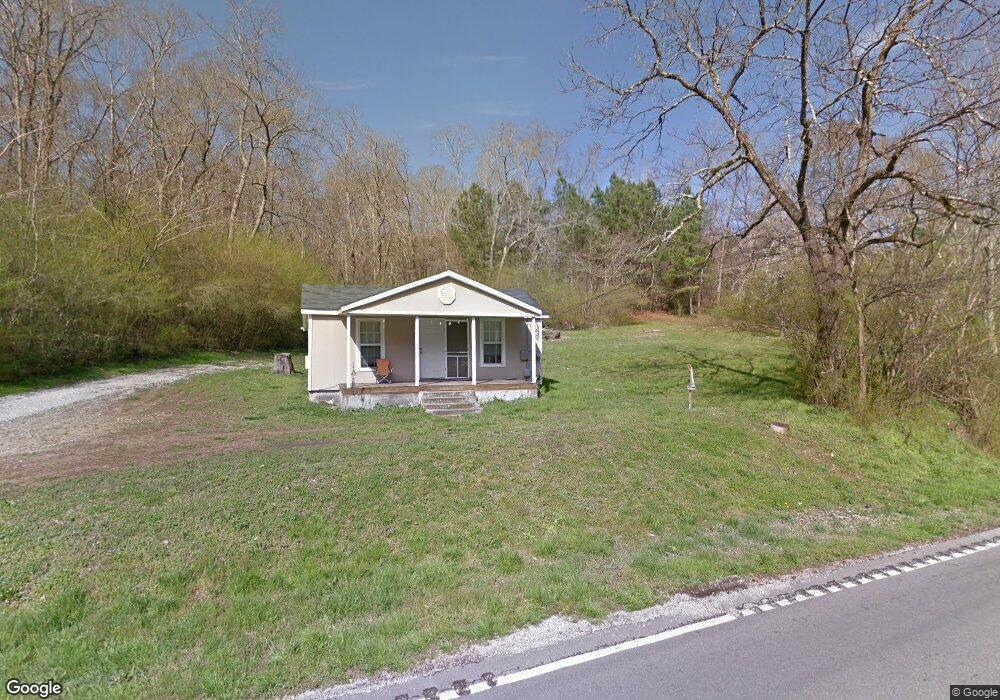
11009 Hixson Pike Soddy Daisy, TN 37379
Estimated Value: $121,122 - $171,000
2
Beds
1
Bath
767
Sq Ft
$194/Sq Ft
Est. Value
About This Home
This home is located at 11009 Hixson Pike, Soddy Daisy, TN 37379 and is currently estimated at $148,781, approximately $193 per square foot. 11009 Hixson Pike is a home located in Hamilton County.
Ownership History
Date
Name
Owned For
Owner Type
Purchase Details
Closed on
Mar 20, 2009
Sold by
Walker Stephen
Bought by
Kerns Ralph
Current Estimated Value
Purchase Details
Closed on
Oct 25, 2001
Sold by
Davis Jackson D and Davis Mary C
Bought by
Walker Stephen
Home Financials for this Owner
Home Financials are based on the most recent Mortgage that was taken out on this home.
Original Mortgage
$27,900
Interest Rate
6.85%
Mortgage Type
Purchase Money Mortgage
Purchase Details
Closed on
Jun 13, 1997
Sold by
Miller Scott A
Bought by
Davis Jackson D and Davis Mary C
Create a Home Valuation Report for This Property
The Home Valuation Report is an in-depth analysis detailing your home's value as well as a comparison with similar homes in the area
Home Values in the Area
Average Home Value in this Area
Purchase History
| Date | Buyer | Sale Price | Title Company |
|---|---|---|---|
| Kerns Ralph | $13,000 | None Available | |
| Walker Stephen | $37,900 | -- | |
| Davis Jackson D | -- | -- |
Source: Public Records
Mortgage History
| Date | Status | Borrower | Loan Amount |
|---|---|---|---|
| Previous Owner | Walker Stephen | $27,900 | |
| Closed | Walker Stephen | $10,000 |
Source: Public Records
Tax History Compared to Growth
Tax History
| Year | Tax Paid | Tax Assessment Tax Assessment Total Assessment is a certain percentage of the fair market value that is determined by local assessors to be the total taxable value of land and additions on the property. | Land | Improvement |
|---|---|---|---|---|
| 2024 | $345 | $15,400 | $0 | $0 |
| 2023 | $354 | $15,400 | $0 | $0 |
| 2022 | $354 | $15,400 | $0 | $0 |
| 2021 | $354 | $15,400 | $0 | $0 |
| 2020 | $374 | $13,200 | $0 | $0 |
| 2019 | $374 | $13,200 | $0 | $0 |
| 2018 | $374 | $13,200 | $0 | $0 |
| 2017 | $374 | $13,200 | $0 | $0 |
| 2016 | $342 | $0 | $0 | $0 |
| 2015 | $342 | $12,025 | $0 | $0 |
| 2014 | $342 | $0 | $0 | $0 |
Source: Public Records
Map
Nearby Homes
- 11036 High River Dr
- 11015 High River Dr
- 10947 High River Dr
- 2137 Autumn River Dr
- 2110 Autumn River Dr
- 11734 Armstrong Rd
- 2338 Stonesage Rd
- 1055 Apollo Dr
- 1052 Trojan Run Dr
- 1008 Trojan Run Dr
- 11570 Armstrong Rd
- 10496 Sovereign Pointe Dr
- 10627 Jeneva Ln
- 1708 Restful Dr
- 5671 Willow Point Ln
- 10428 Jeneva Ln
- 1524 Green Pond Rd
- 1383 Osage Dr
- 10224 Tommys Ln
- 0 Dogwood Dr Unit 1507843
- 11008 Hixson Pike
- 11020 Hixson Pike
- 10980 Hixson Pike
- 11021 Hixson Pike
- 10971 Hixson Pike
- 1930 Clift Eldridge Rd
- 10969 Hixson Pike
- 2006 Clift Eldridge Rd
- 11048 High River Dr
- 11048 High River Dr Unit 66
- 11044 High River Dr
- 1924 Clift Eldridge Rd
- 1924 Clift Eldridge Rd Unit 242
- 10963 Hixson Pike
- 11056 High River Dr
- 11056 High River Dr Unit 67
- 11036 High River Dr Unit 60
- 11030 High River Dr Unit 63
- 11030 High River Dr
- 11047 High River Dr