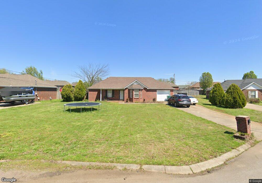
11009 Packard Ct Smyrna, TN 37167
Estimated Value: $285,000 - $338,000
Studio
2
Baths
1,143
Sq Ft
$276/Sq Ft
Est. Value
About This Home
This home is located at 11009 Packard Ct, Smyrna, TN 37167 and is currently estimated at $315,948, approximately $276 per square foot. 11009 Packard Ct is a home located in Rutherford County with nearby schools including Smyrna Primary School, Smyrna Middle School, and Smyrna High School.
Ownership History
Date
Name
Owned For
Owner Type
Purchase Details
Closed on
Sep 20, 2011
Sold by
White Marcus Phillip Et
Bought by
Sans Bryan C
Current Estimated Value
Home Financials for this Owner
Home Financials are based on the most recent Mortgage that was taken out on this home.
Original Mortgage
$109,160
Outstanding Balance
$74,895
Interest Rate
4.3%
Mortgage Type
FHA
Estimated Equity
$241,053
Create a Home Valuation Report for This Property
The Home Valuation Report is an in-depth analysis detailing your home's value as well as a comparison with similar homes in the area
Home Values in the Area
Average Home Value in this Area
Purchase History
| Date | Buyer | Sale Price | Title Company |
|---|---|---|---|
| Sans Bryan C | $112,000 | -- |
Source: Public Records
Mortgage History
| Date | Status | Borrower | Loan Amount |
|---|---|---|---|
| Open | Sans Bryan C | $109,160 |
Source: Public Records
Tax History
| Year | Tax Paid | Tax Assessment Tax Assessment Total Assessment is a certain percentage of the fair market value that is determined by local assessors to be the total taxable value of land and additions on the property. | Land | Improvement |
|---|---|---|---|---|
| 2025 | $1,511 | $62,875 | $13,750 | $49,125 |
| 2024 | $1,511 | $62,875 | $13,750 | $49,125 |
| 2023 | $1,511 | $62,875 | $13,750 | $49,125 |
| 2022 | $1,347 | $62,875 | $13,750 | $49,125 |
| 2021 | $1,254 | $42,950 | $8,750 | $34,200 |
| 2020 | $1,254 | $42,950 | $8,750 | $34,200 |
| 2019 | $1,254 | $42,950 | $8,750 | $34,200 |
| 2018 | $1,203 | $42,950 | $0 | $0 |
| 2017 | $1,041 | $29,200 | $0 | $0 |
| 2016 | $1,041 | $29,200 | $0 | $0 |
| 2015 | $1,041 | $29,200 | $0 | $0 |
| 2014 | $726 | $29,200 | $0 | $0 |
| 2013 | -- | $29,100 | $0 | $0 |
Source: Public Records
Map
Nearby Homes
- 9001 Lomond Dr
- 10000 Syracuse Dr
- 3031 Mesquite Dr
- 8210 Minehead Dr
- 7005 Clara Ct
- 7018 Mudshark Place
- 5572 Rooker Rd
- 445 Burton Farms Dr
- 433 Burton Farms Dr
- 425 Burton Farms Dr
- 5496 Rooker Rd
- 5482 Rooker Rd
- 1175 Rimrock Rd
- 1176 Rimrock Rd
- 7619 Rookers Bend Dr
- 1172 Rimrock Rd
- 6810 Longview Dr
- 1170 Rimrock Rd
- 7670 Knobdate
- 7672 Knobdate Rd
- 11011 Packard Ct
- 11007 Packard Ct
- 11011 Packard Ct
- 8005 Westfork Dr
- 8007 Westfork Dr
- 11005 Packard Ct
- 11008 Packard Ct
- 8003 Westfork Dr
- 11013 Packard Ct
- 8009 Westfork Dr
- 11010 Packard Ct
- 11006 Packard Ct
- 9031 Nevada Ave
- 11003 Packard Ct
- 8011 Westfork Dr
- 8001 Westfork Dr
- 11004 Packard Ct
- 11012 Packard Ct
- 9029 Nevada Ave
- 228 Mill Creek Ct
Your Personal Tour Guide
Ask me questions while you tour the home.