11009 SW 7th Cir Yukon, OK 73099
Mustang Creek NeighborhoodEstimated Value: $211,000 - $249,000
3
Beds
2
Baths
1,674
Sq Ft
$139/Sq Ft
Est. Value
About This Home
This home is located at 11009 SW 7th Cir, Yukon, OK 73099 and is currently estimated at $233,301, approximately $139 per square foot. 11009 SW 7th Cir is a home located in Canadian County with nearby schools including Mustang Creek Elementary School, Canyon Ridge Intermediate School, and Mustang North Middle School.
Ownership History
Date
Name
Owned For
Owner Type
Purchase Details
Closed on
Aug 20, 2024
Sold by
Watts Helen S
Bought by
Mark Jeffrey Sandusky Revocable Living Trust and Sandusky
Current Estimated Value
Purchase Details
Closed on
Apr 7, 2003
Sold by
Fleenor Enterprises Inc
Bought by
Watts Donald P and Helen Sue^
Home Financials for this Owner
Home Financials are based on the most recent Mortgage that was taken out on this home.
Original Mortgage
$95,000
Interest Rate
5.71%
Purchase Details
Closed on
Dec 6, 2002
Sold by
Rockwell Llc
Home Financials for this Owner
Home Financials are based on the most recent Mortgage that was taken out on this home.
Original Mortgage
$90,000
Interest Rate
6.28%
Create a Home Valuation Report for This Property
The Home Valuation Report is an in-depth analysis detailing your home's value as well as a comparison with similar homes in the area
Home Values in the Area
Average Home Value in this Area
Purchase History
| Date | Buyer | Sale Price | Title Company |
|---|---|---|---|
| Mark Jeffrey Sandusky Revocable Living Trust | $180,000 | Element Title | |
| Mark Jeffrey Sandusky Revocable Living Trust | $180,000 | Element Title | |
| Watts Donald P | $121,000 | -- | |
| -- | $18,000 | -- |
Source: Public Records
Mortgage History
| Date | Status | Borrower | Loan Amount |
|---|---|---|---|
| Previous Owner | Watts Donald P | $95,000 | |
| Previous Owner | -- | $90,000 |
Source: Public Records
Tax History Compared to Growth
Tax History
| Year | Tax Paid | Tax Assessment Tax Assessment Total Assessment is a certain percentage of the fair market value that is determined by local assessors to be the total taxable value of land and additions on the property. | Land | Improvement |
|---|---|---|---|---|
| 2024 | $2,108 | $20,205 | $2,100 | $18,105 |
| 2023 | $2,108 | $19,617 | $2,100 | $17,517 |
| 2022 | $2,074 | $19,045 | $2,100 | $16,945 |
| 2021 | $2,003 | $18,491 | $2,100 | $16,391 |
| 2020 | $1,961 | $17,952 | $2,100 | $15,852 |
| 2019 | $1,980 | $18,136 | $2,100 | $16,036 |
| 2018 | $1,955 | $17,608 | $2,100 | $15,508 |
| 2017 | $1,952 | $17,803 | $2,100 | $15,703 |
| 2016 | $1,949 | $18,354 | $2,100 | $16,254 |
| 2015 | $1,845 | $17,301 | $2,100 | $15,201 |
| 2014 | $1,845 | $16,797 | $2,100 | $14,697 |
Source: Public Records
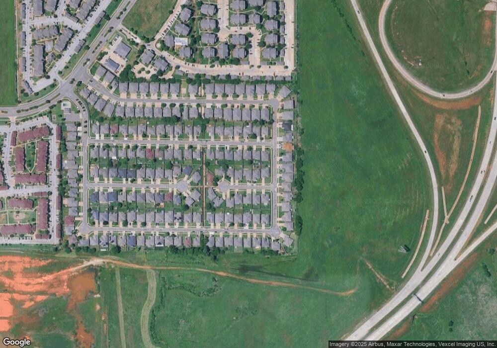
Map
Nearby Homes
- 708 Garrison Ln
- 11100 SW 8th St
- 10509 Aberdeen Dr
- 724 Westridge Ct
- 11516 SW 8th Cir
- 612 S Willowood Dr
- 11604 SW 9th St
- 11605 SW 12th St
- 11632 SW 9th St
- 705 Westview Dr
- 10428 Fairfax Ln
- 11601 SW 14th St
- 1500 Stirrup Way
- 11617 SW 14th St
- 10340 Exter Ave
- 11600 SW 15th Terrace
- 12613 NW 4th St
- 12616 NW 4th St
- 12608 NW 4th St
- 1213 Greenfield Ave
- 11005 SW 7th Cir
- 11013 SW 7th Cir
- 11001 SW 7th Cir
- 11017 SW 7th Cir
- 11008 SW 6th St
- 11004 SW 6th St
- 11012 SW 6th St
- 11000 SW 6th St
- 11008 SW 7th Cir
- 11004 SW 7th Cir
- 11012 SW 7th Cir
- 11021 SW 7th Cir
- 11000 SW 7th Cir
- 11020 SW 6th St
- 712 Garrison Ln
- 11025 SW 7th Cir
- 716 Garrison Ln
- 704 Garrison Ln
- 11009 SW 6th St