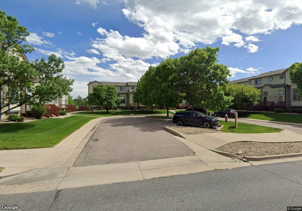
1101 21st Ave Unit 15 Longmont, CO 80501
Garden Acres NeighborhoodEstimated Value: $297,000 - $370,000
2
Beds
2
Baths
987
Sq Ft
$342/Sq Ft
Est. Value
About This Home
This home is located at 1101 21st Ave Unit 15, Longmont, CO 80501 and is currently estimated at $337,990, approximately $342 per square foot. 1101 21st Ave Unit 15 is a home located in Boulder County with nearby schools including Northridge Elementary School, Longs Peak Middle School, and Longmont High School.
Ownership History
Date
Name
Owned For
Owner Type
Purchase Details
Closed on
Jun 19, 2012
Sold by
Simmons Diana L and Simmons Samuel E
Bought by
J & A Properties Enterprise I Llc
Current Estimated Value
Purchase Details
Closed on
Sep 12, 2001
Sold by
Lewis Jean Adams
Bought by
Simmons Samuel E and Simmons Diana L
Home Financials for this Owner
Home Financials are based on the most recent Mortgage that was taken out on this home.
Original Mortgage
$162,000
Interest Rate
6.96%
Mortgage Type
VA
Purchase Details
Closed on
Apr 30, 1999
Sold by
Devenport Paul E
Bought by
Lewis Jean Adams
Home Financials for this Owner
Home Financials are based on the most recent Mortgage that was taken out on this home.
Original Mortgage
$95,200
Interest Rate
7.07%
Purchase Details
Closed on
Sep 27, 1996
Sold by
Boulder Valley Enterprises Llc
Bought by
Devenport Paul E
Home Financials for this Owner
Home Financials are based on the most recent Mortgage that was taken out on this home.
Original Mortgage
$97,873
Interest Rate
7.96%
Create a Home Valuation Report for This Property
The Home Valuation Report is an in-depth analysis detailing your home's value as well as a comparison with similar homes in the area
Home Values in the Area
Average Home Value in this Area
Purchase History
| Date | Buyer | Sale Price | Title Company |
|---|---|---|---|
| J & A Properties Enterprise I Llc | -- | None Available | |
| Simmons Samuel E | $162,000 | Land Title | |
| Lewis Jean Adams | $119,000 | First American Heritage Titl | |
| Devenport Paul E | $100,900 | First American Heritage Titl |
Source: Public Records
Mortgage History
| Date | Status | Borrower | Loan Amount |
|---|---|---|---|
| Previous Owner | Simmons Samuel E | $162,000 | |
| Previous Owner | Lewis Jean Adams | $95,200 | |
| Previous Owner | Devenport Paul E | $97,873 |
Source: Public Records
Tax History Compared to Growth
Tax History
| Year | Tax Paid | Tax Assessment Tax Assessment Total Assessment is a certain percentage of the fair market value that is determined by local assessors to be the total taxable value of land and additions on the property. | Land | Improvement |
|---|---|---|---|---|
| 2025 | $1,795 | $21,181 | -- | $21,181 |
| 2024 | $1,795 | $21,181 | -- | $21,181 |
| 2023 | $1,771 | $18,769 | -- | $22,454 |
| 2022 | $1,818 | $18,369 | $0 | $18,369 |
| 2021 | $1,841 | $18,897 | $0 | $18,897 |
| 2020 | $1,631 | $16,788 | $0 | $16,788 |
| 2019 | $1,605 | $16,788 | $0 | $16,788 |
| 2018 | $1,351 | $14,227 | $0 | $14,227 |
| 2017 | $1,333 | $15,729 | $0 | $15,729 |
| 2016 | $1,200 | $12,553 | $0 | $12,553 |
| 2015 | $1,143 | $9,886 | $0 | $9,886 |
| 2014 | $920 | $9,886 | $0 | $9,886 |
Source: Public Records
Map
Nearby Homes
- 1005 Harmon Place
- 1852 Gay St
- 1838 Gay St
- 2018 Lincoln St
- 1513 Calkins Ave
- 1933 Emery St
- 1554 Ervine Ave
- 2339 Bowen St
- 2213 Emery St Unit C
- 951 17th Ave Unit 95
- 1408 17th Ave
- 1140 Parker Dr
- 22 Emery Way
- 831 17th Ave Unit 14
- 729 17th Ave Unit 16
- 729 17th Ave Unit 46
- 0 Francis St
- 2144 Collyer St
- 2244 Vivian St
- 1211 16th Ave
- 1101 21st Ave Unit 11
- 1101 21st Ave Unit 10
- 1101 21st Ave Unit 9
- 1101 21st Ave Unit 8
- 1101 21st Ave Unit 7
- 1101 21st Ave Unit 6
- 1101 21st Ave Unit 5
- 1101 21st Ave Unit 4
- 1101 21st Ave Unit 3
- 1101 21st Ave Unit 2
- 1101 21st Ave Unit 1
- 1101 21st Ave Unit 16
- 1101 21st Ave Unit 14
- 1101 21st Ave Unit 13
- 1101 21st Ave Unit 12
- 1101 21st Ave
- 1021 21st Ave
- 1018 Bragg Place
- 1023 Bragg Place
- 1015 21st Ave