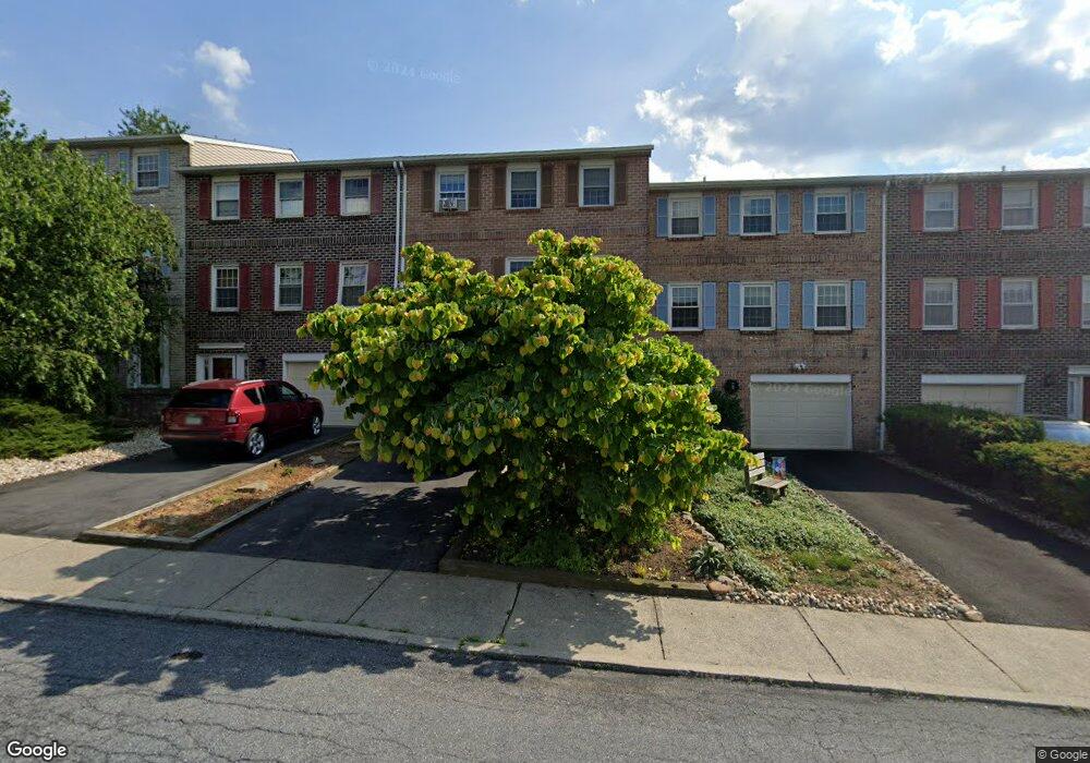
1101 Barnside Rd Allentown, PA 18103
Estimated Value: $327,781 - $358,000
3
Beds
3
Baths
1,932
Sq Ft
$178/Sq Ft
Est. Value
About This Home
This home is located at 1101 Barnside Rd, Allentown, PA 18103 and is currently estimated at $343,195, approximately $177 per square foot. 1101 Barnside Rd is a home located in Lehigh County with nearby schools including Wescosville Elementary School, Lower Macungie Middle School, and Emmaus High School.
Ownership History
Date
Name
Owned For
Owner Type
Purchase Details
Closed on
Jul 30, 2009
Sold by
Salter Albert
Bought by
Salter Raymond E
Current Estimated Value
Home Financials for this Owner
Home Financials are based on the most recent Mortgage that was taken out on this home.
Original Mortgage
$157,700
Outstanding Balance
$103,969
Interest Rate
5.43%
Mortgage Type
New Conventional
Estimated Equity
$239,226
Purchase Details
Closed on
Oct 30, 1992
Sold by
Val-You Builders Inc
Bought by
Barker Rosemarie H
Purchase Details
Closed on
Aug 28, 1992
Sold by
Dunkerley Robert E and Dunkerley Karen J
Bought by
Val-You Builders Inc
Purchase Details
Closed on
Sep 9, 1986
Bought by
Dunkerley Robert E and Dunkerley Karen J
Create a Home Valuation Report for This Property
The Home Valuation Report is an in-depth analysis detailing your home's value as well as a comparison with similar homes in the area
Home Values in the Area
Average Home Value in this Area
Purchase History
| Date | Buyer | Sale Price | Title Company |
|---|---|---|---|
| Salter Raymond E | $166,000 | -- | |
| Barker Rosemarie H | $110,000 | -- | |
| Val-You Builders Inc | -- | -- | |
| Dunkerley Robert E | $150,000 | -- |
Source: Public Records
Mortgage History
| Date | Status | Borrower | Loan Amount |
|---|---|---|---|
| Open | Salter Raymond E | $157,700 |
Source: Public Records
Tax History
| Year | Tax Paid | Tax Assessment Tax Assessment Total Assessment is a certain percentage of the fair market value that is determined by local assessors to be the total taxable value of land and additions on the property. | Land | Improvement |
|---|---|---|---|---|
| 2025 | $4,220 | $165,300 | $10,700 | $154,600 |
| 2024 | $4,083 | $165,300 | $10,700 | $154,600 |
| 2023 | $4,001 | $165,300 | $10,700 | $154,600 |
| 2022 | $3,907 | $165,300 | $154,600 | $10,700 |
| 2021 | $3,824 | $165,300 | $10,700 | $154,600 |
| 2020 | $3,787 | $165,300 | $10,700 | $154,600 |
| 2019 | $3,723 | $165,300 | $10,700 | $154,600 |
| 2018 | $3,674 | $165,300 | $10,700 | $154,600 |
| 2017 | $3,610 | $165,300 | $10,700 | $154,600 |
| 2016 | -- | $165,300 | $10,700 | $154,600 |
| 2015 | -- | $165,300 | $10,700 | $154,600 |
| 2014 | -- | $165,300 | $10,700 | $154,600 |
Source: Public Records
Map
Nearby Homes
- 1049 Barnside Rd
- 4501 N Hedgerow Dr Unit 4
- 1270 Minesite Rd
- 1385 Brookside Rd
- 997 Village Round Unit K
- 997K Village Round Unit 104K
- 1037 Village Round Unit L
- 5619 Stonecroft Ln
- 1290 Country Club Rd
- 1130 Patricia Dr
- 2117 Isabel Ln
- 2153 Isabel Ln
- 4020 W Linden St Unit 4026
- 3320 Lincoln Ave
- Henley Plan at Mountainview Estates
- Penny Plan at Mountainview Estates
- 2096 Gregory Dr
- 2041 Gregory Dr
- 5137 Schantz Rd Unit The Jackson
- 5137 Schantz Rd Unit The Kennedy
- 1105 Barnside Rd
- 1097 Barnside Rd
- 1109 Barnside Rd
- 1093 Barnside Rd
- 1089 Barnside Rd
- 1085 Barnside Rd
- 4622 N Hedgerow Dr
- 1096 Barnside Rd
- 1092 Barnside Rd
- 1100 Barnside Rd
- 4624 N Hedgerow Dr
- 1104 Barnside Rd
- 1090 Barnside Rd
- 1081 Barnside Rd
- 1086 Barnside Rd
- 4601 N Hedgerow Dr
- 1077 Barnside Rd
- 1084 Barnside Rd
- 4628 N Hedgerow Dr
- 1073 Barnside Rd