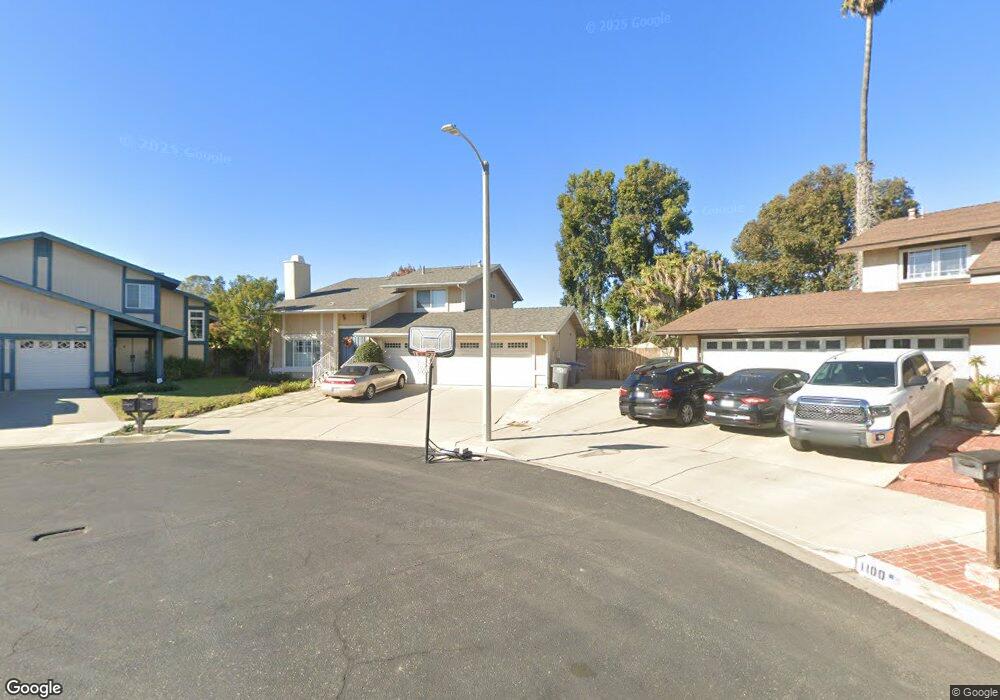
1101 Fathom Ct Oxnard, CA 93035
Via Marina NeighborhoodEstimated Value: $721,000 - $816,338
3
Beds
3
Baths
1,714
Sq Ft
$462/Sq Ft
Est. Value
About This Home
This home is located at 1101 Fathom Ct, Oxnard, CA 93035 and is currently estimated at $791,585, approximately $461 per square foot. 1101 Fathom Ct is a home located in Ventura County with nearby schools including Christa Mcauliffe Elementary School and Oxnard High School.
Ownership History
Date
Name
Owned For
Owner Type
Purchase Details
Closed on
Aug 5, 1994
Sold by
Drum Gerald and Drum Tyde
Bought by
Ramirez Alicia
Current Estimated Value
Home Financials for this Owner
Home Financials are based on the most recent Mortgage that was taken out on this home.
Original Mortgage
$65,000
Interest Rate
8.57%
Purchase Details
Closed on
May 12, 1994
Sold by
Fidelity Reconveyance Inc
Bought by
Drum Gerald and Drum Tybe
Create a Home Valuation Report for This Property
The Home Valuation Report is an in-depth analysis detailing your home's value as well as a comparison with similar homes in the area
Home Values in the Area
Average Home Value in this Area
Purchase History
| Date | Buyer | Sale Price | Title Company |
|---|---|---|---|
| Ramirez Alicia | $165,000 | Gateway Title Company | |
| Drum Gerald | $47,720 | First American Title Ins Co |
Source: Public Records
Mortgage History
| Date | Status | Borrower | Loan Amount |
|---|---|---|---|
| Closed | Ramirez Alicia | $65,000 |
Source: Public Records
Tax History
| Year | Tax Paid | Tax Assessment Tax Assessment Total Assessment is a certain percentage of the fair market value that is determined by local assessors to be the total taxable value of land and additions on the property. | Land | Improvement |
|---|---|---|---|---|
| 2025 | $3,316 | $277,083 | $110,834 | $166,249 |
| 2024 | $3,316 | $271,650 | $108,660 | $162,990 |
| 2023 | $3,195 | $266,324 | $106,529 | $159,795 |
| 2022 | $3,098 | $261,102 | $104,440 | $156,662 |
| 2021 | $3,072 | $255,983 | $102,392 | $153,591 |
| 2020 | $3,128 | $253,360 | $101,343 | $152,017 |
| 2019 | $3,039 | $248,393 | $99,356 | $149,037 |
| 2018 | $2,995 | $243,523 | $97,408 | $146,115 |
| 2017 | $2,843 | $238,749 | $95,499 | $143,250 |
| 2016 | $2,743 | $234,069 | $93,627 | $140,442 |
| 2015 | $2,770 | $230,556 | $92,222 | $138,334 |
| 2014 | -- | $226,041 | $90,416 | $135,625 |
Source: Public Records
Map
Nearby Homes
- 3712 Via Pacifica Walk
- 3545 Pier Walk
- 3175 Kelp Ln
- 3800 Alee Ln
- 1161 Windward Way
- 1437 Windshore Way
- 3746 Dunkirk Dr
- 1423 Windshore Way
- 1421 Windshore Way
- 1503 Windshore Way
- 1170 Windward Way
- 3631 Dunkirk Dr Unit 54
- 1541 Windshore Way
- 3774 Dunkirk Dr
- 1547 Windshore Way
- 4060 Tradewinds Dr
- 1521 Windshore Way
- 2923 Kelp Ln Unit 11
- 2919 Naples Dr
- 2900 Windward Way
- 1111 Fathom Ct
- 1100 Fathom Ct
- 1100 Deckside Dr
- 1121 Fathom Ct
- 1110 Deckside Dr
- 0 W Wooley Rd
- 1120 Deckside Dr
- 1110 Fathom Ct
- 1131 Fathom Ct
- 1120 Fathom Ct
- 3520 Taffrail Ln
- 3510 Taffrail Ln
- 1130 Deckside Dr
- 3530 Taffrail Ln
- 3500 Taffrail Ln
- 3471 Neap Place
- 3540 Taffrail Ln
- 1140 Deckside Dr
- 1141 Fathom Ct
- 3470 Taffrail Ln
Your Personal Tour Guide
Ask me questions while you tour the home.