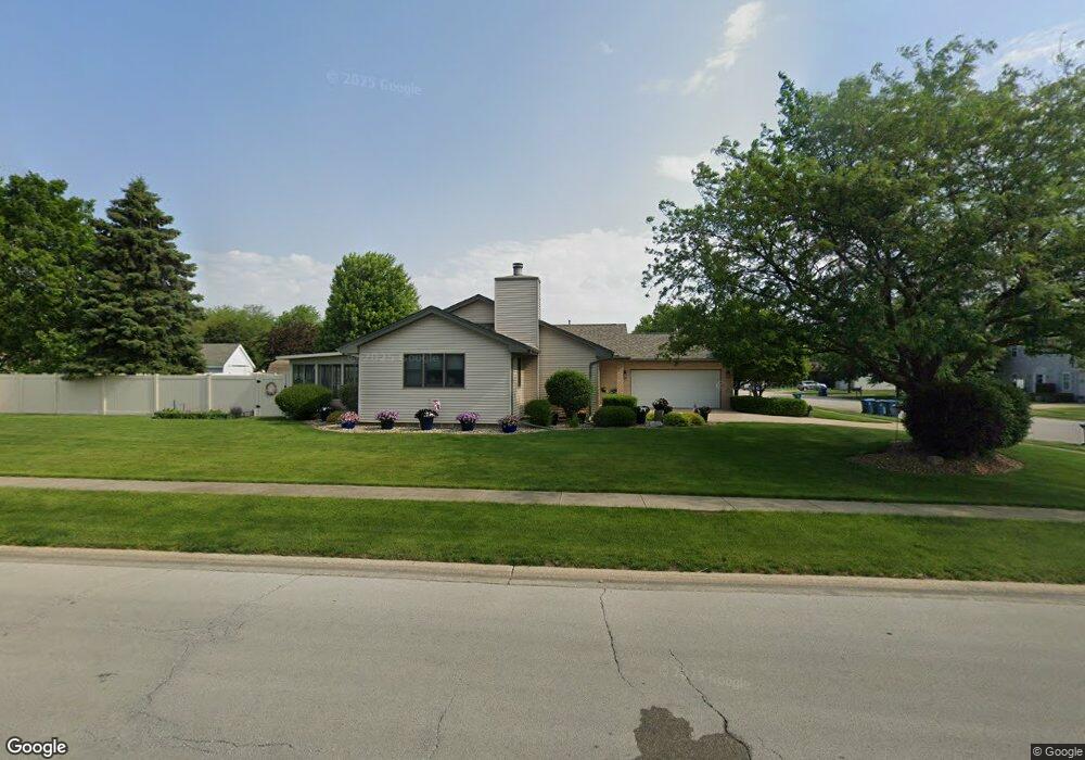
1101 King Arthur Ln Bourbonnais, IL 60914
Estimated Value: $274,000 - $294,810
3
Beds
2
Baths
1,617
Sq Ft
$175/Sq Ft
Est. Value
About This Home
This home is located at 1101 King Arthur Ln, Bourbonnais, IL 60914 and is currently estimated at $282,203, approximately $174 per square foot. 1101 King Arthur Ln is a home located in Kankakee County with nearby schools including St. George Elementary School, Bradley-Bourbonnais Community High School, and Kankakee Valley Montessori School.
Ownership History
Date
Name
Owned For
Owner Type
Purchase Details
Closed on
Jun 24, 2005
Sold by
Schill Charles M and Schill Geraldine
Bought by
Lehnus Dennis O and Lehnus Marlew C
Current Estimated Value
Home Financials for this Owner
Home Financials are based on the most recent Mortgage that was taken out on this home.
Original Mortgage
$70,000
Outstanding Balance
$36,803
Interest Rate
5.87%
Mortgage Type
New Conventional
Estimated Equity
$245,400
Create a Home Valuation Report for This Property
The Home Valuation Report is an in-depth analysis detailing your home's value as well as a comparison with similar homes in the area
Home Values in the Area
Average Home Value in this Area
Purchase History
| Date | Buyer | Sale Price | Title Company |
|---|---|---|---|
| Lehnus Dennis O | $163,000 | Standard Title |
Source: Public Records
Mortgage History
| Date | Status | Borrower | Loan Amount |
|---|---|---|---|
| Open | Lehnus Dennis O | $70,000 |
Source: Public Records
Tax History Compared to Growth
Tax History
| Year | Tax Paid | Tax Assessment Tax Assessment Total Assessment is a certain percentage of the fair market value that is determined by local assessors to be the total taxable value of land and additions on the property. | Land | Improvement |
|---|---|---|---|---|
| 2024 | $5,981 | $88,118 | $8,751 | $79,367 |
| 2023 | $5,749 | $81,591 | $8,103 | $73,488 |
| 2022 | $5,255 | $72,203 | $7,810 | $64,393 |
| 2021 | $4,879 | $66,494 | $7,638 | $58,856 |
| 2020 | $4,451 | $62,503 | $7,434 | $55,069 |
| 2019 | $4,551 | $60,682 | $7,217 | $53,465 |
| 2018 | $4,498 | $59,785 | $7,110 | $52,675 |
| 2017 | $4,454 | $58,327 | $6,937 | $51,390 |
| 2016 | $4,498 | $59,031 | $6,834 | $52,197 |
| 2015 | $4,622 | $60,044 | $6,766 | $53,278 |
| 2014 | $4,537 | $60,654 | $6,766 | $53,888 |
| 2013 | -- | $62,122 | $6,766 | $55,356 |
Source: Public Records
Map
Nearby Homes
- 1507 Noble Quest Dr
- 1078 Mallard Dr
- 1394 E Armour Rd
- 1372 E Armour Rd
- 485 Prince Valiant Ln
- 641 N Jackson Ave
- 1248 Madison Ct
- 1548 Amhurst Way
- 100 Northbrooke Dr
- 296 N Jackson Ave
- 289 N Jackson Ave
- 608 Huntington Ct Unit 608
- 1802 Derby Dr
- 1325 N Arthur Burch Dr Unit B16
- 1900 Claire Dr
- 1355 N Arthur Burch Dr Unit R21
- 1355 N Arthur Burch Dr Unit F09
- 2033 Willow Brook Dr
- 2242 Crescent St
- 2213 Monarch St
- 1102 King Arthur Ln
- 1097 King Arthur Ln
- 1113 King Arthur Ln
- 1110 King Arthur Ln
- 1127 King Arthur Ln
- 1521 Sir Lancelot Dr
- 1100 Cardinal Dr
- 1083 King Arthur Ln
- 1126 King Arthur Ln
- 1507 Sir Lancelot Dr
- 1135 King Arthur Ln
- 1077 King Arthur Ln
- 1110 Cardinal Dr
- 1529 Sir Lancelot Dr
- 1138 King Arthur Ln
- 1115 Guinevere Ln
- 1501 Sir Lancelot Dr
- 1141 King Arthur Ln
- 1127 Guinevere Ln
- 1522 Noble Quest Dr