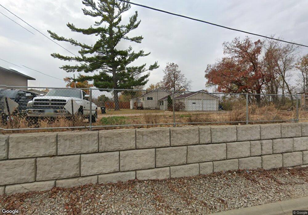
1101 Memory Ln Cedar Rapids, IA 52403
Estimated Value: $206,620 - $248,000
3
Beds
2
Baths
1,407
Sq Ft
$164/Sq Ft
Est. Value
About This Home
This home is located at 1101 Memory Ln, Cedar Rapids, IA 52403 and is currently estimated at $231,155, approximately $164 per square foot. 1101 Memory Ln is a home located in Linn County with nearby schools including Summit Elementary School, Erskine Elementary School, and McKinley STEAM Academy.
Ownership History
Date
Name
Owned For
Owner Type
Purchase Details
Closed on
Jul 9, 2020
Sold by
Garcia Hidalgo Arlene S
Bought by
Louden Brett N
Current Estimated Value
Home Financials for this Owner
Home Financials are based on the most recent Mortgage that was taken out on this home.
Original Mortgage
$155,700
Outstanding Balance
$139,074
Interest Rate
3.5%
Mortgage Type
New Conventional
Estimated Equity
$92,081
Purchase Details
Closed on
Dec 13, 2018
Sold by
Solomon Daniel Paul and Solomon Kerry Leanne
Bought by
Garcia Hidalgo Arlene S
Home Financials for this Owner
Home Financials are based on the most recent Mortgage that was taken out on this home.
Original Mortgage
$154,500
Interest Rate
4.9%
Mortgage Type
VA
Create a Home Valuation Report for This Property
The Home Valuation Report is an in-depth analysis detailing your home's value as well as a comparison with similar homes in the area
Home Values in the Area
Average Home Value in this Area
Purchase History
| Date | Buyer | Sale Price | Title Company |
|---|---|---|---|
| Louden Brett N | $173,000 | None Available | |
| Garcia Hidalgo Arlene S | $154,500 | None Available |
Source: Public Records
Mortgage History
| Date | Status | Borrower | Loan Amount |
|---|---|---|---|
| Open | Louden Brett N | $155,700 | |
| Previous Owner | Garcia Hidalgo Arlene S | $154,500 |
Source: Public Records
Tax History Compared to Growth
Tax History
| Year | Tax Paid | Tax Assessment Tax Assessment Total Assessment is a certain percentage of the fair market value that is determined by local assessors to be the total taxable value of land and additions on the property. | Land | Improvement |
|---|---|---|---|---|
| 2025 | $2,048 | $188,200 | $15,400 | $172,800 |
| 2024 | $1,668 | $175,500 | $15,400 | $160,100 |
| 2023 | $1,668 | $175,500 | $15,400 | $160,100 |
| 2022 | $1,640 | $118,200 | $15,400 | $102,800 |
| 2021 | $1,640 | $118,200 | $15,400 | $102,800 |
| 2020 | $0 | $114,600 | $15,400 | $99,200 |
| 2019 | $1,256 | $93,800 | $15,400 | $78,400 |
| 2018 | $1,224 | $93,800 | $15,400 | $78,400 |
| 2017 | $1,230 | $90,300 | $15,400 | $74,900 |
| 2016 | $1,326 | $90,300 | $15,400 | $74,900 |
| 2015 | $1,332 | $90,300 | $15,400 | $74,900 |
| 2014 | $1,204 | $90,300 | $15,400 | $74,900 |
| 2013 | $1,178 | $90,300 | $15,400 | $74,900 |
Source: Public Records
Map
Nearby Homes
- 1223 Vernon Hill Blvd
- 1209 Rose St
- 921 Rosedale Rd SE
- 827 Tumble Grass Ct SE
- 819 Tumble Grass Ct SE
- 5638 Meadow Grass Cir SE
- 5750 Meadow Grass Cir SE
- 5658 Meadow Grass Cir SE
- Lot 29 Kestrel Heights SE
- Lot 30 Kestrel Heights
- Lot 33 Kestrel Heights
- Lot 35 Kestrel Heights
- Lot 29 Kestrel Heights
- Lot 31 Kestrel Heights
- 6936 Hackberry Loop
- 6932 Hackberry Loop
- 6849 Pumpkin Patch Blvd
- 6485 Cabbage Patch Place
- 6876 Bottom Land Ln
- 6859 Pumpkin Patch Blvd
- 1101 Memory Ln
- 6400 Parkview Ave
- 6403 Mount Vernon Rd SE
- 6405 Mount Vernon Rd SE
- 6408 Parkview Ave
- 1209 Memory Ln
- 1209 Memory Ln
- 6401 Parkview Ave
- 1201 Vernon Hill Blvd
- 6402 Mount Vernon Rd SE
- 1212 Memory Ln
- 6500 Parkview Ave
- 1219 Vernon Hill Blvd
- 1200 Vernon Hill Blvd
- 1200 Vernon Hill Blvd
- 6505 Mount Vernon Rd SE
- 1212 Vernon Hill Blvd
- 1216 Vernon Hill Blvd
- 1205 Rose St
- 1220 Vernon Hill Blvd