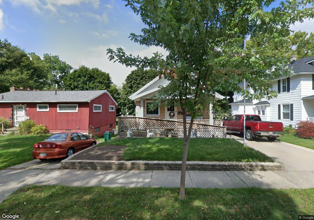
1101 Parkdale St Lansing, MI 48910
Clifford Park NeighborhoodEstimated Value: $146,304 - $177,000
--
Bed
--
Bath
1,200
Sq Ft
$135/Sq Ft
Est. Value
About This Home
This home is located at 1101 Parkdale St, Lansing, MI 48910 and is currently estimated at $162,076, approximately $135 per square foot. 1101 Parkdale St is a home located in Ingham County with nearby schools including Lyons Elementary School, Pattengill Academy, and Eastern High School.
Ownership History
Date
Name
Owned For
Owner Type
Purchase Details
Closed on
Jul 9, 2024
Sold by
Tester Gene E
Bought by
Heimburger Lisa J and Yordy Teressa A
Current Estimated Value
Purchase Details
Closed on
Jun 3, 2017
Sold by
Tester Gene E and Tester Betty A
Bought by
Tester Gene E
Purchase Details
Closed on
May 6, 2009
Sold by
Tester Betty A
Bought by
Tester Betty A and Tester Gene E
Purchase Details
Closed on
Mar 30, 2001
Sold by
Tester Betty A and Houck Betty A
Bought by
Tester Betty A
Create a Home Valuation Report for This Property
The Home Valuation Report is an in-depth analysis detailing your home's value as well as a comparison with similar homes in the area
Home Values in the Area
Average Home Value in this Area
Purchase History
| Date | Buyer | Sale Price | Title Company |
|---|---|---|---|
| Heimburger Lisa J | -- | None Listed On Document | |
| Tester Gene E | -- | None Available | |
| Tester Betty A | -- | None Available | |
| Tester Betty A | -- | -- |
Source: Public Records
Tax History Compared to Growth
Tax History
| Year | Tax Paid | Tax Assessment Tax Assessment Total Assessment is a certain percentage of the fair market value that is determined by local assessors to be the total taxable value of land and additions on the property. | Land | Improvement |
|---|---|---|---|---|
| 2025 | $2,993 | $72,200 | $6,500 | $65,700 |
| 2024 | $24 | $64,400 | $6,500 | $57,900 |
| 2023 | $2,806 | $58,500 | $6,500 | $52,000 |
| 2022 | $2,530 | $55,300 | $7,600 | $47,700 |
| 2021 | $2,478 | $52,700 | $9,700 | $43,000 |
| 2020 | $2,463 | $50,900 | $9,700 | $41,200 |
| 2019 | $2,360 | $47,100 | $9,700 | $37,400 |
| 2018 | $2,212 | $44,200 | $9,700 | $34,500 |
| 2017 | $2,118 | $44,200 | $9,700 | $34,500 |
| 2016 | $2,025 | $41,000 | $9,700 | $31,300 |
| 2015 | $2,025 | $39,200 | $19,499 | $19,701 |
| 2014 | $2,025 | $38,100 | $22,749 | $15,351 |
Source: Public Records
Map
Nearby Homes
- 1529 S Pennsylvania Ave
- 1221 Pershing Dr
- 1423 Pontiac St
- 1437 Ada St
- 1620 Clifton Ave
- 707 Isbell St
- 918 Mckim Ave
- 1539 Linval St
- 2011 Clifton Ave
- 531 Torrence Ct
- 704 Mckim Ave
- 2201 S Pennsylvania Ave
- 2215 Alpha St
- 0 E Mount Hope Ave
- 515 Jason Ct
- 1200 S Holmes St
- 506 Christiancy St
- 2309 S Pennsylvania Ave
- 904 Pacific Ave
- 2208 Lyons Ave
- 1105 Parkdale St
- 1029 Parkdale St
- 1111 Parkdale St
- 1021 Parkdale St
- 1113 Parkdale St
- 1021 Parkdale Ave
- 1117 Parkdale St
- 1017 Parkdale St
- 1100 Parkdale St
- 1104 Parkdale St
- 1015 Parkdale St
- 1112 Parkdale St
- 1600 Alpha St
- 1112 Parkdale Ave
- 1604 Alpha St
- 1534 Shubel Ave
- 1116 Parkdale St
- 1540 Shubel Ave
- 1528 Shubel Ave
- 1522 Shubel Ave