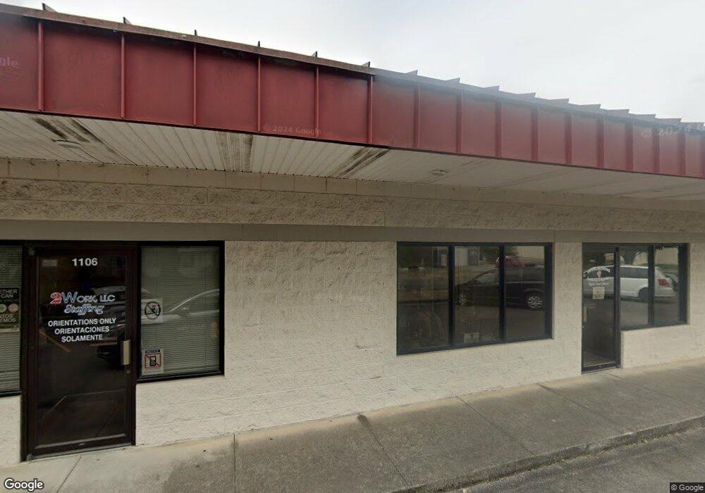
1101 S Thornton Ave Dalton, GA 30720
Estimated Value: $282,341
--
Bed
1
Bath
2,622
Sq Ft
$108/Sq Ft
Est. Value
About This Home
This home is located at 1101 S Thornton Ave, Dalton, GA 30720 and is currently estimated at $282,341, approximately $107 per square foot. 1101 S Thornton Ave is a home located in Whitfield County with nearby schools including Brookwood Elementary School, Dalton Middle School, and Dalton High School.
Ownership History
Date
Name
Owned For
Owner Type
Purchase Details
Closed on
Aug 9, 2013
Sold by
Community & Southern Bank
Bought by
Csg Leasing Inc
Current Estimated Value
Purchase Details
Closed on
May 14, 2010
Sold by
Nelson Homer B
Bought by
Campbell Charles
Purchase Details
Closed on
Sep 28, 2007
Sold by
Not Provided
Bought by
Campbell Charles
Purchase Details
Closed on
Jan 1, 1998
Bought by
Nelson Homer B and Nelson Betty J
Create a Home Valuation Report for This Property
The Home Valuation Report is an in-depth analysis detailing your home's value as well as a comparison with similar homes in the area
Home Values in the Area
Average Home Value in this Area
Purchase History
| Date | Buyer | Sale Price | Title Company |
|---|---|---|---|
| Csg Leasing Inc | $102,000 | -- | |
| Campbell Charles | -- | -- | |
| Campbell Charles | -- | -- | |
| Nelson Homer B | $450,000 | -- |
Source: Public Records
Mortgage History
| Date | Status | Borrower | Loan Amount |
|---|---|---|---|
| Closed | Campbell Charles | $206,729 |
Source: Public Records
Tax History Compared to Growth
Tax History
| Year | Tax Paid | Tax Assessment Tax Assessment Total Assessment is a certain percentage of the fair market value that is determined by local assessors to be the total taxable value of land and additions on the property. | Land | Improvement |
|---|---|---|---|---|
| 2024 | $2,266 | $109,128 | $25,200 | $83,928 |
| 2023 | $2,266 | $61,106 | $11,157 | $49,949 |
| 2022 | $1,780 | $51,679 | $11,157 | $40,522 |
| 2021 | $1,783 | $51,679 | $11,157 | $40,522 |
| 2020 | $1,852 | $51,679 | $11,157 | $40,522 |
| 2019 | $1,909 | $51,679 | $11,157 | $40,522 |
| 2018 | $1,938 | $51,679 | $11,157 | $40,522 |
| 2017 | $1,865 | $51,679 | $11,157 | $40,522 |
| 2016 | $1,877 | $51,679 | $11,157 | $40,522 |
| 2014 | $1,706 | $51,680 | $11,157 | $40,522 |
| 2013 | -- | $51,679 | $11,157 | $40,522 |
Source: Public Records
Map
Nearby Homes
- 920 Sunset Cir
- 703 W Walnut Ave
- 708 Miller St
- 934 Hardwick Cir
- 903 Hillcrest St
- 924 Stoneleigh Rd
- 1411 Red Hill Dr
- 705 Greenwood Dr
- 429 S Glenwood Ave
- 914 W Walnut Ave
- 1209 W Lakeshore Dr
- 805 Judd Terrace
- 807 Judd Terrace
- 902 Mattie Dr
- 1105 Desota Dr
- 406 S Thornton Ave Unit 101
- 406 S Thornton Ave
- 1307 Valencia Way
- 512 Williamsburg Dr
- 1117 Lakemont Dr
- 1104 Boylston St
- 1106 Boylston St
- 1102 Boylston St
- 1109 S Thornton Ave
- 11 Boylston St
- 5 Boylston St
- 1134 Boylston St
- 1 Boylston St
- 1131 Boylston St
- 1101 Boylston St
- 1144 Boylston St
- 407 Central Ave
- 1003 S Thornton Ave
- 1147 Boylston St
- 1156 Boylston St
- 1018 S Thornton Ave
- 407 Southland Dr
- 1026 Saint Charles St
- 1121 S Thornton Ave
- 411 Southland Dr
