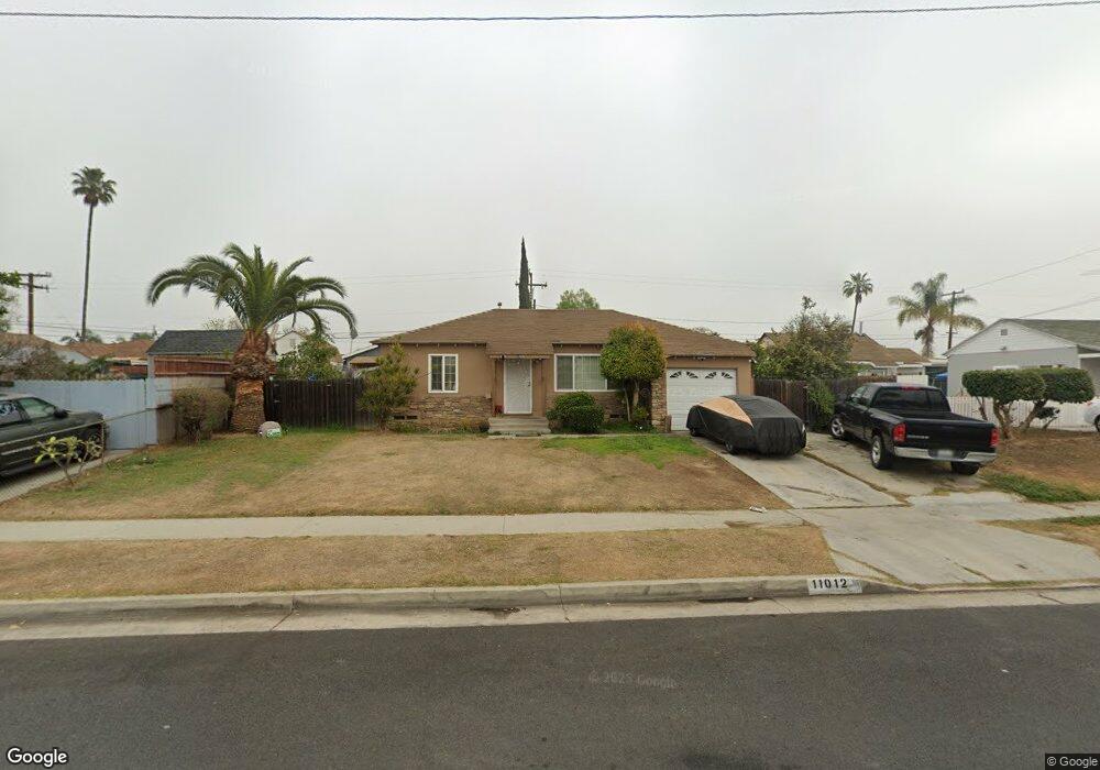
11012 Leland Ave Whittier, CA 90605
South Whittier NeighborhoodEstimated Value: $729,121 - $789,000
4
Beds
2
Baths
1,238
Sq Ft
$605/Sq Ft
Est. Value
About This Home
This home is located at 11012 Leland Ave, Whittier, CA 90605 and is currently estimated at $749,280, approximately $605 per square foot. 11012 Leland Ave is a home located in Los Angeles County with nearby schools including California High School, Carden Academy of Whittier, and St. Gregory The Great.
Ownership History
Date
Name
Owned For
Owner Type
Purchase Details
Closed on
Mar 27, 1996
Sold by
Lawless Wilson
Bought by
Castro Juan A and Castro Ofelia
Current Estimated Value
Home Financials for this Owner
Home Financials are based on the most recent Mortgage that was taken out on this home.
Original Mortgage
$130,500
Interest Rate
8.39%
Create a Home Valuation Report for This Property
The Home Valuation Report is an in-depth analysis detailing your home's value as well as a comparison with similar homes in the area
Home Values in the Area
Average Home Value in this Area
Purchase History
| Date | Buyer | Sale Price | Title Company |
|---|---|---|---|
| Castro Juan A | $137,500 | Continental Lawyers Title Co |
Source: Public Records
Mortgage History
| Date | Status | Borrower | Loan Amount |
|---|---|---|---|
| Previous Owner | Castro Juan A | $130,500 |
Source: Public Records
Tax History Compared to Growth
Tax History
| Year | Tax Paid | Tax Assessment Tax Assessment Total Assessment is a certain percentage of the fair market value that is determined by local assessors to be the total taxable value of land and additions on the property. | Land | Improvement |
|---|---|---|---|---|
| 2025 | $2,998 | $223,757 | $146,084 | $77,673 |
| 2024 | $2,998 | $219,370 | $143,220 | $76,150 |
| 2023 | $2,909 | $215,069 | $140,412 | $74,657 |
| 2022 | $2,921 | $210,853 | $137,659 | $73,194 |
| 2021 | $2,858 | $206,719 | $134,960 | $71,759 |
| 2019 | $2,806 | $200,590 | $130,958 | $69,632 |
| 2018 | $2,684 | $196,658 | $128,391 | $68,267 |
| 2016 | $2,544 | $189,023 | $123,406 | $65,617 |
| 2015 | $2,481 | $186,185 | $121,553 | $64,632 |
| 2014 | $2,461 | $182,538 | $119,172 | $63,366 |
Source: Public Records
Map
Nearby Homes
- 11116 Leland Ave
- 11016 Inez St
- 11329 Telechron Ave
- 11426 Newgate Ave
- 10849 Inez St
- 13538 Lukay St
- 13305 Meyer Rd Unit B
- 10745 Victoria Ave Unit 4
- 10745 Victoria Ave Unit 6
- 10745 Victoria Ave
- 11102 Eagle Ln
- 11118 Bunker Ln
- 13481 Meyer Rd
- 13752 Bentongrove Dr
- 11531 Sunnybrook Ln
- 11828 Louis Ave
- 13272 Beaty Ave
- 11518 Fidel Ave
- 11428 Painter Ave
- 11624 Starlight Ave
- 11020 Leland Ave
- 13604 Lakeland Rd
- 13610 Lakeland Rd
- 13611 Hermes St
- 13616 Lakeland Rd
- 13617 Hermes St
- 11015 Leland Ave
- 11007 Leland Ave
- 11003 Leland Ave
- 13621 Hermes St
- 13620 Lakeland Rd
- 11025 Leland Ave
- 11029 Leland Ave
- 13546 Lakeland Rd
- 13604 Hermes St
- 13626 Lakeland Rd
- 13627 Hermes St
- 13605 Lakeland Rd
- 13611 Lakeland Rd
- 11031 Leland Ave