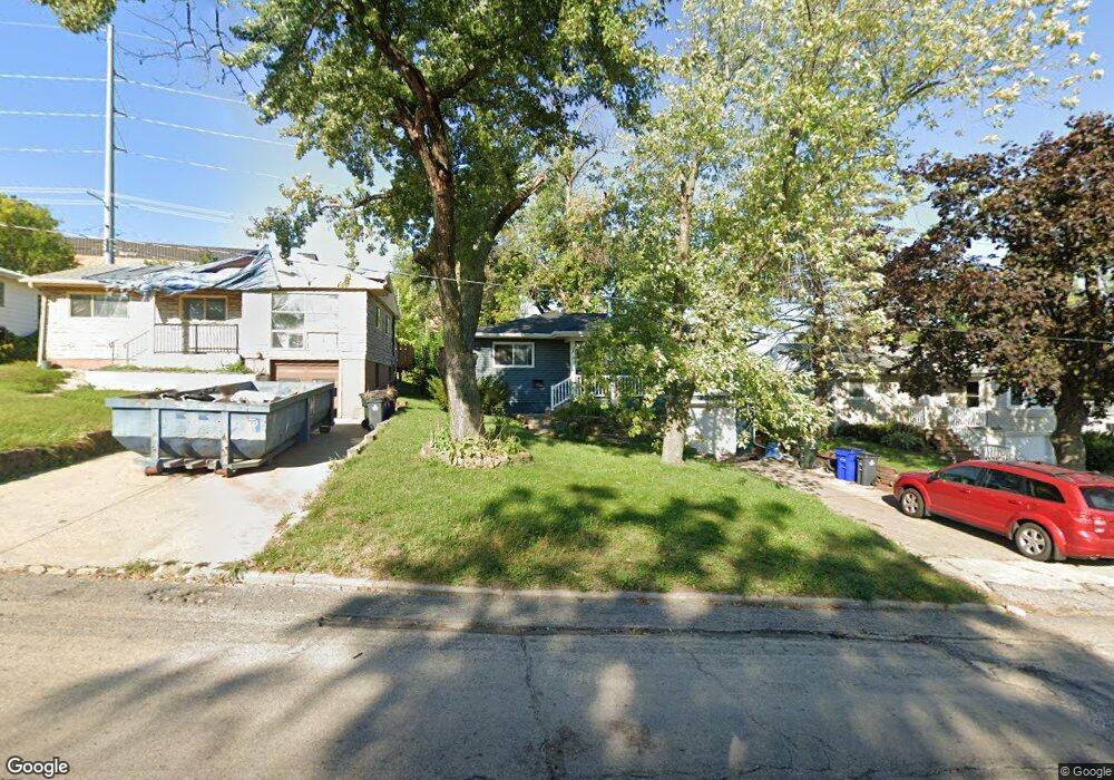
1102 18th St SW Cedar Rapids, IA 52404
Cleveland Area NeighborhoodEstimated Value: $159,000 - $187,000
3
Beds
1
Bath
1,382
Sq Ft
$126/Sq Ft
Est. Value
About This Home
This home is located at 1102 18th St SW, Cedar Rapids, IA 52404 and is currently estimated at $173,912, approximately $125 per square foot. 1102 18th St SW is a home located in Linn County with nearby schools including Junction City Elementary School, Cleveland Elementary School, and Kentucky Tech - Ashland Reg Tech Center.
Ownership History
Date
Name
Owned For
Owner Type
Purchase Details
Closed on
Mar 23, 2010
Sold by
Shannon Lance D and Shannon Lynn A
Bought by
Drzycimski Andrew J and Drzycimski Melissa J
Current Estimated Value
Home Financials for this Owner
Home Financials are based on the most recent Mortgage that was taken out on this home.
Original Mortgage
$87,465
Outstanding Balance
$59,793
Interest Rate
5.62%
Mortgage Type
New Conventional
Estimated Equity
$114,119
Purchase Details
Closed on
Mar 25, 2002
Sold by
Meyer Jerry D and Gilloon Meyer Mary R
Bought by
Shannon Lance D and Shannon Lynn A
Home Financials for this Owner
Home Financials are based on the most recent Mortgage that was taken out on this home.
Original Mortgage
$83,194
Interest Rate
6.93%
Mortgage Type
FHA
Create a Home Valuation Report for This Property
The Home Valuation Report is an in-depth analysis detailing your home's value as well as a comparison with similar homes in the area
Home Values in the Area
Average Home Value in this Area
Purchase History
| Date | Buyer | Sale Price | Title Company |
|---|---|---|---|
| Drzycimski Andrew J | $102,500 | None Available | |
| Shannon Lance D | $84,000 | -- |
Source: Public Records
Mortgage History
| Date | Status | Borrower | Loan Amount |
|---|---|---|---|
| Open | Drzycimski Andrew J | $87,465 | |
| Previous Owner | Shannon Lance D | $83,194 |
Source: Public Records
Tax History Compared to Growth
Tax History
| Year | Tax Paid | Tax Assessment Tax Assessment Total Assessment is a certain percentage of the fair market value that is determined by local assessors to be the total taxable value of land and additions on the property. | Land | Improvement |
|---|---|---|---|---|
| 2025 | $2,540 | $162,200 | $26,700 | $135,500 |
| 2024 | $2,754 | $151,900 | $24,300 | $127,600 |
| 2023 | $2,754 | $143,500 | $24,300 | $119,200 |
| 2022 | $2,426 | $130,600 | $20,600 | $110,000 |
| 2021 | $2,478 | $117,100 | $20,600 | $96,500 |
| 2020 | $2,478 | $112,300 | $19,400 | $92,900 |
| 2019 | $2,214 | $102,700 | $19,400 | $83,300 |
| 2018 | $2,030 | $102,700 | $19,400 | $83,300 |
| 2017 | $1,926 | $92,900 | $19,400 | $73,500 |
| 2016 | $1,926 | $90,600 | $19,400 | $71,200 |
| 2015 | $1,904 | $89,485 | $19,400 | $70,085 |
| 2014 | $1,904 | $92,436 | $19,400 | $73,036 |
| 2013 | $1,924 | $92,436 | $19,400 | $73,036 |
Source: Public Records
Map
Nearby Homes
- 1206 18th St SW
- 1253 20th St SW
- 1818 Holly Meadow Ave SW
- 1812 Holly Meadow Ave SW
- 1807 9th Ave SW
- 1824 Holly Meadow Ave SW
- 1806 Holly Meadow Ave SW
- 1913 Holly Meadow Ave SW
- 1801 Shady Grove Rd SW
- 1832 8th Ave SW
- 1960 Rockford Rd SW Unit 45
- 2178 Chandler St SW
- Remington - Cedar Rapids Plan at Whispering Pines
- Copeland Plan at Whispering Pines
- Meadowbrook - Cedar Rapids Plan at Stags Leap Estates
- Caldwell Plan at Stags Leap Estates
- Concord - Cedar Rapids Plan at Stags Leap Estates
- Yuma Expanded Plan at Whispering Pines
- Becker II Plan at Kirkwood Village - Kirk Wood Village
- Meadowbrook - Cedar Rapids Plan at Whispering Pines
- 1104 18th St SW
- 1106 18th St SW
- 1108 18th St SW
- 1034 18th St SW
- 1719 11th Ave SW
- 1103 18th St SW
- 1716 12th Ave SW
- 1200 18th St SW
- 1030 18th St SW
- 1204 18th St SW
- 1715 11th Ave SW
- 1718 11th Ave SW
- 1712 12th Ave SW
- 1026 18th St SW
- 1721 12th Ave SW
- 1711 11th Ave SW
- 1027 18th St SW
- 1710 12th Ave SW
- 1714 11th Ave SW
- 1022 18th St SW