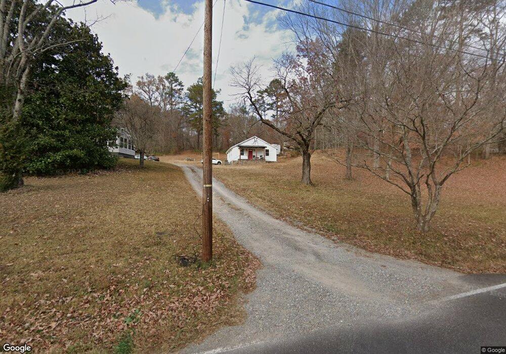
1102 Foust Carney Rd Powell, TN 37849
South Clinton NeighborhoodEstimated Value: $151,000 - $233,000
--
Bed
1
Bath
896
Sq Ft
$197/Sq Ft
Est. Value
About This Home
This home is located at 1102 Foust Carney Rd, Powell, TN 37849 and is currently estimated at $176,609, approximately $197 per square foot. 1102 Foust Carney Rd is a home located in Anderson County.
Ownership History
Date
Name
Owned For
Owner Type
Purchase Details
Closed on
Jun 17, 2022
Sold by
King and Rodney
Bought by
Waterson Kelsey E
Current Estimated Value
Home Financials for this Owner
Home Financials are based on the most recent Mortgage that was taken out on this home.
Original Mortgage
$151,515
Outstanding Balance
$144,205
Interest Rate
5.3%
Mortgage Type
New Conventional
Estimated Equity
$32,404
Purchase Details
Closed on
Feb 11, 2021
Sold by
Hoff Barbara and Estate Of Margaret Louise Bent
Bought by
King Hope and King Rodney
Purchase Details
Closed on
Feb 5, 2009
Sold by
Bentley Lousie A
Bought by
Bentley Louise A
Purchase Details
Closed on
Dec 10, 2008
Sold by
Allen Virgil Columbus
Bought by
Bentley Louise A
Purchase Details
Closed on
Dec 2, 2008
Sold by
Fox Rosalee Allen
Bought by
Bentley Louise A
Create a Home Valuation Report for This Property
The Home Valuation Report is an in-depth analysis detailing your home's value as well as a comparison with similar homes in the area
Home Values in the Area
Average Home Value in this Area
Purchase History
| Date | Buyer | Sale Price | Title Company |
|---|---|---|---|
| Waterson Kelsey E | $150,000 | Admiral Title Inc | |
| King Hope | $45,000 | Southeast Title & Escrow Llc | |
| Bentley Louise A | $42,000 | -- | |
| Bentley Louise A | -- | -- | |
| Bentley Louise A | -- | -- |
Source: Public Records
Mortgage History
| Date | Status | Borrower | Loan Amount |
|---|---|---|---|
| Open | Waterson Kelsey E | $151,515 |
Source: Public Records
Tax History Compared to Growth
Tax History
| Year | Tax Paid | Tax Assessment Tax Assessment Total Assessment is a certain percentage of the fair market value that is determined by local assessors to be the total taxable value of land and additions on the property. | Land | Improvement |
|---|---|---|---|---|
| 2024 | $596 | $22,675 | $5,675 | $17,000 |
| 2023 | $354 | $13,450 | $0 | $0 |
| 2022 | $283 | $10,750 | $5,675 | $5,075 |
| 2021 | $283 | $10,750 | $5,675 | $5,075 |
| 2020 | $276 | $10,750 | $5,675 | $5,075 |
| 2019 | $268 | $9,275 | $5,375 | $3,900 |
| 2018 | $259 | $9,275 | $5,375 | $3,900 |
| 2017 | $259 | $9,275 | $5,375 | $3,900 |
| 2016 | $259 | $9,275 | $5,375 | $3,900 |
| 2015 | -- | $9,275 | $5,375 | $3,900 |
| 2014 | -- | $9,275 | $5,375 | $3,900 |
| 2013 | -- | $10,700 | $0 | $0 |
Source: Public Records
Map
Nearby Homes
- 135 Edgewood Heights Ln
- 120 East Cir
- 120 West Ln
- 505 Foust Carney Rd
- 112 Glenn Cir
- 109 Glenn Cir
- 170 Cedar Cir
- 110 Courtland Ln
- 3035 W Wolf Valley Rd
- 3225 W Wolf Valley Rd
- 2215 Clinton Hwy
- 3275 W Wolf Valley Rd
- 161 Milligan Ln
- 225 Over Mountain Ln
- 0 St James Ln Unit 1303175
- 0 Saint James Ln Unit 1313852
- 3341 W Wolf Valley Rd
- Lot 6 St James Ln
- 372 Walnut Valley Rd
- Lot 5 St James Ln
- 1044 Foust Carney Rd
- 1104 Foust Carney Rd
- 0 Wilder Ln
- 1040 Foust Carney Rd
- 1107 Foust Carney Rd
- 1112 Foust Carney Rd
- 253 N Dogwood Rd
- 1037 Foust Carney Rd
- 1034 Foust Carney Rd
- 414 N Dogwood Rd
- 1113 Foust Carney Rd
- 1118 Foust Carney Rd
- 411 N Dogwood Rd
- 408 N Dogwood Rd
- 1033 Foust Carney Rd
- 1028 Foust Carney Rd
- 405 N Dogwood Rd
- 404 N Dogwood Rd
- 108 Wilder Ln
- 1024 Foust Carney Rd