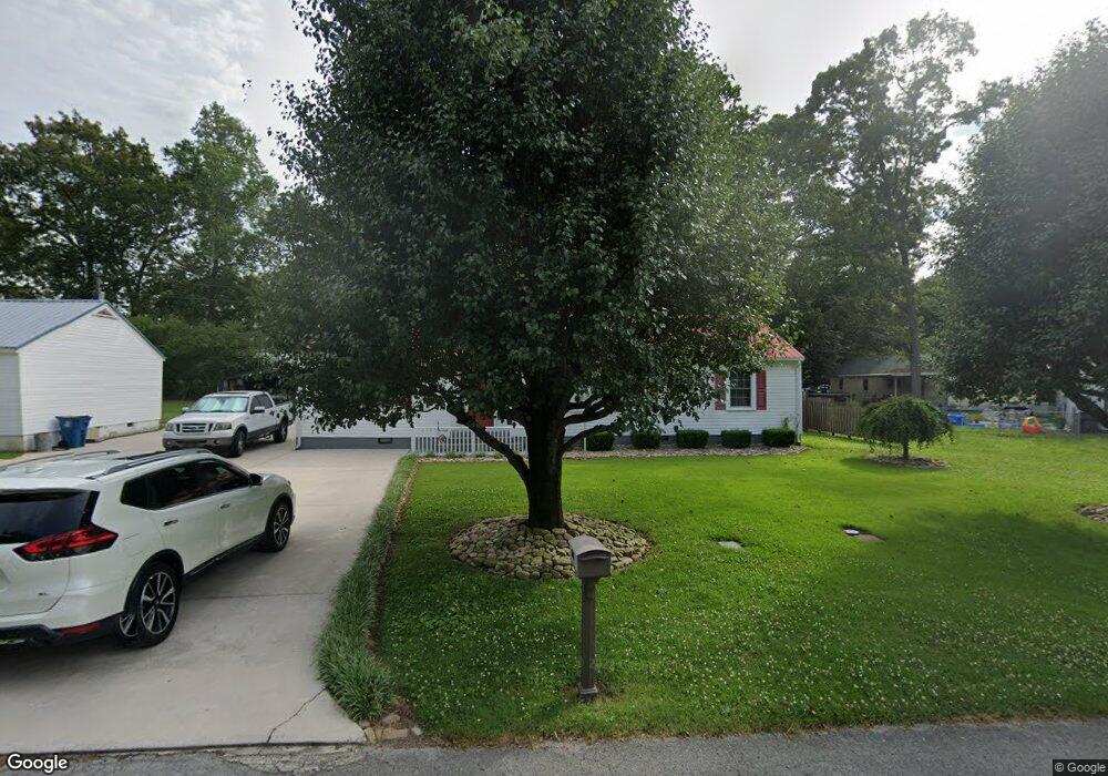
1102 Glenwood Dr Manchester, TN 37355
Estimated Value: $179,267 - $274,000
--
Bed
1
Bath
1,340
Sq Ft
$176/Sq Ft
Est. Value
About This Home
This home is located at 1102 Glenwood Dr, Manchester, TN 37355 and is currently estimated at $235,817, approximately $175 per square foot. 1102 Glenwood Dr is a home located in Coffee County with nearby schools including Westwood Middle School and Temple Baptist Christian School.
Ownership History
Date
Name
Owned For
Owner Type
Purchase Details
Closed on
Mar 10, 2003
Sold by
Thrasher Larry S
Bought by
Thrasher Larry S and Thrasher Patsy F
Current Estimated Value
Home Financials for this Owner
Home Financials are based on the most recent Mortgage that was taken out on this home.
Original Mortgage
$53,000
Interest Rate
5.86%
Purchase Details
Closed on
Dec 4, 1991
Bought by
Thrasher Larry S
Purchase Details
Closed on
Sep 19, 1991
Bought by
Driver Jimmy
Purchase Details
Closed on
Nov 20, 1987
Create a Home Valuation Report for This Property
The Home Valuation Report is an in-depth analysis detailing your home's value as well as a comparison with similar homes in the area
Home Values in the Area
Average Home Value in this Area
Purchase History
| Date | Buyer | Sale Price | Title Company |
|---|---|---|---|
| Thrasher Larry S | -- | -- | |
| Thrasher Larry S | $41,500 | -- | |
| Driver Jimmy | $26,700 | -- | |
| -- | $36,000 | -- |
Source: Public Records
Mortgage History
| Date | Status | Borrower | Loan Amount |
|---|---|---|---|
| Closed | -- | $53,000 |
Source: Public Records
Tax History Compared to Growth
Tax History
| Year | Tax Paid | Tax Assessment Tax Assessment Total Assessment is a certain percentage of the fair market value that is determined by local assessors to be the total taxable value of land and additions on the property. | Land | Improvement |
|---|---|---|---|---|
| 2024 | $1,320 | $31,300 | $2,500 | $28,800 |
| 2023 | $1,320 | $31,300 | $0 | $0 |
| 2022 | $1,136 | $31,300 | $2,500 | $28,800 |
| 2021 | $743 | $16,225 | $2,500 | $13,725 |
| 2020 | $743 | $16,225 | $2,500 | $13,725 |
| 2019 | $743 | $16,225 | $2,500 | $13,725 |
| 2018 | $743 | $16,225 | $2,500 | $13,725 |
| 2017 | $791 | $15,075 | $2,500 | $12,575 |
| 2016 | $791 | $15,075 | $2,500 | $12,575 |
| 2015 | $791 | $15,075 | $2,500 | $12,575 |
| 2014 | $791 | $15,073 | $0 | $0 |
Source: Public Records
Map
Nearby Homes
- 1203 Woodland Dr
- 711 Lowry St
- 1005 Thoma St
- 802 Lowry St
- 1014 Hills Chapel Rd
- 1005 Keylon St
- 605 Johnson St
- 820 Keylon St
- 602 Johnson St
- 515 Mckellar Dr
- 902 Mcarthur St
- 608 Henley St
- 1610 Summer St
- 970 Oak Dr
- 200 Reynard St
- 333 Blanford Cir
- 1221 Hillcrest Dr
- 709 Mill St
- 1319 Hills Chapel Rd
- 1212 Woodcrest Dr
- 1104 Glenwood Dr
- 1001 Evins St
- 1003 Evins St
- 1103 Woodland Dr
- 1000 Woodland Ct
- 1105 Woodland Dr
- 1101 Woodland Dr
- 1101 Glenwood Dr
- 910 Woodland Ct
- 905 Evins St
- 1107 Woodland Dr
- 1004 Woodland Ct
- 906 Woodland Ct
- 1000 Evins St
- 904 Woodland Ct
- 1002 Evins St
- 1001 Woodland Ct
- 1104 Woodland Dr
- 903 Evins St
- 1102 Woodland Dr