1102 Hanover St Unit h Hanover, MA 02339
Estimated Value: $366,291
--
Bed
1
Bath
1,500
Sq Ft
$244/Sq Ft
Est. Value
About This Home
This home is located at 1102 Hanover St Unit h, Hanover, MA 02339 and is currently estimated at $366,291, approximately $244 per square foot. 1102 Hanover St Unit h is a home located in Plymouth County with nearby schools including Hanover High School and Cardinal Cushing Centers.
Ownership History
Date
Name
Owned For
Owner Type
Purchase Details
Closed on
Nov 13, 2018
Sold by
Crook Louis R and Crook Diane L
Bought by
1102 Hanover Ldc Rt
Current Estimated Value
Purchase Details
Closed on
Jul 15, 2009
Sold by
Frehill Terri-Ann and Frehill Richard
Bought by
Chaindrive Nt and Barry Christopher G
Purchase Details
Closed on
Apr 25, 2002
Sold by
Shaner Co Inc
Bought by
Frehill Richard and Frehill Terri Ann
Create a Home Valuation Report for This Property
The Home Valuation Report is an in-depth analysis detailing your home's value as well as a comparison with similar homes in the area
Home Values in the Area
Average Home Value in this Area
Purchase History
| Date | Buyer | Sale Price | Title Company |
|---|---|---|---|
| 1102 Hanover Ldc Rt | -- | -- | |
| Chaindrive Nt | $155,000 | -- | |
| Frehill Richard | $130,000 | -- |
Source: Public Records
Mortgage History
| Date | Status | Borrower | Loan Amount |
|---|---|---|---|
| Previous Owner | Frehill Richard | $34,229 |
Source: Public Records
Tax History Compared to Growth
Tax History
| Year | Tax Paid | Tax Assessment Tax Assessment Total Assessment is a certain percentage of the fair market value that is determined by local assessors to be the total taxable value of land and additions on the property. | Land | Improvement |
|---|---|---|---|---|
| 2025 | $4,081 | $279,500 | $0 | $279,500 |
| 2024 | $3,759 | $279,500 | $0 | $279,500 |
| 2023 | $3,279 | $243,100 | $0 | $243,100 |
| 2022 | $3,179 | $199,300 | $0 | $199,300 |
| 2021 | $3,570 | $208,900 | $0 | $208,900 |
| 2020 | $3,566 | $208,900 | $0 | $208,900 |
| 2019 | $3,104 | $178,600 | $0 | $178,600 |
| 2018 | $2,979 | $174,700 | $0 | $174,700 |
| 2017 | $2,446 | $141,200 | $0 | $141,200 |
| 2016 | $2,525 | $141,200 | $0 | $141,200 |
| 2015 | $2,420 | $141,200 | $0 | $141,200 |
Source: Public Records
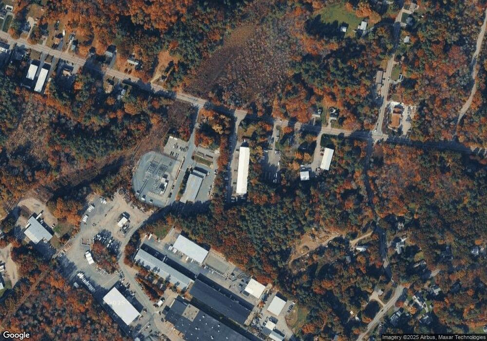
Map
Nearby Homes
- 1102 Hanover St Unit G&H
- 1102 Hanover St Unit J
- 1102 Hanover St Unit D
- 1088 Hanover St
- 1078 Hanover St
- 1078 Hanover St Unit 2
- 1078 Hanover St Unit 1
- 1078 Hanover St
- 1118 Hanover St
- 1054 Hanover St
- 1052 Hanover St Unit 3
- 1052 Hanover St Unit 4
- 1063 Hanover St
- 1055 Hanover St
- 1143 Hanover St
- 285 Circuit St
- 24 Plain St
- 1160 Hanover St
- 1159 Hanover St
- 1176 Hanover St