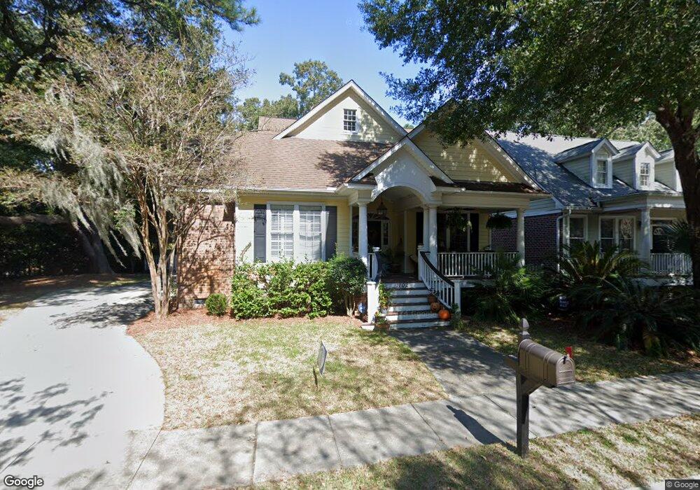
1102 Harbor Trace Cir Charleston, SC 29412
James Island NeighborhoodEstimated Value: $802,000 - $1,138,000
4
Beds
3
Baths
2,586
Sq Ft
$369/Sq Ft
Est. Value
About This Home
This home is located at 1102 Harbor Trace Cir, Charleston, SC 29412 and is currently estimated at $953,044, approximately $368 per square foot. 1102 Harbor Trace Cir is a home located in Charleston County with nearby schools including Stiles Point Elementary School, Camp Road Middle, and James Island Charter High School.
Ownership History
Date
Name
Owned For
Owner Type
Purchase Details
Closed on
Jun 17, 2014
Sold by
Ion Venture Llc
Bought by
Henderson Alvin T and Henderson Lindsey
Current Estimated Value
Home Financials for this Owner
Home Financials are based on the most recent Mortgage that was taken out on this home.
Original Mortgage
$250,000
Outstanding Balance
$190,726
Interest Rate
4.28%
Mortgage Type
New Conventional
Estimated Equity
$762,318
Purchase Details
Closed on
May 29, 2003
Sold by
Affirmation Oaks Llc
Bought by
Lynch Joan A and Lynch Joseph A
Create a Home Valuation Report for This Property
The Home Valuation Report is an in-depth analysis detailing your home's value as well as a comparison with similar homes in the area
Home Values in the Area
Average Home Value in this Area
Purchase History
| Date | Buyer | Sale Price | Title Company |
|---|---|---|---|
| Henderson Alvin T | $430,000 | -- | |
| Lynch Joan A | $332,900 | -- |
Source: Public Records
Mortgage History
| Date | Status | Borrower | Loan Amount |
|---|---|---|---|
| Open | Henderson Alvin T | $250,000 |
Source: Public Records
Tax History Compared to Growth
Tax History
| Year | Tax Paid | Tax Assessment Tax Assessment Total Assessment is a certain percentage of the fair market value that is determined by local assessors to be the total taxable value of land and additions on the property. | Land | Improvement |
|---|---|---|---|---|
| 2024 | $2,888 | $19,780 | $0 | $0 |
| 2023 | $2,591 | $19,780 | $0 | $0 |
| 2022 | $2,416 | $19,780 | $0 | $0 |
| 2021 | $2,535 | $19,780 | $0 | $0 |
| 2020 | $2,629 | $19,780 | $0 | $0 |
| 2019 | $2,338 | $17,200 | $0 | $0 |
| 2017 | $2,256 | $17,200 | $0 | $0 |
| 2016 | $2,161 | $17,200 | $0 | $0 |
| 2015 | $6,268 | $17,200 | $0 | $0 |
| 2014 | $1,964 | $0 | $0 | $0 |
| 2011 | -- | $0 | $0 | $0 |
Source: Public Records
Map
Nearby Homes
- 975 Harbor View Rd
- 969 Harbor View Rd
- 777 Lake Frances Dr
- 816 Porcari St
- 805 Harbor Place Dr
- 3009 Allison Cove Dr
- 764 Whispering Marsh Dr
- 713 Lake Frances Dr
- 965 Mooring Dr
- 740 Lawton Place
- 699 Castle Pinckney Dr
- 1149 Quail Dr
- 939 Mikell Dr
- 914 Godber St
- 1026 Fort Sumter Dr
- 897 Kushiwah Creek Ct
- 1120 Seaside Ln
- 924 White Point Blvd
- 779 Dills Bluff Rd
- 746 Tallwood Rd
- 1106 Harbor Trace Cir
- 1110 Harbor Trace Cir
- 14 Harbor Trace Cir
- 8 Harbor Trace Cr
- 7 Harbor Trace Cr
- 9 Harbor Trace Cr
- 10 Harbor Trace Cr
- 11 Harbor Trace Cr
- 1114 Harbor Trace Cir
- 1160 Harbor Trace Cir
- 945 Harbor View Rd
- 945 Harbor View Rd
- 945 Harbor View Rd Unit B
- 1118 Harbor Trace Cir
- 1156 Harbor Trace Cir
- 1124 Harbor Trace Cir
- 1128 Harbor Trace Cir
- 1152 Harbor Trace Cir
- 937 Harbor View Rd Unit B
- 937 Harbor View Rd