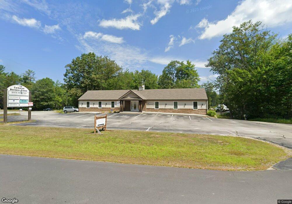
1102 Nh Route 119 Rindge, NH 03461
Estimated Value: $532,410
--
Bed
5
Baths
5,078
Sq Ft
$105/Sq Ft
Est. Value
About This Home
This home is located at 1102 Nh Route 119, Rindge, NH 03461 and is currently estimated at $532,410, approximately $104 per square foot. 1102 Nh Route 119 is a home located in Cheshire County with nearby schools including Rindge Memorial School, Conant Middle High School, and Conant High School.
Ownership History
Date
Name
Owned For
Owner Type
Purchase Details
Closed on
May 29, 2015
Sold by
Kottke Cheryl L
Bought by
John 3 16 Llc
Current Estimated Value
Home Financials for this Owner
Home Financials are based on the most recent Mortgage that was taken out on this home.
Original Mortgage
$210,000
Outstanding Balance
$162,068
Interest Rate
3.65%
Mortgage Type
Commercial
Estimated Equity
$370,342
Create a Home Valuation Report for This Property
The Home Valuation Report is an in-depth analysis detailing your home's value as well as a comparison with similar homes in the area
Home Values in the Area
Average Home Value in this Area
Purchase History
| Date | Buyer | Sale Price | Title Company |
|---|---|---|---|
| John 3 16 Llc | $280,000 | -- | |
| John 3 16 Llc | $280,000 | -- |
Source: Public Records
Mortgage History
| Date | Status | Borrower | Loan Amount |
|---|---|---|---|
| Open | John 3 16 Llc | $210,000 | |
| Closed | John 3 16 Llc | $210,000 |
Source: Public Records
Tax History Compared to Growth
Tax History
| Year | Tax Paid | Tax Assessment Tax Assessment Total Assessment is a certain percentage of the fair market value that is determined by local assessors to be the total taxable value of land and additions on the property. | Land | Improvement |
|---|---|---|---|---|
| 2024 | $9,101 | $359,600 | $0 | $359,600 |
| 2023 | $17,122 | $683,800 | $140,900 | $542,900 |
| 2022 | $11,478 | $498,400 | $140,900 | $357,500 |
| 2021 | $11,289 | $498,400 | $140,900 | $357,500 |
| 2020 | $11,189 | $498,400 | $140,900 | $357,500 |
| 2019 | $11,673 | $420,500 | $125,300 | $295,200 |
| 2018 | $11,564 | $420,500 | $125,300 | $295,200 |
| 2017 | $9,228 | $339,400 | $125,300 | $214,100 |
| 2016 | $8,150 | $292,000 | $125,300 | $166,700 |
| 2015 | $7,868 | $282,100 | $125,300 | $156,800 |
| 2014 | $9,308 | $357,600 | $136,900 | $220,700 |
| 2013 | $9,104 | $357,600 | $136,900 | $220,700 |
Source: Public Records
Map
Nearby Homes
- 11 Mark St
- Lot 4 Saybrook Dr
- 7 Emerson Dr
- 20 W Main St
- 110 Red Gate Ln
- 41 Willow Ln
- 39 Willow Ln
- 31 Willow Ln
- 37 Willow Ln
- Lot 1 Saybrook Dr
- Lot 2 Saybrook Dr
- Lot 15-0 Saybrook Dr
- Lot 14 Saybrook Dr
- 78 Pine Eden Rd
- 0 Thomas Rd Unit 10 5014817
- 46 Swan Point Rd
- 28 Wellington Rd
- 42 Cromwell Dr Unit 19
- 446 Squantum Rd
- 40 Maple Dr
- 1102 Nh Route 119 Unit Corner Top Floor - R
- 8 Butterfield Rd
- 14 Butterfield Rd
- 29 Butterfield Rd
- 26 Cathedral Rd
- 2 Fitzgerald Rd
- 3 Fitzgerald Rd Unit 2-1
- 5 Fitzgerald Rd
- 26 Butterfield Rd
- 98 Payson Hill Rd
- 1134 New Hampshire 119
- 1134 Nh Route 119
- 88 Payson Hill Rd
- 15 Fitzgerald Rd
- 93 Payson Hill Rd
- 44 Cathedral Rd
- 80 Payson Hill Rd
- 40 Butterfield Rd
- 25 Fitzgerald Rd
- 9 Fitzgerald Rd