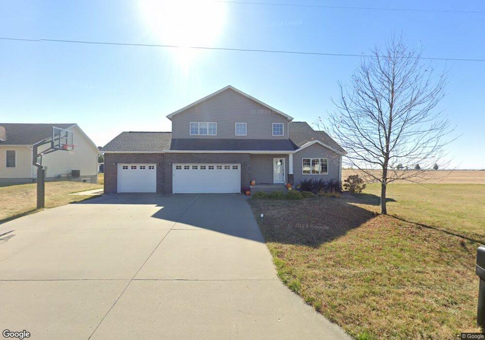
1102 Sherman St Unit DY Dysart, IA 52224
Estimated Value: $288,000 - $417,000
3
Beds
3
Baths
2,516
Sq Ft
$141/Sq Ft
Est. Value
About This Home
This home is located at 1102 Sherman St Unit DY, Dysart, IA 52224 and is currently estimated at $354,614, approximately $140 per square foot. 1102 Sherman St Unit DY is a home located in Tama County with nearby schools including Union High School.
Ownership History
Date
Name
Owned For
Owner Type
Purchase Details
Closed on
Feb 26, 2010
Sold by
Wildeboer Thomas A and Wildeboer Lindsay M
Bought by
Brown Matthew E and Brown Amanda R
Current Estimated Value
Home Financials for this Owner
Home Financials are based on the most recent Mortgage that was taken out on this home.
Original Mortgage
$140,000
Outstanding Balance
$92,928
Interest Rate
5.01%
Mortgage Type
New Conventional
Estimated Equity
$261,686
Create a Home Valuation Report for This Property
The Home Valuation Report is an in-depth analysis detailing your home's value as well as a comparison with similar homes in the area
Home Values in the Area
Average Home Value in this Area
Purchase History
| Date | Buyer | Sale Price | Title Company |
|---|---|---|---|
| Brown Matthew E | $210,000 | None Available |
Source: Public Records
Mortgage History
| Date | Status | Borrower | Loan Amount |
|---|---|---|---|
| Open | Brown Matthew E | $140,000 |
Source: Public Records
Tax History Compared to Growth
Tax History
| Year | Tax Paid | Tax Assessment Tax Assessment Total Assessment is a certain percentage of the fair market value that is determined by local assessors to be the total taxable value of land and additions on the property. | Land | Improvement |
|---|---|---|---|---|
| 2024 | $6,184 | $354,840 | $24,480 | $330,360 |
| 2023 | $6,050 | $354,840 | $24,480 | $330,360 |
| 2022 | $5,188 | $313,910 | $24,480 | $289,430 |
| 2021 | $5,072 | $273,380 | $27,740 | $245,640 |
| 2020 | $44 | $253,420 | $27,740 | $225,680 |
| 2019 | $4,382 | $218,510 | $0 | $0 |
| 2018 | $4,214 | $218,510 | $0 | $0 |
| 2017 | $4,214 | $218,510 | $0 | $0 |
| 2016 | $4,114 | $218,510 | $21,220 | $197,290 |
| 2015 | $3,950 | $218,510 | $21,220 | $197,290 |
| 2014 | $3,950 | $213,400 | $21,220 | $192,180 |
Source: Public Records
Map
Nearby Homes
- 1104 Sherman St
- 1006 Sherman St Unit DY
- 1106 Sherman St
- 1004 Sherman St Unit DY
- 1105 Sherman St Unit DY
- 1005 Sherman St Unit DY
- 1108 Sherman St Unit DY
- 1002 Sherman St Unit DY
- 712 Westview Dr
- 1107 Sherman St Unit DY
- 1001 Sherman St
- 908 Sherman St
- 614 West St Unit DY
- 614 West St
- 906 Sherman St
- 907 Sherman St
- 715 Westview Dr
- 904 Sherman St
- 610 West St
- 728 Dostal Ct