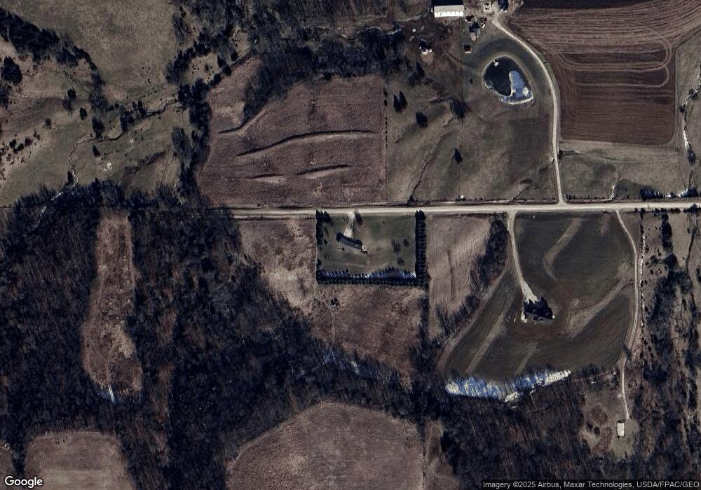
11025 275th St West Union, IA 52175
Estimated Value: $274,000 - $421,618
4
Beds
3
Baths
1,854
Sq Ft
$185/Sq Ft
Est. Value
About This Home
This home is located at 11025 275th St, West Union, IA 52175 and is currently estimated at $342,905, approximately $184 per square foot. 11025 275th St is a home located in Fayette County with nearby schools including North Fayette Valley Middle School and North Fayette Valley H. School.
Ownership History
Date
Name
Owned For
Owner Type
Purchase Details
Closed on
Jun 18, 2015
Sold by
Schweinefus Douglas and Schweinefus Shanna
Bought by
Mork Kevin L and Mork Kimberly A
Current Estimated Value
Home Financials for this Owner
Home Financials are based on the most recent Mortgage that was taken out on this home.
Original Mortgage
$60,000
Outstanding Balance
$41,057
Interest Rate
0.78%
Mortgage Type
Commercial
Estimated Equity
$301,848
Purchase Details
Closed on
Aug 23, 2007
Sold by
Wolfs Michael W and Wolfs Susan M
Bought by
Mork Kevin Lee and Mork Kimberly Ann
Home Financials for this Owner
Home Financials are based on the most recent Mortgage that was taken out on this home.
Original Mortgage
$400,000
Interest Rate
6.71%
Mortgage Type
New Conventional
Create a Home Valuation Report for This Property
The Home Valuation Report is an in-depth analysis detailing your home's value as well as a comparison with similar homes in the area
Home Values in the Area
Average Home Value in this Area
Purchase History
| Date | Buyer | Sale Price | Title Company |
|---|---|---|---|
| Mork Kevin L | $43,000 | None Available | |
| Mork Kevin Lee | $187,500 | None Available |
Source: Public Records
Mortgage History
| Date | Status | Borrower | Loan Amount |
|---|---|---|---|
| Open | Mork Kevin L | $60,000 | |
| Previous Owner | Mork Kevin Lee | $400,000 |
Source: Public Records
Tax History Compared to Growth
Tax History
| Year | Tax Paid | Tax Assessment Tax Assessment Total Assessment is a certain percentage of the fair market value that is determined by local assessors to be the total taxable value of land and additions on the property. | Land | Improvement |
|---|---|---|---|---|
| 2025 | $2,936 | $305,730 | $2,990 | $302,740 |
| 2024 | $2,936 | $270,470 | $2,380 | $268,090 |
| 2023 | $2,932 | $270,470 | $2,380 | $268,090 |
| 2022 | $2,632 | $216,430 | $1,880 | $214,550 |
| 2021 | $2,632 | $216,620 | $2,070 | $214,550 |
| 2020 | $2,524 | $198,860 | $1,950 | $196,910 |
| 2019 | $2,206 | $180,130 | $0 | $0 |
| 2018 | $2,160 | $180,130 | $0 | $0 |
| 2017 | $2,248 | $162,750 | $0 | $0 |
| 2016 | $2,196 | $162,750 | $0 | $0 |
| 2015 | $2,196 | $0 | $0 | $0 |
| 2014 | $2,540 | $0 | $0 | $0 |
Source: Public Records
Map
Nearby Homes
- 28882 Pine St
- 705 Iowa 150
- 107 Union Ridge Dr
- 110 Lilac Ave
- 14973 Nature Rd
- 304 Auburn St
- 701 Northwestern Ave
- 106 Jones St
- 601 Russell Ave
- 504 W Bradford St
- 206 W Maple St
- 119 N Wells St
- 326 E Elm St
- 313 W Elm St
- 310 W Plum St
- 306 W Plum St
- 217 S Walnut St
- TBD Lots 5&6 St
- 10290 Echo Valley Lot 2 Rd
- 115 S Main St