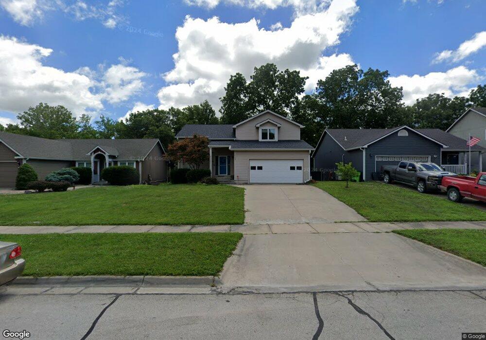
1103 Grove St Baldwin City, KS 66006
Estimated Value: $336,000 - $373,000
4
Beds
4
Baths
2,497
Sq Ft
$143/Sq Ft
Est. Value
About This Home
This home is located at 1103 Grove St, Baldwin City, KS 66006 and is currently estimated at $356,983, approximately $142 per square foot. 1103 Grove St is a home located in Douglas County with nearby schools including Baldwin Elementary Primary Center, Baldwin Elementary Intermediate Center, and Baldwin Junior High School.
Ownership History
Date
Name
Owned For
Owner Type
Purchase Details
Closed on
Aug 18, 2021
Sold by
Blanchat Amy Cherie and Blanchat Donald Ray
Bought by
Kretzschmer Matthew and Kretzschmer Ashley
Current Estimated Value
Home Financials for this Owner
Home Financials are based on the most recent Mortgage that was taken out on this home.
Original Mortgage
$212,000
Outstanding Balance
$192,483
Interest Rate
2.8%
Mortgage Type
New Conventional
Estimated Equity
$164,500
Purchase Details
Closed on
Aug 2, 2005
Sold by
Woods Andrew D and Woods Patricia H
Bought by
Blanchat Donald Ray and Blanchat Amy Cherie
Home Financials for this Owner
Home Financials are based on the most recent Mortgage that was taken out on this home.
Original Mortgage
$144,000
Interest Rate
5.65%
Mortgage Type
Fannie Mae Freddie Mac
Create a Home Valuation Report for This Property
The Home Valuation Report is an in-depth analysis detailing your home's value as well as a comparison with similar homes in the area
Home Values in the Area
Average Home Value in this Area
Purchase History
| Date | Buyer | Sale Price | Title Company |
|---|---|---|---|
| Kretzschmer Matthew | -- | Meridian Title Co | |
| Blanchat Donald Ray | -- | First American Title |
Source: Public Records
Mortgage History
| Date | Status | Borrower | Loan Amount |
|---|---|---|---|
| Open | Kretzschmer Matthew | $212,000 | |
| Previous Owner | Blanchat Donald Ray | $144,000 |
Source: Public Records
Tax History Compared to Growth
Tax History
| Year | Tax Paid | Tax Assessment Tax Assessment Total Assessment is a certain percentage of the fair market value that is determined by local assessors to be the total taxable value of land and additions on the property. | Land | Improvement |
|---|---|---|---|---|
| 2025 | $4,916 | $37,709 | $4,715 | $32,994 |
| 2024 | $4,916 | $35,087 | $3,450 | $31,637 |
| 2023 | $4,722 | $32,315 | $3,450 | $28,865 |
| 2022 | $4,586 | $30,475 | $3,450 | $27,025 |
| 2021 | $4,029 | $26,289 | $2,645 | $23,644 |
| 2020 | $3,782 | $24,488 | $2,645 | $21,843 |
| 2019 | $3,600 | $23,322 | $2,645 | $20,677 |
| 2018 | $3,632 | $23,138 | $2,415 | $20,723 |
| 2017 | $3,604 | $22,483 | $2,415 | $20,068 |
| 2016 | $3,336 | $21,206 | $2,415 | $18,791 |
| 2015 | -- | $20,735 | $2,415 | $18,320 |
| 2014 | -- | $20,010 | $2,415 | $17,595 |
Source: Public Records
Map
Nearby Homes
- 814 Indiana St
- 1019 8th St
- 1512 College St
- 703 Jersey St
- 1203 8th St
- 1115 7th St
- 80 E 1600 Rd
- 908 & 912 Orange St
- 702 Newton St
- 99 E 1600 Rd
- 99 E 1600 Rd Unit Parcel 4
- 1841 College St
- 1015 Firetree Ave
- 612 Flame Way
- 309 Washington St
- 311 Washington St
- 408 Eisenhower Rd
- 1752 N 300th Rd
- Lot 7 Block 2 Bluestem Dr
- Lot 6 Block 2 Bluestem Dr