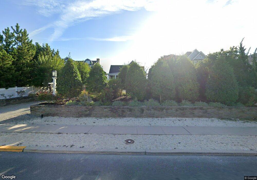
1103 Ocean Ave Mantoloking, NJ 08738
Estimated Value: $3,970,000 - $5,557,000
--
Bed
4
Baths
2,858
Sq Ft
$1,673/Sq Ft
Est. Value
About This Home
This home is located at 1103 Ocean Ave, Mantoloking, NJ 08738 and is currently estimated at $4,782,063, approximately $1,673 per square foot. 1103 Ocean Ave is a home located in Ocean County with nearby schools including G Harold Antrim Elementary School, Point Pleasant Beach High School, and St. Peter School.
Ownership History
Date
Name
Owned For
Owner Type
Purchase Details
Closed on
Mar 17, 2015
Sold by
Clifford Finkle L P
Bought by
The Borough Of Mantoloking
Current Estimated Value
Purchase Details
Closed on
May 19, 2014
Sold by
Burke Stephen E
Bought by
Bay Head Montoloking Land Co
Purchase Details
Closed on
Oct 8, 2012
Sold by
Ocean Avenue Of Mantoloking Limited Pa
Bought by
Clifford Finkle Limited Pa
Create a Home Valuation Report for This Property
The Home Valuation Report is an in-depth analysis detailing your home's value as well as a comparison with similar homes in the area
Home Values in the Area
Average Home Value in this Area
Purchase History
| Date | Buyer | Sale Price | Title Company |
|---|---|---|---|
| The Borough Of Mantoloking | -- | Attorney | |
| Bay Head Montoloking Land Co | -- | None Available | |
| Clifford Finkle Limited Pa | -- | None Available |
Source: Public Records
Tax History Compared to Growth
Tax History
| Year | Tax Paid | Tax Assessment Tax Assessment Total Assessment is a certain percentage of the fair market value that is determined by local assessors to be the total taxable value of land and additions on the property. | Land | Improvement |
|---|---|---|---|---|
| 2025 | $28,550 | $3,327,500 | $2,494,800 | $832,700 |
| 2024 | $27,152 | $3,327,500 | $2,494,800 | $832,700 |
| 2023 | $23,293 | $3,327,500 | $2,494,800 | $832,700 |
| 2022 | $23,293 | $3,327,500 | $2,494,800 | $832,700 |
| 2021 | $23,426 | $3,327,500 | $2,494,800 | $832,700 |
| 2020 | $23,692 | $3,327,500 | $2,494,800 | $832,700 |
| 2019 | $23,359 | $3,327,500 | $2,494,800 | $832,700 |
| 2018 | $22,796 | $3,294,200 | $2,494,800 | $799,400 |
| 2017 | $22,961 | $3,294,200 | $2,494,800 | $799,400 |
| 2016 | $22,862 | $3,294,200 | $2,494,800 | $799,400 |
| 2015 | $22,333 | $2,783,800 | $2,494,800 | $289,000 |
| 2014 | $17,454 | $2,783,800 | $2,494,800 | $289,000 |
Source: Public Records
Map
Nearby Homes
- 1097 Barnegat Ln
- 1201 Ocean Ave
- 1207 Ocean Ave
- 1063 Ocean Ave
- 1318 Ocean Ave
- 1027 Ocean Ave
- 982 Barnegat Ln
- 978 East Ave
- 954 Barnegat Ln
- 940 Barnegat Ln
- 1519 Runyon Ln
- 920 East Ave
- 122 Squan Beach Dr
- 767 East Ave
- 233 Curtis Point Dr
- 750 East Ave
- 776 South Dr
- 150 Sunset Ln
- 275 Curtis Point Dr
- 53 Driftwood Dr
- 1101 Ocean Ave
- 1107 Ocean Ave
- 1105 Ocean Ave
- 1099 Ocean Ave
- 1097 Ocean Ave
- 1109 Ocean Ave
- 1111 Ocean Ave
- 1101 Barnegat Ln
- 1103 Barnegat Ln
- 1095 Ocean Ave
- 1116 Ocean Ave
- 1095 Barnegat Ln
- 1105 Barnegat Ln
- 1093 Barnegat Ln
- 1107 Barnegat Ln
- 1093 Ocean Ave
- 1113 Ocean Ave
- 1091 Barnegat Ln
- 1108 Ocean Ave
- 1115 Ocean Ave