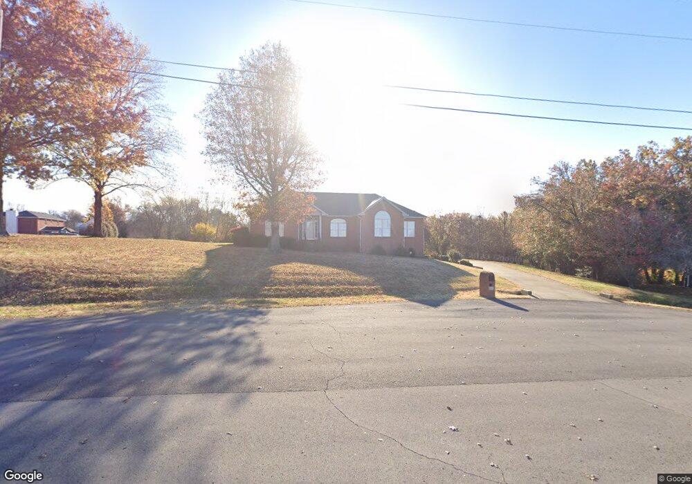
1103 Rue Joey Mount Juliet, TN 37122
Estimated Value: $544,280 - $736,000
--
Bed
3
Baths
2,745
Sq Ft
$234/Sq Ft
Est. Value
About This Home
This home is located at 1103 Rue Joey, Mount Juliet, TN 37122 and is currently estimated at $643,070, approximately $234 per square foot. 1103 Rue Joey is a home located in Wilson County with nearby schools including West Elementary School, West Wilson Middle School, and Mt. Juliet High School.
Ownership History
Date
Name
Owned For
Owner Type
Purchase Details
Closed on
Jul 16, 2001
Sold by
Do Theiu K and Do Lan N
Bought by
Norman George D
Current Estimated Value
Home Financials for this Owner
Home Financials are based on the most recent Mortgage that was taken out on this home.
Original Mortgage
$80,000
Interest Rate
7.08%
Purchase Details
Closed on
Mar 31, 1992
Bought by
Do Thieu K
Purchase Details
Closed on
Apr 4, 1904
Bought by
Robinson Dean Tr
Create a Home Valuation Report for This Property
The Home Valuation Report is an in-depth analysis detailing your home's value as well as a comparison with similar homes in the area
Home Values in the Area
Average Home Value in this Area
Purchase History
| Date | Buyer | Sale Price | Title Company |
|---|---|---|---|
| Norman George D | $235,000 | -- | |
| Do Thieu K | $15,000 | -- | |
| Robinson Dean Tr | -- | -- |
Source: Public Records
Mortgage History
| Date | Status | Borrower | Loan Amount |
|---|---|---|---|
| Closed | Robinson Dean Tr | $80,000 |
Source: Public Records
Tax History Compared to Growth
Tax History
| Year | Tax Paid | Tax Assessment Tax Assessment Total Assessment is a certain percentage of the fair market value that is determined by local assessors to be the total taxable value of land and additions on the property. | Land | Improvement |
|---|---|---|---|---|
| 2024 | $1,886 | $98,825 | $18,750 | $80,075 |
| 2022 | $1,763 | $92,350 | $18,750 | $73,600 |
| 2021 | $1,763 | $92,350 | $18,750 | $73,600 |
| 2020 | $1,776 | $92,350 | $18,750 | $73,600 |
| 2019 | $1,776 | $70,500 | $15,625 | $54,875 |
| 2018 | $1,776 | $70,500 | $15,625 | $54,875 |
| 2017 | $1,776 | $70,500 | $15,625 | $54,875 |
| 2016 | $1,776 | $70,500 | $15,625 | $54,875 |
| 2015 | $1,812 | $70,500 | $15,625 | $54,875 |
| 2014 | $1,615 | $62,827 | $0 | $0 |
Source: Public Records
Map
Nearby Homes
- 653 Terrace Hill Rd
- 905 Champions Cir
- 463 Wedge Way
- 907 Champions Cir
- 9298 Lebanon Rd
- 429 Tomlinson Pointe Dr
- 600 Southshore Point
- 1126 Aster Place
- 1125 Aster Place
- 1127 Aster Place
- 0 Canterbury Trail
- 624 Southshore Point
- 427 Tomlinson Pointe Dr
- 433 Tomlinson Pointe Dr
- 435 Tomlinson Pointe Dr
- 437 Tomlinson Pointe Dr
- 439 Tomlinson Pointe Dr
- 807 Silva Loop
- 443 Tomlinson Pointe Dr
- McCourt Plan at Tomlinson Pointe - Longford Collection
- 1102 Rue Joey
- 1001 Jo Anne Point
- 613 Cooks Hill Rd
- 1101 Rue Joey
- 1000 Jo Anne Point
- 617 Cooks Hill Rd
- 1002 Jo Anne Point
- 502 Adeles Gardens
- 504 Adeles Gardens
- 506 Adeles Gardens
- 614 Cooks Hill Rd
- 616 Cooks Hill Rd
- 1307 Teddys Place
- 1003 Jo Anne Point
- 1004 Jo Anne Point
- 619 Cooks Hill Rd
- 1309 Teddys Place
- 612 Cooks Hill Rd
- 1005 Jo Anne Point
- 508 Adeles Gardens