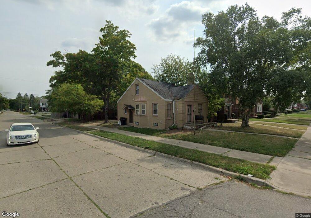
11032 Roxbury St Detroit, MI 48224
Denby NeighborhoodEstimated Value: $78,031 - $101,000
3
Beds
1
Bath
1,396
Sq Ft
$62/Sq Ft
Est. Value
About This Home
This home is located at 11032 Roxbury St, Detroit, MI 48224 and is currently estimated at $87,008, approximately $62 per square foot. 11032 Roxbury St is a home located in Wayne County with nearby schools including Wayne Elementary School, Edward 'Duke' Ellington Conservatory of Music and Art, and Charles L. Spain Elementary-Middle School.
Ownership History
Date
Name
Owned For
Owner Type
Purchase Details
Closed on
Nov 7, 2013
Sold by
Wayne County Treasurer
Bought by
Annointed Properties Llc
Current Estimated Value
Purchase Details
Closed on
Jun 6, 2009
Sold by
Scott Latarsha
Bought by
Womack Latessa
Purchase Details
Closed on
Oct 15, 2008
Sold by
Mack Yvonne and Mack Kenneth P
Bought by
Deutsche Bank National Trust Company
Purchase Details
Closed on
Oct 21, 2004
Sold by
Coleman Yvonne and Mack Yvonne
Bought by
Mack Yvonne
Create a Home Valuation Report for This Property
The Home Valuation Report is an in-depth analysis detailing your home's value as well as a comparison with similar homes in the area
Home Values in the Area
Average Home Value in this Area
Purchase History
| Date | Buyer | Sale Price | Title Company |
|---|---|---|---|
| Annointed Properties Llc | $5,400 | None Available | |
| Womack Latessa | -- | None Available | |
| Deutsche Bank National Trust Company | $101,644 | None Available | |
| Mack Yvonne | -- | Able Title Agency Llc |
Source: Public Records
Tax History Compared to Growth
Tax History
| Year | Tax Paid | Tax Assessment Tax Assessment Total Assessment is a certain percentage of the fair market value that is determined by local assessors to be the total taxable value of land and additions on the property. | Land | Improvement |
|---|---|---|---|---|
| 2025 | $1,214 | $35,000 | $0 | $0 |
| 2024 | $1,214 | $32,300 | $0 | $0 |
| 2023 | $1,178 | $26,000 | $0 | $0 |
| 2022 | $1,254 | $20,900 | $0 | $0 |
| 2021 | $1,221 | $16,900 | $0 | $0 |
| 2020 | $1,220 | $15,800 | $0 | $0 |
| 2019 | $1,202 | $14,000 | $0 | $0 |
| 2018 | $1,057 | $12,700 | $0 | $0 |
| 2017 | $197 | $10,400 | $0 | $0 |
| 2016 | $1,494 | $16,600 | $0 | $0 |
| 2015 | $1,660 | $16,600 | $0 | $0 |
| 2013 | $2,301 | $23,014 | $0 | $0 |
| 2010 | -- | $33,742 | $1,310 | $32,432 |
Source: Public Records
Map
Nearby Homes
- 10773 Beaconsfield St
- 11009 Roxbury St
- 10947 Roxbury St
- 10713 Beaconsfield St
- 11059 Lakepointe St
- 10817 Nottingham Rd
- 10811 Roxbury St
- 10823 Nottingham Rd
- 10597 Beaconsfield St
- 10612 Nottingham Rd
- 10851 Nottingham Rd
- 10857 Nottingham Rd
- 10551 Somerset Ave
- 10595 Somerset Ave
- 10818 Nottingham Rd
- 10897 Lakepointe St
- 10508 Nottingham Rd
- 10842 Nottingham Rd
- 11010 Rossiter St
- 10731 Somerset Ave
- 11026 Roxbury St
- 11018 Roxbury St
- 11100 Roxbury St
- 10821 Beaconsfield St
- 11012 Roxbury St
- 10835 Beaconsfield St
- 11112 Roxbury St
- 10811 Beaconsfield St
- 11120 Roxbury St
- 10901 Beaconsfield St
- 11035 Roxbury St
- 11025 Roxbury St
- 10797 Beaconsfield St
- 10994 Roxbury St
- 11015 Roxbury St
- 11128 Roxbury St
- 11101 Roxbury St
- 10917 Beaconsfield St
- 10990 Roxbury St
- 11111 Roxbury St