110351 Thunder Rd Scottsbluff, NE 69361
Estimated Value: $809,605 - $938,000
5
Beds
5
Baths
4,462
Sq Ft
$198/Sq Ft
Est. Value
About This Home
This home is located at 110351 Thunder Rd, Scottsbluff, NE 69361 and is currently estimated at $881,401, approximately $197 per square foot. 110351 Thunder Rd is a home located in Scotts Bluff County with nearby schools including Longfellow Elementary School, Bluffs Middle School, and Scottsbluff Senior High School.
Ownership History
Date
Name
Owned For
Owner Type
Purchase Details
Closed on
May 13, 2016
Sold by
Magana Armando J and Magana Kimberly A
Bought by
Mark Samuel B and Mark Reine S
Current Estimated Value
Home Financials for this Owner
Home Financials are based on the most recent Mortgage that was taken out on this home.
Original Mortgage
$417,000
Outstanding Balance
$331,093
Interest Rate
3.58%
Mortgage Type
New Conventional
Estimated Equity
$550,308
Create a Home Valuation Report for This Property
The Home Valuation Report is an in-depth analysis detailing your home's value as well as a comparison with similar homes in the area
Home Values in the Area
Average Home Value in this Area
Purchase History
| Date | Buyer | Sale Price | Title Company |
|---|---|---|---|
| Mark Samuel B | $570,000 | Ferguson Title Sevices Llc |
Source: Public Records
Mortgage History
| Date | Status | Borrower | Loan Amount |
|---|---|---|---|
| Open | Mark Samuel B | $417,000 |
Source: Public Records
Tax History Compared to Growth
Tax History
| Year | Tax Paid | Tax Assessment Tax Assessment Total Assessment is a certain percentage of the fair market value that is determined by local assessors to be the total taxable value of land and additions on the property. | Land | Improvement |
|---|---|---|---|---|
| 2024 | $7,972 | $750,375 | $31,600 | $718,775 |
| 2023 | $14,019 | $758,145 | $20,250 | $737,895 |
| 2022 | $14,019 | $758,145 | $20,250 | $737,895 |
| 2021 | $13,434 | $714,801 | $20,250 | $694,551 |
| 2020 | $12,459 | $658,510 | $20,250 | $638,260 |
| 2019 | $13,208 | $699,175 | $19,442 | $679,733 |
| 2018 | $12,682 | $666,807 | $19,442 | $647,365 |
| 2017 | $12,079 | $632,782 | $19,442 | $613,340 |
| 2016 | $10,894 | $570,000 | $19,442 | $550,558 |
| 2015 | $10,673 | $562,956 | $19,340 | $543,616 |
| 2014 | $9,038 | $512,990 | $18,794 | $494,196 |
| 2012 | -- | $497,866 | $18,064 | $479,802 |
Source: Public Records
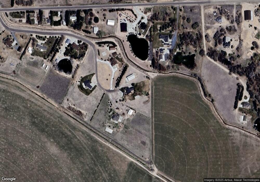
Map
Nearby Homes
- 250439 Highland Rd
- 240336 Highland Rd
- 3210 E 28th St
- 120050 County Road 28
- 120034 Weinreis Dr
- 1917 E 29th St
- 1624 15th Ave
- 230550 Cr J Unit 230540 CR J
- 60260 Nebraska 71
- 1523 Idlewylde Dr
- TBD Cr 25
- 3327 Lilac Dr
- 1615 8th Ave
- TBD E 27th St
- 1906 8th Ave
- 1621 7th Ave
- 1805 7th Ave
- 1512 7th Ave
- 1201 Larkspur Dr
- 1924 7th Ave
- 110350 Thunder Rd
- 110280 Thunder Rd
- 250545 Highland Rd
- 250371 Highland Rd
- 250301 Highland Rd
- Lot 1 Thunder Rd
- 110138 Thunder Rd
- 250275 Highland Rd
- 250247 Highland Rd
- 250681 Highland Rd
- 110179 Robin Ln
- 250215 Highland Rd
- 110066 Thunder Rd
- 250733 Highland Rd
- 250056 Murphy Dr
- 250805 Highland Rd
- 250170 Highland Rd
- 250166 Highland Rd
- 110218 County Road 26
- 250080 Highland Rd