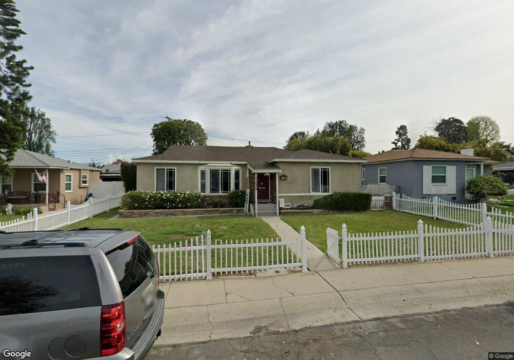
11039 Howard St Whittier, CA 90606
West Whittier NeighborhoodEstimated Value: $749,111 - $816,000
2
Beds
2
Baths
1,135
Sq Ft
$689/Sq Ft
Est. Value
About This Home
This home is located at 11039 Howard St, Whittier, CA 90606 and is currently estimated at $781,778, approximately $688 per square foot. 11039 Howard St is a home located in Los Angeles County with nearby schools including Longfellow Elementary School, Walter F. Dexter Middle School, and Whittier High School.
Ownership History
Date
Name
Owned For
Owner Type
Purchase Details
Closed on
Dec 10, 2010
Sold by
Espinoza Steven R
Bought by
Espinoza Steven R and Sunset 2010 Trust
Current Estimated Value
Purchase Details
Closed on
Apr 27, 2000
Sold by
Holman Phillip J and Estate Of Joan Schuman
Bought by
Espinoza Steven
Home Financials for this Owner
Home Financials are based on the most recent Mortgage that was taken out on this home.
Original Mortgage
$158,000
Interest Rate
8.27%
Create a Home Valuation Report for This Property
The Home Valuation Report is an in-depth analysis detailing your home's value as well as a comparison with similar homes in the area
Home Values in the Area
Average Home Value in this Area
Purchase History
| Date | Buyer | Sale Price | Title Company |
|---|---|---|---|
| Espinoza Steven R | -- | None Available | |
| Espinoza Steven | $176,000 | First American Title Co |
Source: Public Records
Mortgage History
| Date | Status | Borrower | Loan Amount |
|---|---|---|---|
| Previous Owner | Espinoza Steven | $158,000 |
Source: Public Records
Tax History
| Year | Tax Paid | Tax Assessment Tax Assessment Total Assessment is a certain percentage of the fair market value that is determined by local assessors to be the total taxable value of land and additions on the property. | Land | Improvement |
|---|---|---|---|---|
| 2025 | $3,614 | $270,483 | $178,278 | $92,205 |
| 2024 | $3,614 | $265,181 | $174,783 | $90,398 |
| 2023 | $3,617 | $259,982 | $171,356 | $88,626 |
| 2022 | $3,611 | $254,886 | $167,997 | $86,889 |
| 2021 | $3,454 | $249,889 | $164,703 | $85,186 |
| 2019 | $3,439 | $242,479 | $159,819 | $82,660 |
| 2018 | $3,318 | $237,726 | $156,686 | $81,040 |
| 2016 | $3,111 | $228,496 | $150,602 | $77,894 |
| 2015 | $3,033 | $225,064 | $148,340 | $76,724 |
| 2014 | $2,949 | $220,657 | $145,435 | $75,222 |
Source: Public Records
Map
Nearby Homes
- 11141 Dorland St
- 5915 Morrill Ave
- 10853 Glencannon Dr
- 10608 Whittier Blvd
- 5903 Redman Ave
- 6260 Western Ave
- 5518 Rockne Ave
- 6350 Court Ave
- 5422 Carley Ave
- 10602 Monaco Ct
- 5315 Bihr Ct
- 5235 Andalucia Ct
- 11730 Whittier Blvd Unit 63
- 11730 Whittier Blvd Unit 27
- 11730 Whittier Blvd Unit 39
- 11730 Whittier Blvd Unit 55
- 11730 Whittier Blvd Unit 54
- 5729 Juarez Ave
- 10512 Rose Hedge Dr
- 5593 Pioneer Blvd Unit 18
- 11045 Howard St
- 11033 Howard St
- 11027 Howard St
- 11038 Orange Dr
- 11044 Orange Dr
- 11032 Orange Dr
- 11040 Howard St
- 11034 Howard St
- 11105 Howard St
- 11026 Orange Dr
- 11028 Howard St
- 11011 Howard St
- 11102 Orange Dr
- 11015 Howard St
- 11020 Orange Dr
- 11022 Howard St
- 11102 Howard St
- 11113 Howard St
- 11014 Orange Dr
- 11108 Howard St
Your Personal Tour Guide
Ask me questions while you tour the home.