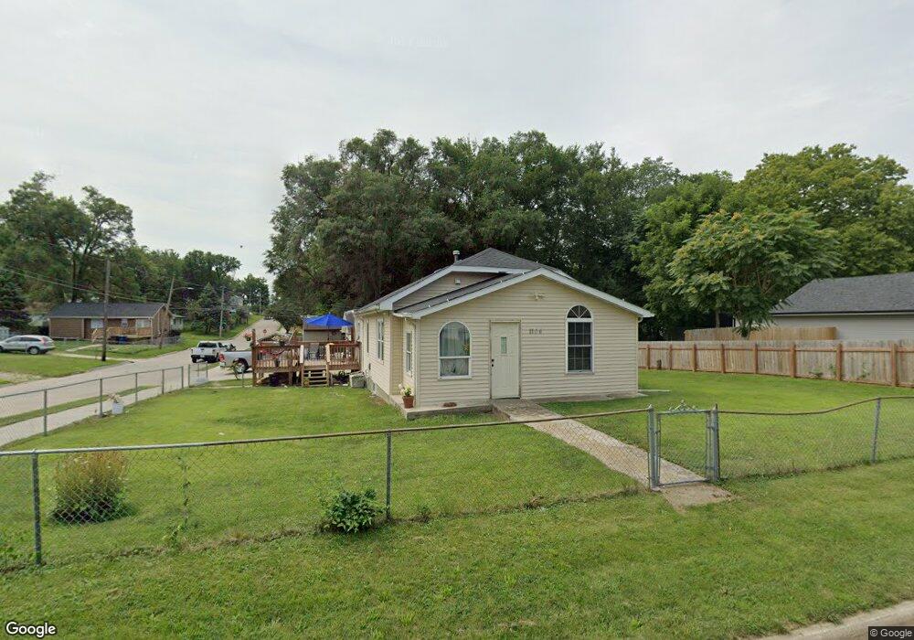
1104 Burnham Ave Des Moines, IA 50315
Watrous South NeighborhoodEstimated Value: $164,000 - $183,000
2
Beds
1
Bath
960
Sq Ft
$183/Sq Ft
Est. Value
About This Home
This home is located at 1104 Burnham Ave, Des Moines, IA 50315 and is currently estimated at $175,735, approximately $183 per square foot. 1104 Burnham Ave is a home located in Polk County with nearby schools including Morris Elementary School, Mccombs Middle School, and Lincoln High School.
Ownership History
Date
Name
Owned For
Owner Type
Purchase Details
Closed on
Sep 12, 2018
Sold by
Ramirez Juan and Ramires Jaun
Bought by
Ramirez Juan and Rios Maricela
Current Estimated Value
Purchase Details
Closed on
Jul 5, 2003
Sold by
Fry Cheryl Lynn and Ohollearn Ellen Kay
Bought by
Ramirez Juan and Ramirez Jaun
Home Financials for this Owner
Home Financials are based on the most recent Mortgage that was taken out on this home.
Original Mortgage
$10,000
Interest Rate
8%
Mortgage Type
Land Contract Argmt. Of Sale
Purchase Details
Closed on
May 10, 2003
Sold by
Fry Cheryl Lynn and Ohollearn Ellen Kay
Bought by
Ramirez Jaun
Home Financials for this Owner
Home Financials are based on the most recent Mortgage that was taken out on this home.
Original Mortgage
$10,000
Interest Rate
8%
Mortgage Type
Land Contract Argmt. Of Sale
Create a Home Valuation Report for This Property
The Home Valuation Report is an in-depth analysis detailing your home's value as well as a comparison with similar homes in the area
Home Values in the Area
Average Home Value in this Area
Purchase History
| Date | Buyer | Sale Price | Title Company |
|---|---|---|---|
| Ramirez Juan | -- | None Available | |
| Ramirez Juan | $19,500 | -- | |
| Ramirez Jaun | $20,000 | -- |
Source: Public Records
Mortgage History
| Date | Status | Borrower | Loan Amount |
|---|---|---|---|
| Previous Owner | Ramirez Jaun | $10,000 |
Source: Public Records
Tax History
| Year | Tax Paid | Tax Assessment Tax Assessment Total Assessment is a certain percentage of the fair market value that is determined by local assessors to be the total taxable value of land and additions on the property. | Land | Improvement |
|---|---|---|---|---|
| 2025 | $2,712 | $166,700 | $31,100 | $135,600 |
| 2024 | $2,712 | $148,300 | $27,200 | $121,100 |
| 2023 | $2,522 | $148,300 | $27,200 | $121,100 |
| 2022 | $2,502 | $115,900 | $22,300 | $93,600 |
| 2021 | $2,294 | $115,900 | $22,300 | $93,600 |
| 2020 | $2,378 | $100,500 | $19,200 | $81,300 |
| 2019 | $2,220 | $100,500 | $19,200 | $81,300 |
| 2018 | $1,790 | $91,100 | $17,100 | $74,000 |
| 2017 | $1,760 | $76,000 | $17,100 | $58,900 |
| 2016 | $1,358 | $73,600 | $16,200 | $57,400 |
| 2015 | $1,358 | $73,600 | $16,200 | $57,400 |
| 2014 | $1,420 | $75,500 | $16,200 | $59,300 |
Source: Public Records
Map
Nearby Homes
- 1110 Johnson St
- 1208 Burnham Ave
- 1315 Johnson St
- 1225 West St
- 1352 Johnson St
- 1014 Leland Ave
- 6825 SW 15th St
- 1324 Army Post Rd
- 7307 SW 13th St
- 6824 SW 15th St
- 7400 SW 12th St
- 6912 SW 15th St
- 6905 SW 16th St
- 1310 Leland Ave
- 919 Randolph St
- 603 Lally St
- 7300 SW 15th St
- 6001 SW 13th Place
- 700 Payton Ave
- 5915 SW 12th St
- 1108 Burnham Ave
- 1026 Burnham Ave
- 1101 Rittenhouse St
- 1103 Rittenhouse St
- 1112 Burnham Ave
- 1107 Rittenhouse St
- 1019 Rittenhouse St
- 6710 SW 11th St
- 1029 Burnham Ave
- 1105 Burnham Ave
- 1022 Burnham Ave
- 1114 Burnham Ave
- 1109 Rittenhouse St
- 1023 Burnham Ave
- 1015 Rittenhouse St
- 1107 Burnham Ave
- 1019 Burnham Ave
- 1012 Burnham Ave
- 1111 Rittenhouse St
- 1116 Burnham Ave
Your Personal Tour Guide
Ask me questions while you tour the home.