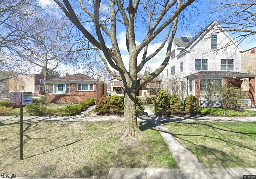
1104 Dewey Ave Evanston, IL 60202
West Village NeighborhoodEstimated Value: $397,000 - $538,000
3
Beds
2
Baths
931
Sq Ft
$498/Sq Ft
Est. Value
About This Home
This home is located at 1104 Dewey Ave, Evanston, IL 60202 and is currently estimated at $463,932, approximately $498 per square foot. 1104 Dewey Ave is a home located in Cook County with nearby schools including Nichols Middle School, Evanston Township High School, and Pope John XXIII School.
Ownership History
Date
Name
Owned For
Owner Type
Purchase Details
Closed on
Feb 22, 2022
Sold by
Daye Ulricks E and Daye Y
Bought by
Daye Ulricks E and Daye Gerda
Current Estimated Value
Purchase Details
Closed on
Jan 22, 2022
Sold by
Daye Ulricks E and Daye Gerda
Bought by
Daye Ulricks E and Daye Y
Purchase Details
Closed on
Apr 23, 1998
Sold by
Bank One Trust Company Na
Bought by
Daye Ulricks E and Daye Gerda
Home Financials for this Owner
Home Financials are based on the most recent Mortgage that was taken out on this home.
Original Mortgage
$148,350
Interest Rate
7.18%
Mortgage Type
FHA
Create a Home Valuation Report for This Property
The Home Valuation Report is an in-depth analysis detailing your home's value as well as a comparison with similar homes in the area
Home Values in the Area
Average Home Value in this Area
Purchase History
| Date | Buyer | Sale Price | Title Company |
|---|---|---|---|
| Daye Ulricks E | -- | -- | |
| Daye Ulricks E | -- | -- | |
| Daye Ulricks E | -- | -- | |
| Daye Ulricks E | $151,500 | First American Title |
Source: Public Records
Mortgage History
| Date | Status | Borrower | Loan Amount |
|---|---|---|---|
| Previous Owner | Daye Ulricks E | $148,350 |
Source: Public Records
Tax History
| Year | Tax Paid | Tax Assessment Tax Assessment Total Assessment is a certain percentage of the fair market value that is determined by local assessors to be the total taxable value of land and additions on the property. | Land | Improvement |
|---|---|---|---|---|
| 2025 | $7,912 | $40,000 | $11,494 | $28,506 |
| 2024 | $7,912 | $36,001 | $9,623 | $26,378 |
| 2023 | $7,568 | $36,001 | $9,623 | $26,378 |
| 2022 | $7,568 | $36,001 | $9,623 | $26,378 |
| 2021 | $8,019 | $33,546 | $6,415 | $27,131 |
| 2020 | $7,971 | $33,546 | $6,415 | $27,131 |
| 2019 | $7,949 | $37,357 | $6,415 | $30,942 |
| 2018 | $8,938 | $36,060 | $5,346 | $30,714 |
| 2017 | $9,387 | $38,558 | $5,346 | $33,212 |
| 2016 | $9,126 | $38,558 | $5,346 | $33,212 |
| 2015 | $6,448 | $26,672 | $4,410 | $22,262 |
| 2014 | $6,401 | $26,672 | $4,410 | $22,262 |
| 2013 | $6,238 | $26,672 | $4,410 | $22,262 |
Source: Public Records
Map
Nearby Homes
- 1042 Dewey Ave
- 1133 Dodge Ave
- 1037 Dodge Ave
- 1213 Darrow Ave
- 1205 Dodge Ave Unit 1205DODG
- 920 Dodge Ave
- 1025 Wesley Ave
- 1003 Wesley Ave
- 1810 Washington St
- 826 Brown Ave
- 1520 Washington St
- 1120 Pitner Ave
- 1315 Asbury Ave Unit 5
- 1126 Pitner Ave
- 1314 Main St Unit 2D
- 1460 Dewey Ave
- 1232 Ridge Ave
- 1321 Pitner Ave Unit A
- 2321 Lee St
- 1515 Monroe St Unit A
- 1106 Dewey Ave
- 1100 Dewey Ave
- 1110 Dewey Ave
- 1717 Greenleaf St
- 1044 Dewey Ave
- 1116 Dewey Ave
- 1111 Dewey Ave Unit 2
- 1111 Dewey Ave
- 1109 Darrow Ave
- 1111 Darrow Ave
- 1623 Greenleaf St
- 1623 Greenleaf St Unit 1
- 1623 Greenleaf St Unit 2
- 1115 Darrow Ave
- 1122 Dewey Ave
- 1047 Darrow Ave
- 1727 Greenleaf St
- 1047 Dewey Ave
- 1117 Darrow Ave
- 1038 Dewey Ave
Your Personal Tour Guide
Ask me questions while you tour the home.