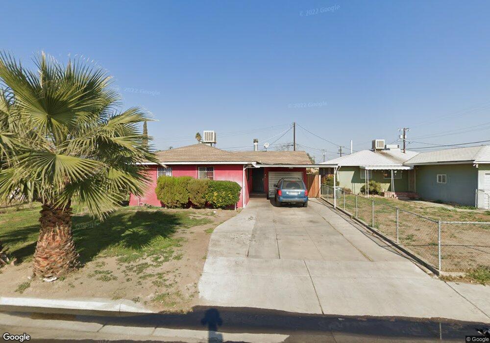
1104 Dorian Dr Bakersfield, CA 93304
Wible Orchard NeighborhoodEstimated Value: $291,145 - $327,000
3
Beds
2
Baths
1,290
Sq Ft
$239/Sq Ft
Est. Value
About This Home
This home is located at 1104 Dorian Dr, Bakersfield, CA 93304 and is currently estimated at $308,286, approximately $238 per square foot. 1104 Dorian Dr is a home located in Kern County with nearby schools including Frank West Elementary School, Curran Middle School, and South High School.
Ownership History
Date
Name
Owned For
Owner Type
Purchase Details
Closed on
Apr 22, 2025
Sold by
Avila Pedro Gonzalo and Avila Marta
Bought by
Avila Family Trust and Avila
Current Estimated Value
Purchase Details
Closed on
Apr 9, 2007
Sold by
A & F Investors Llc
Bought by
Avila Pedro G
Purchase Details
Closed on
Jul 26, 2005
Sold by
Avila Marta
Bought by
A & F Investors Llc
Purchase Details
Closed on
Sep 30, 2004
Sold by
Avila Pedro Gonzalo
Bought by
Avila Martha
Home Financials for this Owner
Home Financials are based on the most recent Mortgage that was taken out on this home.
Original Mortgage
$119,750
Interest Rate
6.99%
Mortgage Type
Purchase Money Mortgage
Purchase Details
Closed on
Sep 10, 2004
Sold by
Blevins Pamela Lynn
Bought by
Avila Marta
Home Financials for this Owner
Home Financials are based on the most recent Mortgage that was taken out on this home.
Original Mortgage
$119,750
Interest Rate
6.99%
Mortgage Type
Purchase Money Mortgage
Create a Home Valuation Report for This Property
The Home Valuation Report is an in-depth analysis detailing your home's value as well as a comparison with similar homes in the area
Home Values in the Area
Average Home Value in this Area
Purchase History
| Date | Buyer | Sale Price | Title Company |
|---|---|---|---|
| Avila Family Trust | -- | None Listed On Document | |
| Avila Pedro G | -- | None Available | |
| A & F Investors Llc | -- | -- | |
| Avila Martha | -- | Ticor Title | |
| Avila Marta | $150,000 | Ticor Title |
Source: Public Records
Mortgage History
| Date | Status | Borrower | Loan Amount |
|---|---|---|---|
| Previous Owner | Avila Marta | $119,750 |
Source: Public Records
Tax History
| Year | Tax Paid | Tax Assessment Tax Assessment Total Assessment is a certain percentage of the fair market value that is determined by local assessors to be the total taxable value of land and additions on the property. | Land | Improvement |
|---|---|---|---|---|
| 2025 | $3,655 | $255,532 | $81,986 | $173,546 |
| 2024 | $3,655 | $250,523 | $80,379 | $170,144 |
| 2023 | $3,580 | $245,611 | $78,803 | $166,808 |
| 2022 | $2,783 | $180,000 | $45,000 | $135,000 |
| 2021 | $2,629 | $173,000 | $43,000 | $130,000 |
| 2020 | $2,468 | $161,000 | $40,000 | $121,000 |
| 2019 | $2,301 | $148,000 | $37,000 | $111,000 |
| 2018 | $2,188 | $140,000 | $35,000 | $105,000 |
| 2017 | $2,050 | $127,000 | $32,000 | $95,000 |
| 2016 | $1,894 | $125,000 | $31,000 | $94,000 |
| 2015 | $1,528 | $92,000 | $23,000 | $69,000 |
| 2014 | $1,500 | $92,000 | $23,000 | $69,000 |
Source: Public Records
Map
Nearby Homes
- 2709 Laurel Dr
- 1312 Dorian Dr
- 1208 Lindsay Dr
- 2709 Lee Dr
- 2612 Lee Dr
- 2222 S Chester Ave
- 935 Sylvia Dr
- 2909 S Chester Ave
- 2120 S M St
- 2709 Dore Dr
- 2323 S J St
- 1016 Meredith Dr
- 1108 Southgate Dr
- 1605 Sidney Dr
- 3000 S Chester Ave Unit SPC 46
- 3000 S Chester Ave Unit 12
- 3000 S Chester Ave Unit 53
- 3000 S Chester Ave Unit 104
- 3201 Parkland Ct
- 1017 Curtis Dr
- 1108 Dorian Dr
- 1100 Dorian Dr
- 1112 Dorian Dr
- 1101 Antonia Way
- 1109 Dorian Dr
- 1100 Antonia Way
- 1116 Dorian Dr
- 2525 S Chester Ave
- 1105 Antonia Way
- 2601 Laurel Dr
- 2604 Laurel Dr
- 1120 Dorian Dr
- 1109 Antonia Way
- 2605 Laurel Dr
- 2600 S M St
- 2608 Laurel Dr
- 1104 Antonia Way
- 2519 S Chester Ave
- 2609 Laurel Dr
- 2604 S M St
Your Personal Tour Guide
Ask me questions while you tour the home.