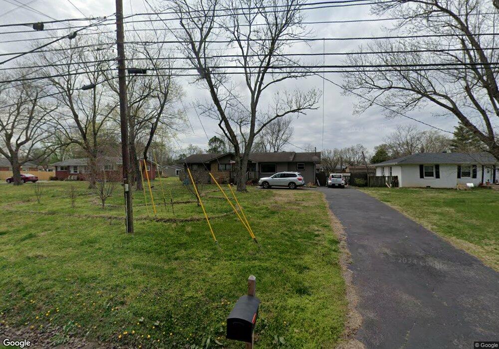
1104 Sam Davis Rd Smyrna, TN 37167
Estimated Value: $369,147 - $417,000
--
Bed
2
Baths
2,682
Sq Ft
$150/Sq Ft
Est. Value
About This Home
This home is located at 1104 Sam Davis Rd, Smyrna, TN 37167 and is currently estimated at $402,537, approximately $150 per square foot. 1104 Sam Davis Rd is a home located in Rutherford County with nearby schools including Smyrna Elementary School, Smyrna Middle School, and Smyrna High School.
Ownership History
Date
Name
Owned For
Owner Type
Purchase Details
Closed on
Oct 2, 2009
Sold by
Miller Carrie E P
Bought by
Lastfogel Max D
Current Estimated Value
Purchase Details
Closed on
Oct 5, 1995
Sold by
Sec Of Hud
Bought by
Miller Carrie E P
Purchase Details
Closed on
Jun 12, 1995
Sold by
Atkin Kenneth W
Bought by
Sec Of Hud
Purchase Details
Closed on
Apr 5, 1995
Sold by
Atkin Kenneth W
Bought by
Pnc Bank Kentucky Inc
Create a Home Valuation Report for This Property
The Home Valuation Report is an in-depth analysis detailing your home's value as well as a comparison with similar homes in the area
Home Values in the Area
Average Home Value in this Area
Purchase History
| Date | Buyer | Sale Price | Title Company |
|---|---|---|---|
| Lastfogel Max D | -- | -- | |
| Miller Carrie E P | $73,000 | -- | |
| Sec Of Hud | -- | -- | |
| Pnc Bank Kentucky Inc | $72,472 | -- |
Source: Public Records
Tax History Compared to Growth
Tax History
| Year | Tax Paid | Tax Assessment Tax Assessment Total Assessment is a certain percentage of the fair market value that is determined by local assessors to be the total taxable value of land and additions on the property. | Land | Improvement |
|---|---|---|---|---|
| 2025 | $2,185 | $90,975 | $13,750 | $77,225 |
| 2024 | $2,185 | $90,975 | $13,750 | $77,225 |
| 2023 | $2,185 | $90,975 | $13,750 | $77,225 |
| 2022 | $1,948 | $90,975 | $13,750 | $77,225 |
| 2021 | $1,884 | $64,525 | $8,750 | $55,775 |
| 2020 | $1,884 | $64,525 | $8,750 | $55,775 |
| 2019 | $1,884 | $64,525 | $8,750 | $55,775 |
| 2018 | $1,807 | $64,525 | $0 | $0 |
| 2017 | $1,520 | $42,650 | $0 | $0 |
| 2016 | $1,520 | $42,650 | $0 | $0 |
| 2015 | $1,520 | $42,650 | $0 | $0 |
| 2014 | $1,061 | $42,650 | $0 | $0 |
| 2013 | -- | $39,325 | $0 | $0 |
Source: Public Records
Map
Nearby Homes
- 402 Holston Dr
- 512 Holston Dr
- 111 Brandon Trail
- 380 Sam Davis Rd
- 401 Ravencliff Ct
- 307 Dartford Ct
- 203 S Lowry St
- 1655 Ben Johns Rd
- 313 Mayfield Dr
- 0 E Gresham Dr
- 100 Halfrunner Way Unit 1
- 102 Halfrunner Way Unit 2
- 104 Halfrunner Way Unit 3
- 106 Halfrunner Way Unit 4
- 314 Lake Farm Rd
- 415 Lawson Rd
- 104 Belaire Dr
- 400 Highland Ave
- 416 Lawson Rd
- 104 Pleasant Dr
- 1102 Sam Davis Rd
- 1106 Sam Davis Rd
- 102 Cumberland Dr
- 1100 Sam Davis Rd
- 102 Holston Dr
- 1108 Sam Davis Rd
- 104 Cumberland Dr
- 103 Clinch Dr
- 1103 Sam Davis Rd
- 1006 Sam Davis Rd
- 101 Cumberland Dr
- 202 Cumberland Dr
- 103 Cumberland Dr
- 102 Clinch Dr
- 104 Clinch Dr
- 103 Holston Dr
- 1004 Sam Davis Rd
- 105 Cumberland Dr
- 204 Cumberland Dr
- 100 Mingle Ln
