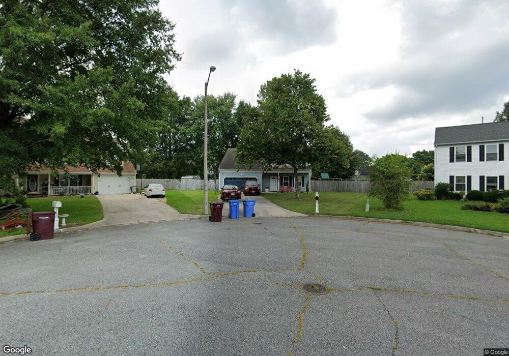
1104 Sherborn Trace Chesapeake, VA 23322
Pleasant Grove West NeighborhoodEstimated Value: $510,000 - $547,000
4
Beds
3
Baths
2,110
Sq Ft
$249/Sq Ft
Est. Value
About This Home
This home is located at 1104 Sherborn Trace, Chesapeake, VA 23322 and is currently estimated at $526,428, approximately $249 per square foot. 1104 Sherborn Trace is a home located in Chesapeake City with nearby schools including Southeastern Elementary School, Hickory Middle School, and Hickory High School.
Ownership History
Date
Name
Owned For
Owner Type
Purchase Details
Closed on
Jan 27, 2010
Sold by
Smith Richard L
Bought by
Zwieg Ronald L
Current Estimated Value
Home Financials for this Owner
Home Financials are based on the most recent Mortgage that was taken out on this home.
Original Mortgage
$296,235
Outstanding Balance
$195,271
Interest Rate
4.95%
Mortgage Type
VA
Estimated Equity
$331,157
Purchase Details
Closed on
Nov 15, 2001
Sold by
Mcalliste Antonio Maurice
Bought by
Smith Richard L
Home Financials for this Owner
Home Financials are based on the most recent Mortgage that was taken out on this home.
Original Mortgage
$168,300
Interest Rate
7.04%
Mortgage Type
VA
Create a Home Valuation Report for This Property
The Home Valuation Report is an in-depth analysis detailing your home's value as well as a comparison with similar homes in the area
Home Values in the Area
Average Home Value in this Area
Purchase History
| Date | Buyer | Sale Price | Title Company |
|---|---|---|---|
| Zwieg Ronald L | $290,000 | -- | |
| Smith Richard L | $165,000 | -- |
Source: Public Records
Mortgage History
| Date | Status | Borrower | Loan Amount |
|---|---|---|---|
| Open | Zwieg Ronald L | $296,235 | |
| Previous Owner | Smith Richard L | $168,300 |
Source: Public Records
Tax History
| Year | Tax Paid | Tax Assessment Tax Assessment Total Assessment is a certain percentage of the fair market value that is determined by local assessors to be the total taxable value of land and additions on the property. | Land | Improvement |
|---|---|---|---|---|
| 2025 | $4,435 | $453,000 | $185,000 | $268,000 |
| 2024 | $4,435 | $439,100 | $185,000 | $254,100 |
| 2023 | $4,276 | $423,400 | $175,000 | $248,400 |
| 2022 | $3,874 | $383,600 | $150,000 | $233,600 |
| 2021 | $3,469 | $330,400 | $135,000 | $195,400 |
| 2020 | $3,377 | $321,600 | $125,000 | $196,600 |
| 2019 | $3,377 | $321,600 | $125,000 | $196,600 |
| 2018 | $3,298 | $305,900 | $125,000 | $180,900 |
| 2017 | $3,212 | $305,900 | $125,000 | $180,900 |
| 2016 | $3,051 | $290,600 | $115,000 | $175,600 |
| 2015 | $2,946 | $280,600 | $105,000 | $175,600 |
| 2014 | $2,893 | $275,500 | $105,000 | $170,500 |
Source: Public Records
Map
Nearby Homes
- 617 Chelsea Ln
- 1208 Treeland Terrace
- 625 Marston Dr
- 712 Waterstock Ct
- 1112 Marston Dr
- 810 Brookside Arch
- 600 Gloria Dr
- 1108 Shifford Ln
- 815 Brookside Arch
- 821 Baydon Ln
- 813 Bellingham Dr
- 718 Beckley Ln
- 929 Brandermill Dr
- 381 Etheridge Rd
- 1101 Somerton Ln
- 1327 Laurel Ridge Ln
- 529 Fordsmere Rd
- 905 Thistle Ct
- 313 Sweetbay Dr
- 179 Hessian Loop
- 1108 Sherborn Trace
- 1100 Sherborn Trace
- 1205 Villa Ct
- 1101 Sherborn Trace
- 1112 Sherborn Trace
- 1204 Villa Ct
- 715 Villa Dr
- 1105 Sherborn Trace
- 1109 Sherborn Trace
- 1233 Fernham Ln
- 1237 Fernham Ln
- 1229 Fernham Ln
- 1114 Sherborn Trace
- 721 Villa Dr
- 1200 Villa Ct
- 1241 Fernham Ln
- 1225 Fernham Ln
- 1113 Sherborn Trace
- 1113 Sherborn Trace Unit Trc
- 725 Villa Dr
Your Personal Tour Guide
Ask me questions while you tour the home.