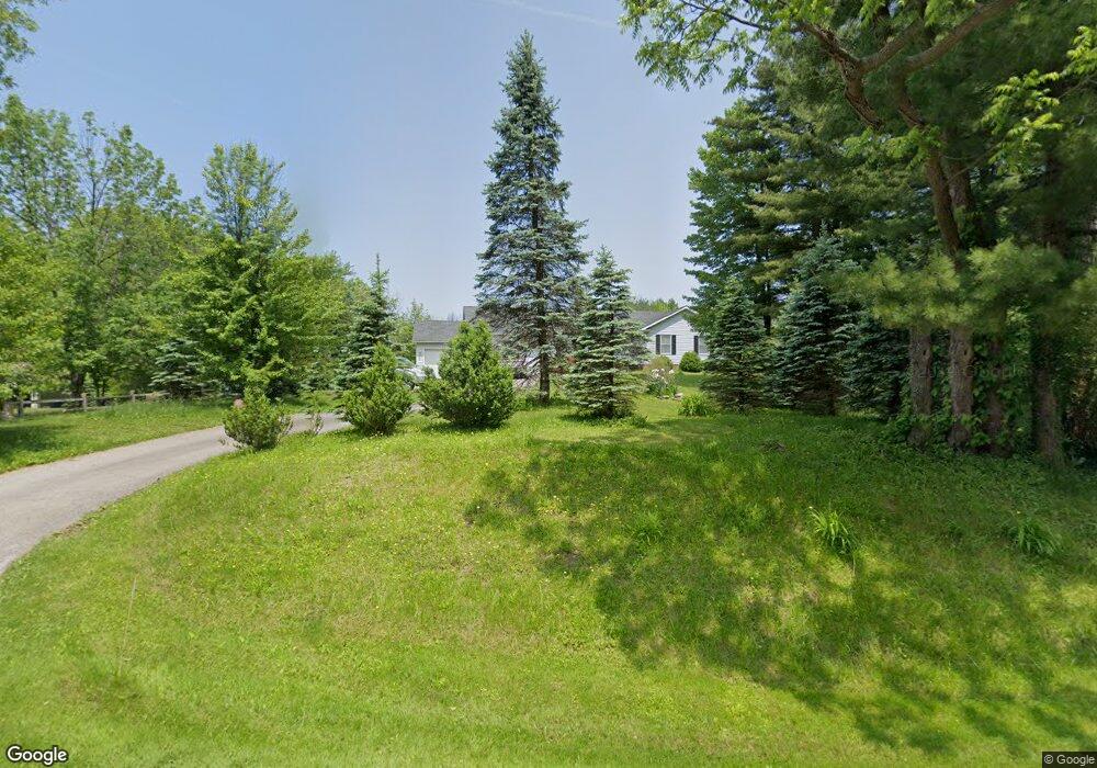
11040 Butternut Rd Chesterland, OH 44026
Estimated Value: $346,000 - $415,000
3
Beds
3
Baths
2,144
Sq Ft
$180/Sq Ft
Est. Value
About This Home
This home is located at 11040 Butternut Rd, Chesterland, OH 44026 and is currently estimated at $384,877, approximately $179 per square foot. 11040 Butternut Rd is a home located in Geauga County with nearby schools including Chardon High School, Notre Dame Elementary School, and St Helen Elementary School.
Ownership History
Date
Name
Owned For
Owner Type
Purchase Details
Closed on
Feb 23, 2018
Sold by
Marshall Dale
Bought by
Marshall Dale W and The Dale W Marshall Revocable
Current Estimated Value
Purchase Details
Closed on
Jun 27, 1990
Bought by
Schwendeman Rita M
Create a Home Valuation Report for This Property
The Home Valuation Report is an in-depth analysis detailing your home's value as well as a comparison with similar homes in the area
Home Values in the Area
Average Home Value in this Area
Purchase History
| Date | Buyer | Sale Price | Title Company |
|---|---|---|---|
| Marshall Dale W | -- | None Available | |
| Schwendeman Rita M | $122,000 | -- |
Source: Public Records
Tax History Compared to Growth
Tax History
| Year | Tax Paid | Tax Assessment Tax Assessment Total Assessment is a certain percentage of the fair market value that is determined by local assessors to be the total taxable value of land and additions on the property. | Land | Improvement |
|---|---|---|---|---|
| 2024 | $5,656 | $115,870 | $16,190 | $99,680 |
| 2023 | $5,656 | $117,320 | $17,640 | $99,680 |
| 2022 | $4,920 | $86,590 | $14,630 | $71,960 |
| 2021 | $4,898 | $86,590 | $14,630 | $71,960 |
| 2020 | $4,934 | $86,590 | $14,630 | $71,960 |
| 2019 | $44 | $76,650 | $14,630 | $62,020 |
| 2018 | $4,726 | $76,650 | $14,630 | $62,020 |
| 2017 | $4,426 | $76,650 | $14,630 | $62,020 |
| 2016 | $4,413 | $74,550 | $14,630 | $59,920 |
| 2015 | $4,155 | $74,550 | $14,630 | $59,920 |
| 2014 | $4,155 | $74,550 | $14,630 | $59,920 |
| 2013 | $4,182 | $74,550 | $14,630 | $59,920 |
Source: Public Records
Map
Nearby Homes
- 13410 Auburn Rd
- 13559 Auburn Rd
- 11155 Butternut Rd
- 13190 N Bridle Trail
- S/L 19 Sutton Place
- 13044 Coachman Dr
- 13228 Boulder Glen Dr
- 11375 Bean Rd
- 11710 Butternut Rd
- 11100 Pekin Rd
- 11235 Pekin Rd
- 10571 Mayfield Rd
- 10263 Wye Rd
- 11700 Pekin Rd
- 12386 Auburn Rd
- 14255 Bass Lake Rd
- 14380 Bass Lake Rd
- 14646 Dora Dr
- 14606 Castlewood Dr
- 13015 Frazier Dr
- 11022 Butternut Rd
- 13384 Auburn Rd
- 11021 Butternut Rd
- 13396 Auburn Rd
- 11002 Butternut Rd
- 0 Auburn Rd Unit 3948968
- 0 Auburn Rd Unit 3987119
- 0 Auburn Rd Unit 4467375
- 0 Auburn Rd Unit 4416827
- 0 Auburn Rd Unit 1 4290881
- 0 Auburn Rd Unit 2 4290880
- 0 Auburn Rd Unit 4327430
- 0 Auburn Rd Unit 4322786
- 0 Auburn Rd Unit 4322777
- 0 Auburn Rd Unit 4322774
- 11064 Butternut Rd
- 13370 Auburn Rd
- 11025 Glenwood Dr
- 10987 Butternut Rd
- 10690 Butternut Rd