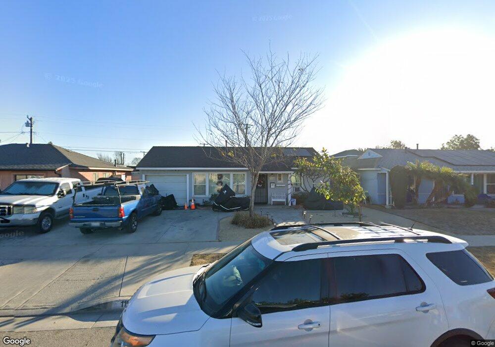
11046 Brink Ave Norwalk, CA 90650
Studebaker NeighborhoodEstimated Value: $677,568 - $733,000
2
Beds
1
Bath
1,096
Sq Ft
$643/Sq Ft
Est. Value
About This Home
This home is located at 11046 Brink Ave, Norwalk, CA 90650 and is currently estimated at $704,642, approximately $642 per square foot. 11046 Brink Ave is a home located in Los Angeles County with nearby schools including Lakeland Elementary School, Lake Center Middle School, and Santa Fe High School.
Ownership History
Date
Name
Owned For
Owner Type
Purchase Details
Closed on
Jan 10, 2006
Sold by
Bermejo Jose L
Bought by
Bermejo Jose L and Bermejo Rita
Current Estimated Value
Home Financials for this Owner
Home Financials are based on the most recent Mortgage that was taken out on this home.
Original Mortgage
$275,000
Interest Rate
1%
Mortgage Type
Negative Amortization
Create a Home Valuation Report for This Property
The Home Valuation Report is an in-depth analysis detailing your home's value as well as a comparison with similar homes in the area
Home Values in the Area
Average Home Value in this Area
Purchase History
| Date | Buyer | Sale Price | Title Company |
|---|---|---|---|
| Bermejo Jose L | -- | Southland Title | |
| Bermejo Jose L | -- | Southland Title |
Source: Public Records
Mortgage History
| Date | Status | Borrower | Loan Amount |
|---|---|---|---|
| Closed | Bermejo Jose L | $275,000 |
Source: Public Records
Tax History Compared to Growth
Tax History
| Year | Tax Paid | Tax Assessment Tax Assessment Total Assessment is a certain percentage of the fair market value that is determined by local assessors to be the total taxable value of land and additions on the property. | Land | Improvement |
|---|---|---|---|---|
| 2025 | $2,057 | $132,219 | $62,036 | $70,183 |
| 2024 | $2,057 | $129,627 | $60,820 | $68,807 |
| 2023 | $2,022 | $127,086 | $59,628 | $67,458 |
| 2022 | $2,012 | $124,595 | $58,459 | $66,136 |
| 2021 | $1,965 | $122,153 | $57,313 | $64,840 |
| 2019 | $6,372 | $105,335 | $55,614 | $49,721 |
| 2018 | $6,075 | $103,271 | $54,524 | $48,747 |
| 2016 | $5,996 | $99,262 | $52,407 | $46,855 |
| 2015 | $1,514 | $97,772 | $51,620 | $46,152 |
| 2014 | $1,512 | $95,857 | $50,609 | $45,248 |
Source: Public Records
Map
Nearby Homes
- 10926 Corby Ave
- 10811 Milano Ave
- 12082 Kenney St
- 11331 Pioneer Blvd
- 12147 Lakeland Rd
- 12147 Lakeland Rd Unit 60
- 12147 Lakeland Rd Unit 9
- 11402 Alburtis Ave
- 11329 Alburtis Ave
- Plan 4 at Aspire
- Plan 1 at Aspire
- Plan 2 at Aspire
- Plan 3 at Aspire
- Plan 5 at Aspire
- 10813 Flallon Ave
- 11739 Florence Ave
- 11733 Florence Ave
- 11733 Florence Ave Unit 1
- 11258 Ringwood Ave
- 11816 Arlee Ave
- 11040 Brink Ave
- 11050 Brink Ave
- 11913 Battle St
- 11060 Brink Ave
- 11921 Battle St
- 11030 Brink Ave
- 11031 Bombardier Ave
- 11025 Bombardier Ave
- 11927 Battle St
- 11014 Brink Ave
- 11047 Brink Ave
- 11045 Brink Ave
- 11037 Bombardier Ave
- 11055 Brink Ave
- 11037 Brink Ave
- 11059 Brink Ave
- 11043 Bombardier Ave
- 11035 Brink Ave
- 11908 Battle St
- 11904 Battle St