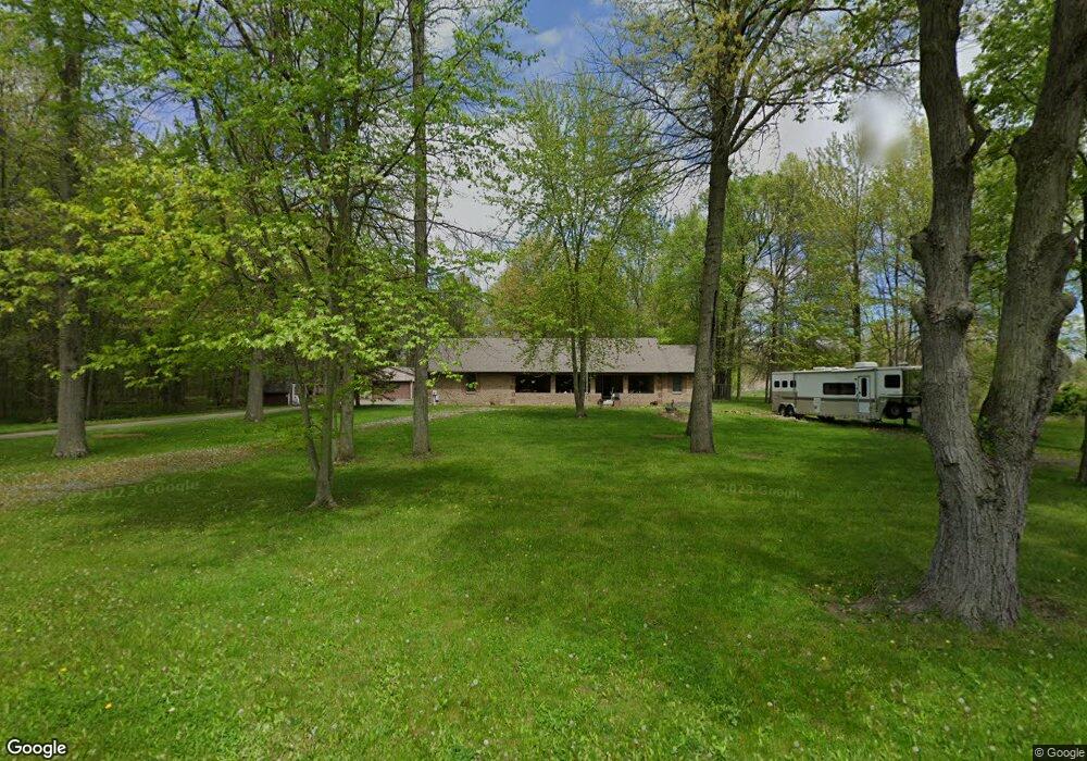
1105 Airport Rd NW Warren, OH 44481
Estimated Value: $266,000 - $351,000
3
Beds
2
Baths
1,636
Sq Ft
$195/Sq Ft
Est. Value
About This Home
This home is located at 1105 Airport Rd NW, Warren, OH 44481 and is currently estimated at $319,644, approximately $195 per square foot. 1105 Airport Rd NW is a home located in Trumbull County with nearby schools including Champion Central Elementary School, Champion Middle School, and Champion High School.
Ownership History
Date
Name
Owned For
Owner Type
Purchase Details
Closed on
Jan 23, 2001
Sold by
Ady Jeffrey A and Ady Karen S
Bought by
Schwab Luther P and Schwab Vicky L
Current Estimated Value
Home Financials for this Owner
Home Financials are based on the most recent Mortgage that was taken out on this home.
Original Mortgage
$85,000
Interest Rate
7.58%
Create a Home Valuation Report for This Property
The Home Valuation Report is an in-depth analysis detailing your home's value as well as a comparison with similar homes in the area
Home Values in the Area
Average Home Value in this Area
Purchase History
| Date | Buyer | Sale Price | Title Company |
|---|---|---|---|
| Schwab Luther P | $165,000 | -- |
Source: Public Records
Mortgage History
| Date | Status | Borrower | Loan Amount |
|---|---|---|---|
| Closed | Schwab Luther P | $85,000 |
Source: Public Records
Tax History Compared to Growth
Tax History
| Year | Tax Paid | Tax Assessment Tax Assessment Total Assessment is a certain percentage of the fair market value that is determined by local assessors to be the total taxable value of land and additions on the property. | Land | Improvement |
|---|---|---|---|---|
| 2024 | $4,446 | $97,730 | $4,800 | $92,930 |
| 2023 | $4,446 | $97,730 | $4,800 | $92,930 |
| 2022 | $3,878 | $73,300 | $4,450 | $68,850 |
| 2021 | $3,860 | $73,300 | $4,450 | $68,850 |
| 2020 | $3,822 | $73,300 | $4,450 | $68,850 |
| 2019 | $3,682 | $66,710 | $4,130 | $62,580 |
| 2018 | $3,718 | $66,710 | $4,130 | $62,580 |
| 2017 | $3,634 | $66,710 | $4,130 | $62,580 |
| 2016 | $3,552 | $63,530 | $4,130 | $59,400 |
| 2015 | $3,419 | $63,530 | $4,130 | $59,400 |
| 2014 | $3,145 | $63,530 | $4,130 | $59,400 |
| 2013 | $3,292 | $67,310 | $4,130 | $63,180 |
Source: Public Records
Map
Nearby Homes
- 4220 N Park Ave
- 0 Shaffer Rd NW
- 722 Airport Rd NW
- Shafer Road North W Unit LotWP001
- 3490 Durst Clagg Rd
- 634 Bristol Champion Townline Rd NE
- 6388 Brianna Way NW
- 5546 Shaffer Rd NW Unit A & B
- 1056 Bristol Champion Townline Rd NW
- 0 Pierce Rd NW
- 6227 Mahoning Ave NW
- 398 Bristol Champion Townline Rd NW
- 176 Durst Dr NW
- 149 Edward St
- 5207 Pierce Rd NW
- 288 Bristol Champion NE
- 0 Durst Dr NW
- 5319 Leslie Ave NW
- 238 Raymond Ave NW
- 2800 N Park Ave
- 1128 Airport Rd NW
- 1112 Airport Rd NW
- 1144 Airport Rd NW
- 1125 Airport Rd NW
- 1156 Airport Rd NW
- 1081 Airport Rd NW
- 1092 Airport Rd NW
- 0 Airport Unit 1021707
- 0 Airport Unit 4407340
- 0 Airport Unit 4125839
- 1080 Airport Rd NW
- 1188 Airport Rd NW
- 1062 Airport Rd NW
- 1200 Airport Rd NW
- 1044 Airport Rd NW
- 1233 Airport Rd NW
- 1224 Airport Rd NW
- 1026 Airport Rd NW
- 1248 Airport Rd NW
- 1257 Airport Rd NW