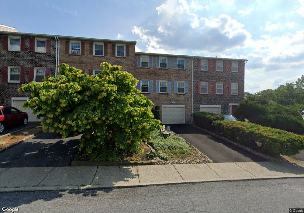
1105 Barnside Rd Allentown, PA 18103
Estimated Value: $329,630 - $359,000
3
Beds
3
Baths
1,932
Sq Ft
$179/Sq Ft
Est. Value
About This Home
This home is located at 1105 Barnside Rd, Allentown, PA 18103 and is currently estimated at $345,658, approximately $178 per square foot. 1105 Barnside Rd is a home located in Lehigh County with nearby schools including Wescosville Elementary School, Lower Macungie Middle School, and Emmaus High School.
Ownership History
Date
Name
Owned For
Owner Type
Purchase Details
Closed on
Oct 28, 2013
Sold by
Gier Gertrude and Connors Gertrude M
Bought by
Connors Gertrude M
Current Estimated Value
Purchase Details
Closed on
Jun 27, 2005
Sold by
Jamil Ahmed Syed M and Jamil Shabana
Bought by
Gier Gertrude
Home Financials for this Owner
Home Financials are based on the most recent Mortgage that was taken out on this home.
Original Mortgage
$112,000
Outstanding Balance
$59,068
Interest Rate
5.82%
Mortgage Type
Fannie Mae Freddie Mac
Estimated Equity
$286,590
Purchase Details
Closed on
Jul 26, 2001
Sold by
Baker Moretz Lisa A
Bought by
Jamil Ahmed Syed M and Jamil Shabana
Purchase Details
Closed on
Jan 25, 1999
Sold by
Baker Lisa A and Baker Moretz Lisa A
Bought by
Baker Moretz Lisa A
Purchase Details
Closed on
Aug 31, 1989
Bought by
Baker Lisa
Create a Home Valuation Report for This Property
The Home Valuation Report is an in-depth analysis detailing your home's value as well as a comparison with similar homes in the area
Home Values in the Area
Average Home Value in this Area
Purchase History
| Date | Buyer | Sale Price | Title Company |
|---|---|---|---|
| Connors Gertrude M | -- | None Available | |
| Gier Gertrude | $160,000 | -- | |
| Jamil Ahmed Syed M | $122,500 | -- | |
| Baker Moretz Lisa A | -- | -- | |
| Baker Lisa | $127,000 | -- |
Source: Public Records
Mortgage History
| Date | Status | Borrower | Loan Amount |
|---|---|---|---|
| Open | Gier Gertrude | $112,000 |
Source: Public Records
Tax History
| Year | Tax Paid | Tax Assessment Tax Assessment Total Assessment is a certain percentage of the fair market value that is determined by local assessors to be the total taxable value of land and additions on the property. | Land | Improvement |
|---|---|---|---|---|
| 2025 | $4,243 | $166,200 | $11,600 | $154,600 |
| 2024 | $4,105 | $166,200 | $11,600 | $154,600 |
| 2023 | $4,023 | $166,200 | $11,600 | $154,600 |
| 2022 | $3,928 | $166,200 | $154,600 | $11,600 |
| 2021 | $3,844 | $166,200 | $11,600 | $154,600 |
| 2020 | $3,808 | $166,200 | $11,600 | $154,600 |
| 2019 | $3,743 | $166,200 | $11,600 | $154,600 |
| 2018 | $3,694 | $166,200 | $11,600 | $154,600 |
| 2017 | $3,629 | $166,200 | $11,600 | $154,600 |
| 2016 | -- | $166,200 | $11,600 | $154,600 |
| 2015 | -- | $166,200 | $11,600 | $154,600 |
| 2014 | -- | $166,200 | $11,600 | $154,600 |
Source: Public Records
Map
Nearby Homes
- 1049 Barnside Rd
- 4501 N Hedgerow Dr Unit 4
- 1270 Minesite Rd
- 1385 Brookside Rd
- 997 Village Round Unit K
- 997K Village Round Unit 104K
- 1037 Village Round Unit L
- 5619 Stonecroft Ln
- 1290 Country Club Rd
- 1130 Patricia Dr
- 2117 Isabel Ln
- 4020 W Linden St Unit 4026
- 5137 Schantz Rd Unit The Jackson
- 5137 Schantz Rd Unit The Kennedy
- 5137 Schantz Rd Unit The Roosevelt
- 5137 Schantz Rd Unit The Madison
- 5137 Schantz Rd Unit The Monroe
- 5137 Schantz Rd Unit The Jefferson
- 2153 Isabel Ln
- 6126 Palomino Dr
- 1101 Barnside Rd
- 1109 Barnside Rd
- 1097 Barnside Rd
- 1093 Barnside Rd
- 1089 Barnside Rd
- 4622 N Hedgerow Dr
- 1085 Barnside Rd
- 1104 Barnside Rd
- 1096 Barnside Rd
- 1100 Barnside Rd
- 1092 Barnside Rd
- 4624 N Hedgerow Dr
- 4601 N Hedgerow Dr
- 1090 Barnside Rd
- 1081 Barnside Rd
- 1086 Barnside Rd
- 4628 N Hedgerow Dr
- 1084 Barnside Rd
- 4603 N Hedgerow Dr
- 1077 Barnside Rd
Your Personal Tour Guide
Ask me questions while you tour the home.