1105 Brookside Rd Clinton, IA 52732
Estimated Value: $321,000 - $409,000
2
Beds
3
Baths
2,893
Sq Ft
$130/Sq Ft
Est. Value
About This Home
This home is located at 1105 Brookside Rd, Clinton, IA 52732 and is currently estimated at $377,424, approximately $130 per square foot. 1105 Brookside Rd is a home located in Clinton County with nearby schools including Whittier Elementary School, Clinton Middle School, and Clinton High School.
Ownership History
Date
Name
Owned For
Owner Type
Purchase Details
Closed on
Mar 3, 2020
Sold by
Bierle Kylee J
Bought by
Bierle Kylee J and Bierle Ryan J
Current Estimated Value
Purchase Details
Closed on
Dec 18, 2017
Sold by
Bierle Kylee J
Bought by
Bierle Kylee J and Kylee J Bierle Trust
Purchase Details
Closed on
Oct 1, 2008
Sold by
Bierle Ryan J and Bierle Kylee J
Bought by
Bierle Ryan J and Johnson Kylee J
Home Financials for this Owner
Home Financials are based on the most recent Mortgage that was taken out on this home.
Original Mortgage
$384,000
Interest Rate
6.52%
Mortgage Type
Unknown
Create a Home Valuation Report for This Property
The Home Valuation Report is an in-depth analysis detailing your home's value as well as a comparison with similar homes in the area
Home Values in the Area
Average Home Value in this Area
Purchase History
| Date | Buyer | Sale Price | Title Company |
|---|---|---|---|
| Bierle Kylee J | -- | None Available | |
| Bierle Kylee J | -- | None Available | |
| Bierle Ryan J | -- | None Available |
Source: Public Records
Mortgage History
| Date | Status | Borrower | Loan Amount |
|---|---|---|---|
| Previous Owner | Bierle Ryan J | $384,000 |
Source: Public Records
Tax History Compared to Growth
Tax History
| Year | Tax Paid | Tax Assessment Tax Assessment Total Assessment is a certain percentage of the fair market value that is determined by local assessors to be the total taxable value of land and additions on the property. | Land | Improvement |
|---|---|---|---|---|
| 2025 | $7,110 | $439,400 | $40,200 | $399,200 |
| 2024 | $7,110 | $381,980 | $40,200 | $341,780 |
| 2023 | $7,008 | $381,980 | $40,200 | $341,780 |
| 2022 | $7,132 | $326,120 | $40,200 | $285,920 |
| 2021 | $7,314 | $326,120 | $40,200 | $285,920 |
| 2020 | $7,314 | $316,844 | $33,440 | $283,404 |
| 2019 | $7,550 | $316,844 | $0 | $0 |
| 2018 | $7,354 | $316,844 | $0 | $0 |
| 2017 | $7,562 | $316,844 | $0 | $0 |
| 2016 | $7,320 | $316,844 | $0 | $0 |
| 2015 | $7,320 | $316,844 | $0 | $0 |
| 2014 | $7,350 | $316,844 | $0 | $0 |
| 2013 | $7,246 | $0 | $0 | $0 |
Source: Public Records
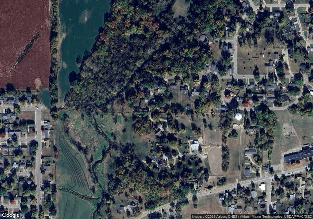
Map
Nearby Homes
- 1908 Circle Dr S
- 819 Millcrest Ct
- 2340 Lafayette Terrace
- 1836 Zara Trace
- 1830 Zara Trace
- 1824 Zara Trace
- 1818 Zara Trace
- 1825 5th Ave S
- 1813 Zara Trace St
- 1510 7th Ave S
- 1907 Zara Trace
- 1915 Zara Trace
- 1921 Zara Trace
- 1933 Zara Trace
- 1805 Zara Trace
- 1825 Zara Trace
- 1819 Zara Trace
- 1837 Zara Trace
- 1865 Harrison Dr
- 1400 8th Ave S
- 1017 Brookside Rd
- 1016 Brookside Rd
- 1950 S Bluff Blvd
- 1011 Brookside Rd
- 2025 Glendale Rd
- 2019 Glendale Rd
- 1005 Brookside Rd
- 1004 Brookside Rd
- 2001 Glendale Rd
- 2001 Glendale Rd
- 2011 Glendale Rd
- 2000 S Bluff Blvd
- 1953 Glendale Rd
- 1925 Circle Dr S
- 1960 Glendale Rd
- 2100 S Bluff Blvd
- 1954 Glendale Rd
- 2010 Glendale Rd
- 1950 Glendale Rd
- 2033 S Bluff Blvd