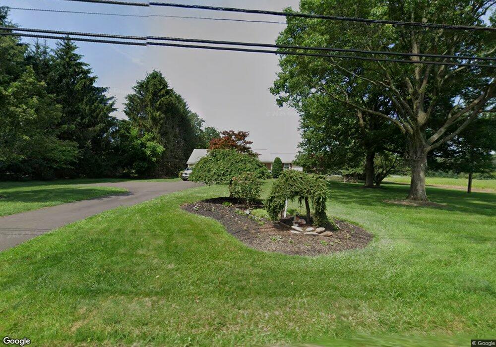
1105 Callowhill Rd Chalfont, PA 18914
Estimated Value: $352,000 - $544,000
2
Beds
1
Bath
1,338
Sq Ft
$326/Sq Ft
Est. Value
About This Home
This home is located at 1105 Callowhill Rd, Chalfont, PA 18914 and is currently estimated at $436,440, approximately $326 per square foot. 1105 Callowhill Rd is a home located in Bucks County with nearby schools including Pennridge High School and Plumstead Christ School Peace Val.
Ownership History
Date
Name
Owned For
Owner Type
Purchase Details
Closed on
Oct 31, 1995
Sold by
Grass Bernyce R and Grass Sadie D
Bought by
Sheetz Dale J and Sheetz Cynthia C
Current Estimated Value
Home Financials for this Owner
Home Financials are based on the most recent Mortgage that was taken out on this home.
Original Mortgage
$120,600
Outstanding Balance
$1,684
Interest Rate
7.58%
Estimated Equity
$434,756
Purchase Details
Closed on
Sep 21, 1970
Bought by
Grass Bernyce R and Grass Sadie D
Create a Home Valuation Report for This Property
The Home Valuation Report is an in-depth analysis detailing your home's value as well as a comparison with similar homes in the area
Home Values in the Area
Average Home Value in this Area
Purchase History
| Date | Buyer | Sale Price | Title Company |
|---|---|---|---|
| Sheetz Dale J | -- | -- | |
| Grass Bernyce R | -- | -- |
Source: Public Records
Mortgage History
| Date | Status | Borrower | Loan Amount |
|---|---|---|---|
| Open | Sheetz Dale J | $120,600 |
Source: Public Records
Tax History Compared to Growth
Tax History
| Year | Tax Paid | Tax Assessment Tax Assessment Total Assessment is a certain percentage of the fair market value that is determined by local assessors to be the total taxable value of land and additions on the property. | Land | Improvement |
|---|---|---|---|---|
| 2025 | $4,458 | $26,000 | $5,600 | $20,400 |
| 2024 | $4,458 | $26,000 | $5,600 | $20,400 |
| 2023 | $4,406 | $26,000 | $5,600 | $20,400 |
| 2022 | $4,406 | $26,000 | $5,600 | $20,400 |
| 2021 | $4,406 | $26,000 | $5,600 | $20,400 |
| 2020 | $4,406 | $26,000 | $5,600 | $20,400 |
| 2019 | $4,380 | $26,000 | $5,600 | $20,400 |
| 2018 | $4,380 | $26,000 | $5,600 | $20,400 |
| 2017 | $4,347 | $26,000 | $5,600 | $20,400 |
| 2016 | $4,347 | $26,000 | $5,600 | $20,400 |
| 2015 | -- | $26,000 | $5,600 | $20,400 |
| 2014 | -- | $26,000 | $5,600 | $20,400 |
Source: Public Records
Map
Nearby Homes
- 744 Broad St
- 1161 Upper Stump Rd
- 315 Old Limekiln Lot 3 Rd
- 622 Welcome House Rd
- 1528 Hilltown Pike
- 9 Dublin Rd
- 84 Curley Mill Rd
- 206 Twinbrook Rd
- 0 Callowhill Rd Unit PABU2108060
- 161 Maple Ave
- 810 Callowhill Rd
- 346 Maregan Dr
- Lot 6 Henry Ct
- 1212 Revere Dr
- 132 Applewood Ln
- 0003 Baldwin Way
- 0004 Baldwin Way
- 0002 Baldwin Way
- 2 Baldwin Way
- 137 S Main St
- 1102 Callowhill Rd
- 1100 Callowhill Rd
- 1104 Callowhill Rd
- 1103 Callowhill Rd
- 703 Broad St
- 709 Broad St
- 715 Broad St
- 1107 Callowhill Rd
- 721 Broad St
- 630 Broad St
- 609 Broad St
- 708 Broad St
- 724 Broad St
- 605 Broad St
- 728 Broad St
- 735 Broad St
- 0 Broad St Unit 7145346
- 0000 Broad St
- 0 Broad St Unit 546073
- 730 Broad St