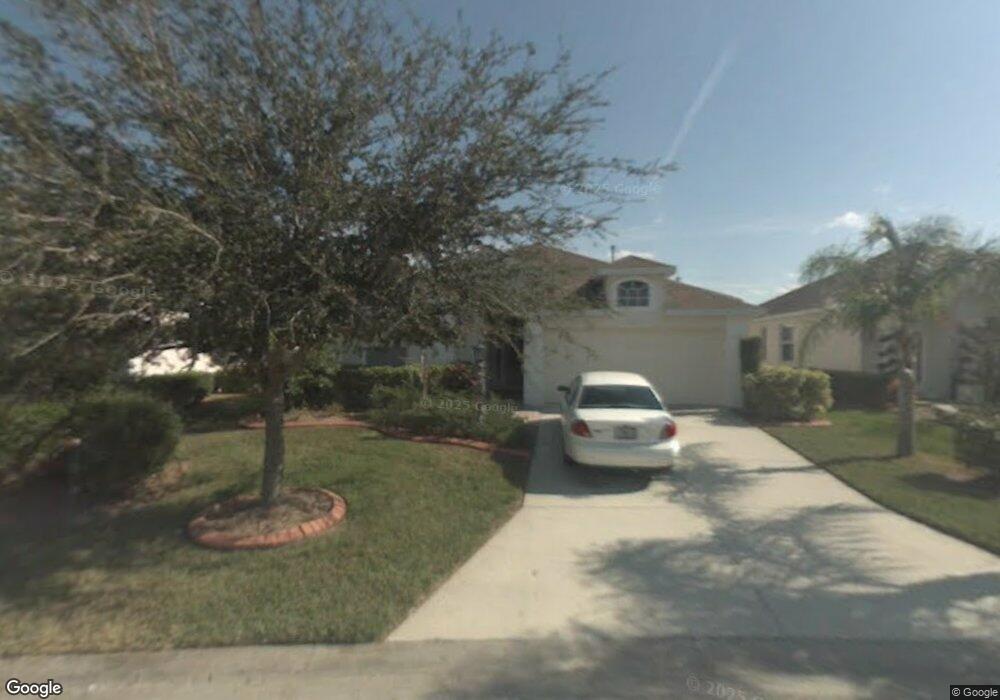
1105 Cane Mill Ln Bradenton, FL 34212
Estimated Value: $358,022 - $411,000
2
Beds
2
Baths
1,793
Sq Ft
$221/Sq Ft
Est. Value
About This Home
This home is located at 1105 Cane Mill Ln, Bradenton, FL 34212 and is currently estimated at $395,756, approximately $220 per square foot. 1105 Cane Mill Ln is a home located in Manatee County with nearby schools including Freedom Elementary School, Carlos E. Haile Middle School, and Parrish Community High School.
Ownership History
Date
Name
Owned For
Owner Type
Purchase Details
Closed on
Feb 21, 2012
Sold by
Intoccia Angela A
Bought by
Intoccia Angela A and Angela A Intoccia Trust
Current Estimated Value
Purchase Details
Closed on
Aug 16, 2000
Sold by
B W Gen Cont Inc
Bought by
Intoccia Robert T and Intoccia Angela A
Home Financials for this Owner
Home Financials are based on the most recent Mortgage that was taken out on this home.
Original Mortgage
$60,000
Outstanding Balance
$21,679
Interest Rate
8.17%
Estimated Equity
$374,077
Create a Home Valuation Report for This Property
The Home Valuation Report is an in-depth analysis detailing your home's value as well as a comparison with similar homes in the area
Purchase History
| Date | Buyer | Sale Price | Title Company |
|---|---|---|---|
| Intoccia Angela A | -- | Attorney | |
| Intoccia Robert T | $149,400 | -- |
Source: Public Records
Mortgage History
| Date | Status | Borrower | Loan Amount |
|---|---|---|---|
| Open | Intoccia Robert T | $60,000 |
Source: Public Records
Tax History
| Year | Tax Paid | Tax Assessment Tax Assessment Total Assessment is a certain percentage of the fair market value that is determined by local assessors to be the total taxable value of land and additions on the property. | Land | Improvement |
|---|---|---|---|---|
| 2025 | $1,753 | $161,217 | -- | -- |
| 2023 | $1,753 | $152,110 | $0 | $0 |
| 2022 | $1,764 | $147,680 | $0 | $0 |
| 2021 | $1,689 | $143,379 | $0 | $0 |
| 2020 | $1,743 | $141,399 | $0 | $0 |
| 2019 | $1,714 | $138,220 | $0 | $0 |
| 2018 | $1,697 | $135,643 | $0 | $0 |
| 2017 | $1,574 | $132,853 | $0 | $0 |
| 2016 | $1,568 | $130,120 | $0 | $0 |
Source: Public Records
Map
Nearby Homes
- 1135 Millbrook Cir
- 774 Planters Manor Way
- 1494 Millbrook Cir
- 834 Springwood Cir
- 920 Springwood Cir
- 718 Planters Manor Way
- 531 Hunter Ln
- 535 Planters Manor Way
- 9605 Bladesmith Ln
- 566 Planters Manor Way
- 574 Planters Manor Way
- 8772 Stone Harbour Loop
- 8844 Stone Harbour Loop
- 8746 Stone Harbour Loop
- 8725 Stone Harbour Loop
- 710 Acacia Ct
- 706 Acacia Ct
- 314 111th St E
- 1003 Fairwaycove Ln Unit 205
- 923 Fairwaycove Ln Unit 103
- 1109 Cane Mill Ln
- 1101 Cane Mill Ln
- 1253 Millbrook Cir
- 1249 Millbrook Cir
- 1257 Millbrook Cir
- 1113 Cane Mill Ln
- 1104 Cane Mill Ln
- 1117 Cane Mill Ln
- 1108 Cane Mill Ln
- 1265 Millbrook Cir
- 1112 Cane Mill Ln
- 1216 Millbrook Cir
- 1220 Millbrook Cir
- 1212 Millbrook Cir
- 1121 Cane Mill Ln
- 1224 Millbrook Cir
- 1116 Cane Mill Ln
- 1269 Millbrook Cir
- 1208 Millbrook Cir
- 1252 Millbrook Cir
Your Personal Tour Guide
Ask me questions while you tour the home.