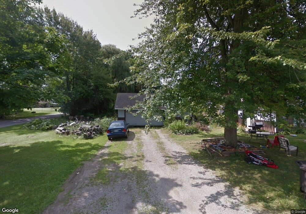
1105 Eugene Ave Jackson, MI 49203
Estimated Value: $121,000 - $235,000
5
Beds
1
Bath
3,136
Sq Ft
$58/Sq Ft
Est. Value
About This Home
This home is located at 1105 Eugene Ave, Jackson, MI 49203 and is currently estimated at $182,118, approximately $58 per square foot. 1105 Eugene Ave is a home located in Jackson County with nearby schools including Townsend Elementary School and Vandercook Lake High School.
Ownership History
Date
Name
Owned For
Owner Type
Purchase Details
Closed on
Aug 29, 2006
Sold by
Cavender Thomas J and Cavender Marilyn
Bought by
Cavender Adam C and Cavender Stephanie A
Current Estimated Value
Home Financials for this Owner
Home Financials are based on the most recent Mortgage that was taken out on this home.
Original Mortgage
$99,000
Outstanding Balance
$65,138
Interest Rate
8.5%
Mortgage Type
Purchase Money Mortgage
Estimated Equity
$116,980
Purchase Details
Closed on
Mar 1, 2005
Sold by
Citibank Na
Bought by
Homesales Inc
Create a Home Valuation Report for This Property
The Home Valuation Report is an in-depth analysis detailing your home's value as well as a comparison with similar homes in the area
Home Values in the Area
Average Home Value in this Area
Purchase History
| Date | Buyer | Sale Price | Title Company |
|---|---|---|---|
| Cavender Adam C | $90,000 | Bell Title Company | |
| Homesales Inc | -- | Mst |
Source: Public Records
Mortgage History
| Date | Status | Borrower | Loan Amount |
|---|---|---|---|
| Open | Cavender Adam C | $99,000 |
Source: Public Records
Tax History
| Year | Tax Paid | Tax Assessment Tax Assessment Total Assessment is a certain percentage of the fair market value that is determined by local assessors to be the total taxable value of land and additions on the property. | Land | Improvement |
|---|---|---|---|---|
| 2025 | $1,545 | $46,100 | $0 | $0 |
| 2024 | $7 | $38,500 | $0 | $0 |
| 2023 | $629 | $33,400 | $0 | $0 |
| 2022 | $1,460 | $28,600 | $0 | $0 |
| 2021 | $1,486 | $33,800 | $0 | $0 |
| 2020 | $1,451 | $29,700 | $0 | $0 |
| 2019 | $1,361 | $26,800 | $0 | $0 |
| 2018 | $1,327 | $25,000 | $0 | $0 |
| 2017 | $1,211 | $24,800 | $0 | $0 |
| 2016 | $540 | $24,300 | $24,300 | $0 |
| 2015 | $1,169 | $23,900 | $23,900 | $0 |
| 2014 | $1,169 | $23,200 | $23,200 | $0 |
| 2013 | -- | $23,200 | $23,200 | $0 |
Source: Public Records
Map
Nearby Homes
- 323 S Maurice Ave
- 172 Taylor Ave Unit 84
- 1248 Upper Lucy #111 Unit 111
- 1 Pete St Unit 39
- 1400 Floyd Ave
- 4030 Gatewood Dr
- 406 E Mcdevitt Ave
- 204 Meyers Ave
- 5400 Sharon Dr
- 206 W Vandercook Dr
- 5182 Grande View Ln
- 118 Ridge St
- 108 S Cove St
- VL S Meridian Rd
- 411 Hinckley Blvd
- 615 Sioux St
- 2000 Evergreen Trail
- VL Hague Ave
- 4900 Nantucket Dr Unit 1
- VL Spring Arbor Rd
Your Personal Tour Guide
Ask me questions while you tour the home.