1105 Frontier Ct Reno, NV 89503
Kings Row NeighborhoodEstimated Value: $369,710 - $391,000
2
Beds
2
Baths
1,069
Sq Ft
$355/Sq Ft
Est. Value
About This Home
This home is located at 1105 Frontier Ct, Reno, NV 89503 and is currently estimated at $379,678, approximately $355 per square foot. 1105 Frontier Ct is a home located in Washoe County with nearby schools including Grace Warner Elementary School, Archie Clayton Pre-AP Academy, and Robert McQueen High School.
Ownership History
Date
Name
Owned For
Owner Type
Purchase Details
Closed on
Nov 10, 2005
Sold by
Shapiro Caryn M and Sutherland Cynthia A
Bought by
Connolly James Harper
Current Estimated Value
Home Financials for this Owner
Home Financials are based on the most recent Mortgage that was taken out on this home.
Original Mortgage
$170,000
Outstanding Balance
$95,242
Interest Rate
6.71%
Mortgage Type
Negative Amortization
Estimated Equity
$284,436
Purchase Details
Closed on
Jun 1, 2001
Sold by
Lee Daniel K and Madura Sandra L
Bought by
Fliess Kenneth H
Home Financials for this Owner
Home Financials are based on the most recent Mortgage that was taken out on this home.
Original Mortgage
$107,910
Interest Rate
7.15%
Create a Home Valuation Report for This Property
The Home Valuation Report is an in-depth analysis detailing your home's value as well as a comparison with similar homes in the area
Home Values in the Area
Average Home Value in this Area
Purchase History
| Date | Buyer | Sale Price | Title Company |
|---|---|---|---|
| Connolly James Harper | $245,000 | Western Title Incorporated | |
| Fliess Kenneth H | $120,000 | First Centennial Title Co |
Source: Public Records
Mortgage History
| Date | Status | Borrower | Loan Amount |
|---|---|---|---|
| Open | Connolly James Harper | $170,000 | |
| Previous Owner | Fliess Kenneth H | $107,910 |
Source: Public Records
Tax History
| Year | Tax Paid | Tax Assessment Tax Assessment Total Assessment is a certain percentage of the fair market value that is determined by local assessors to be the total taxable value of land and additions on the property. | Land | Improvement |
|---|---|---|---|---|
| 2026 | $695 | $45,901 | $28,875 | $17,026 |
| 2024 | $1,003 | $44,628 | $26,250 | $18,378 |
| 2023 | $1,003 | $43,656 | $27,020 | $16,636 |
| 2022 | $975 | $37,364 | $21,595 | $15,769 |
| 2021 | $947 | $32,859 | $16,695 | $16,164 |
| 2020 | $914 | $32,711 | $16,065 | $16,646 |
| 2019 | $887 | $32,337 | $16,030 | $16,307 |
| 2018 | $862 | $27,672 | $11,410 | $16,262 |
| 2017 | $839 | $27,128 | $10,675 | $16,453 |
| 2016 | $816 | $26,414 | $9,380 | $17,034 |
| 2015 | $815 | $23,863 | $7,105 | $16,758 |
| 2014 | $790 | $23,580 | $6,615 | $16,965 |
| 2013 | -- | $20,844 | $4,060 | $16,784 |
Source: Public Records
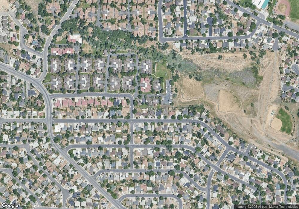
Map
Nearby Homes
- 1181 Wagon Wheel Cir
- 1155 Beldon Way
- 1195 Wagon Wheel Cir
- 1206 Freddie Ct
- 3405 Bowie Rd
- 1045 Hartford Ct
- 1095 Tudor Ct
- 745 Akard Dr
- 3020 Kings Row
- 664 James Ln
- 3085 Kings Row
- 2801 Kings Row
- 3264 Barbara Cir
- 3286 Heights Dr
- 2720 Judith Ln
- 1470 Marne Dr
- 1495 Doric Dr
- 3271 Heights Dr
- 3235 Bryan St
- 3848 Bexley Square
- 1107 Frontier Ct
- 1103 Frontier Ct
- 1101 Frontier Ct
- 1111 Frontier Ct
- 1109 Frontier Ct
- 1260 Akard Dr
- 1280 Akard Dr
- 1240 Akard Dr
- 1290 Akard Dr
- 1121 Wagon Wheel Cir
- 1119 Wagon Wheel Cir
- 1123 Wagon Wheel Cir
- 1113 Frontier Ct
- 1003 Frontier St
- 1220 Akard Dr
- 1115 Frontier Ct
- 1125 Wagon Wheel Cir
- 1127 Wagon Wheel Cir Unit 2
- 1127 Wagon Wheel Cir Unit 1
- 1165 Wagon Wheel Cir
Your Personal Tour Guide
Ask me questions while you tour the home.