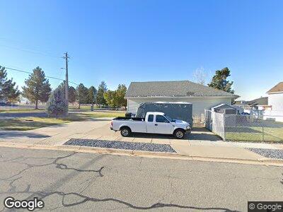
1105 N Alfred Ave Kaysville, UT 84037
Estimated Value: $528,000 - $650,000
5
Beds
3
Baths
1,414
Sq Ft
$400/Sq Ft
Est. Value
About This Home
This home is located at 1105 N Alfred Ave, Kaysville, UT 84037 and is currently estimated at $565,538, approximately $399 per square foot. 1105 N Alfred Ave is a home located in Davis County with nearby schools including Creekside Elementary School, Fairfield Junior High School, and Davis High School.
Ownership History
Date
Name
Owned For
Owner Type
Purchase Details
Closed on
Aug 29, 1997
Sold by
Castle Homes Llc
Bought by
Young Douglas H and Young Jennifer W
Current Estimated Value
Home Financials for this Owner
Home Financials are based on the most recent Mortgage that was taken out on this home.
Original Mortgage
$157,300
Interest Rate
7.42%
Purchase Details
Closed on
Mar 5, 1997
Sold by
Lark Meadows Llc
Bought by
Castle Homes Llc
Create a Home Valuation Report for This Property
The Home Valuation Report is an in-depth analysis detailing your home's value as well as a comparison with similar homes in the area
Home Values in the Area
Average Home Value in this Area
Purchase History
| Date | Buyer | Sale Price | Title Company |
|---|---|---|---|
| Young Douglas H | -- | Security Title Insurance Age | |
| Castle Homes Llc | -- | First American Title Co |
Source: Public Records
Mortgage History
| Date | Status | Borrower | Loan Amount |
|---|---|---|---|
| Open | Young Douglas H | $90,000 | |
| Closed | Young Douglas H | $144,000 | |
| Closed | Young Douglas H | $157,300 |
Source: Public Records
Tax History Compared to Growth
Tax History
| Year | Tax Paid | Tax Assessment Tax Assessment Total Assessment is a certain percentage of the fair market value that is determined by local assessors to be the total taxable value of land and additions on the property. | Land | Improvement |
|---|---|---|---|---|
| 2024 | $2,690 | $273,899 | $132,468 | $141,431 |
| 2023 | $2,660 | $263,450 | $127,116 | $136,334 |
| 2022 | $2,706 | $497,000 | $226,238 | $270,762 |
| 2021 | $2,485 | $373,000 | $169,492 | $203,508 |
| 2020 | $2,227 | $324,000 | $142,517 | $181,483 |
| 2019 | $2,187 | $312,000 | $163,540 | $148,460 |
| 2018 | $1,998 | $283,000 | $142,500 | $140,500 |
| 2016 | $1,954 | $144,430 | $35,922 | $108,508 |
| 2015 | $1,888 | $132,990 | $35,922 | $97,068 |
| 2014 | $1,895 | $135,791 | $36,093 | $99,698 |
| 2013 | -- | $111,321 | $32,788 | $78,533 |
Source: Public Records
Map
Nearby Homes
- 286 Bing Cherry Way
- 1098 E 375 S
- 1238 E 750 S Unit 2108
- 231 E 950 N
- 920 N 240 E
- 1093 E 255 S
- 833 N 170 E
- 1090 Rosewood Ln
- 928 E Mutton Hollow Rd
- 454 E Mutton Hollow Rd
- 1913 E 75 S
- 1977 E 75 S
- 558 S 850 E
- 627 S 825 E
- 864 N Crimson Ln
- 742 N Stonne Ln
- 680 N Stonne Ln
- 470 S Whitesides St
- 644 N Stonne Ln
- 183 Country Creek Dr
- 1105 N Alfred Ave
- 1123 N Alfred Ave
- 43 E Mutton Hollow Rd
- 36 E Daniel Dr
- 1108 N Alfred Ave
- 1120 N Alfred Ave
- 35 E Mutton Hollow Rd
- 1132 N Alfred Ave
- 28 E Daniel Dr
- 1144 N Alfred Ave
- 39 E Daniel Dr
- 58 E Coburn Cir
- 27 W Mutton Hollow Rd
- 1156 N Alfred Ave
- 74 E Coburn Cir
- 25 E Daniel Dr
- 1917 E Daniel Dr Unit 1
- 1935 E Daniel Dr Unit 2
- 2025 E Daniel Dr Unit 7
- 1972 E Daniel Dr Unit 13