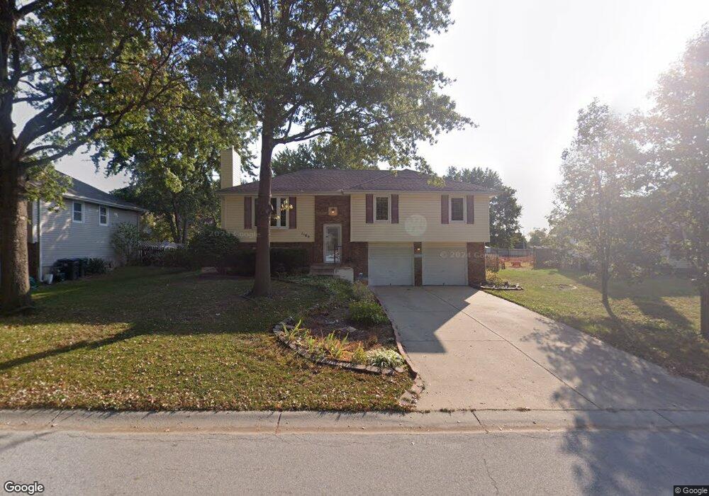
1105 NE Westwind Dr Lees Summit, MO 64086
Estimated Value: $290,335 - $315,000
3
Beds
3
Baths
1,282
Sq Ft
$237/Sq Ft
Est. Value
About This Home
This home is located at 1105 NE Westwind Dr, Lees Summit, MO 64086 and is currently estimated at $304,084, approximately $237 per square foot. 1105 NE Westwind Dr is a home located in Jackson County with nearby schools including Underwood Elementary School, Bernard C. Campbell Middle School, and Lee's Summit North High School.
Ownership History
Date
Name
Owned For
Owner Type
Purchase Details
Closed on
Jul 22, 1997
Sold by
Musgrave Richard A and Musgrave Vicky A
Bought by
Palmer Donald D and Palmer Leslie A Jessica
Current Estimated Value
Home Financials for this Owner
Home Financials are based on the most recent Mortgage that was taken out on this home.
Original Mortgage
$91,100
Outstanding Balance
$13,310
Interest Rate
7.72%
Mortgage Type
Purchase Money Mortgage
Estimated Equity
$290,774
Create a Home Valuation Report for This Property
The Home Valuation Report is an in-depth analysis detailing your home's value as well as a comparison with similar homes in the area
Home Values in the Area
Average Home Value in this Area
Purchase History
| Date | Buyer | Sale Price | Title Company |
|---|---|---|---|
| Palmer Donald D | -- | -- |
Source: Public Records
Mortgage History
| Date | Status | Borrower | Loan Amount |
|---|---|---|---|
| Open | Palmer Donald D | $91,100 |
Source: Public Records
Tax History
| Year | Tax Paid | Tax Assessment Tax Assessment Total Assessment is a certain percentage of the fair market value that is determined by local assessors to be the total taxable value of land and additions on the property. | Land | Improvement |
|---|---|---|---|---|
| 2025 | $3,561 | $44,475 | $6,851 | $37,624 |
| 2024 | $3,535 | $49,315 | $5,651 | $43,664 |
| 2023 | $3,535 | $49,315 | $6,312 | $43,003 |
| 2022 | $2,715 | $33,630 | $5,064 | $28,566 |
| 2021 | $2,771 | $33,630 | $5,064 | $28,566 |
| 2020 | $2,609 | $31,360 | $5,064 | $26,296 |
| 2019 | $2,538 | $31,360 | $5,064 | $26,296 |
| 2018 | $2,489 | $28,536 | $4,261 | $24,275 |
| 2016 | $2,503 | $28,405 | $4,047 | $24,358 |
Source: Public Records
Map
Nearby Homes
- 1128 NE Westwind Dr
- 1213 NE Ball Dr
- 1012 NE Barnes Dr
- 1141 NE Hunters Ridge
- 804 NE Banner Dr
- 802 NE Banner Dr
- 1104 NE Country Ln
- 807 NE Magellan Ave
- 1401 NE Ernest Way
- 701 NE Banner Dr
- 1412 NE Ernest Way
- 1133 NE Mulberry St
- 1300 NE Browning Ln
- 809 NE Mulberry St
- 1490 NE Independence Ave
- 1016 NE Depot Dr
- 1108 NE Colleen Dr
- 810 NE Chestnut St
- 717 NE Mulberry St
- 606 NE Magellan Ave
- 1101 NE Westwind Dr
- 1109 NE Westwind Dr
- 1104 NE Westwind Dr
- 1108 NE Westwind Dr
- 1100 NE Westwind Dr
- 1113 NE Westwind Dr
- 1112 NE Westwind Dr
- 1106 NE Richardson Place
- 1102 NE Richardson Place
- 1117 NE Westwind Dr
- 1116 NE Westwind Dr
- 1110 NE Richardson Place
- 1100 NE Richardson Place
- 1114 NE Richardson Place
- 1120 NE Westwind Dr
- 1105 NE Ridgeview Dr
- 1109 NE Ridgeview Dr
- 1101 NE Ridgeview Dr
- 1103 NE Richardson Place
- 1025 NE Scruggs Rd
Your Personal Tour Guide
Ask me questions while you tour the home.