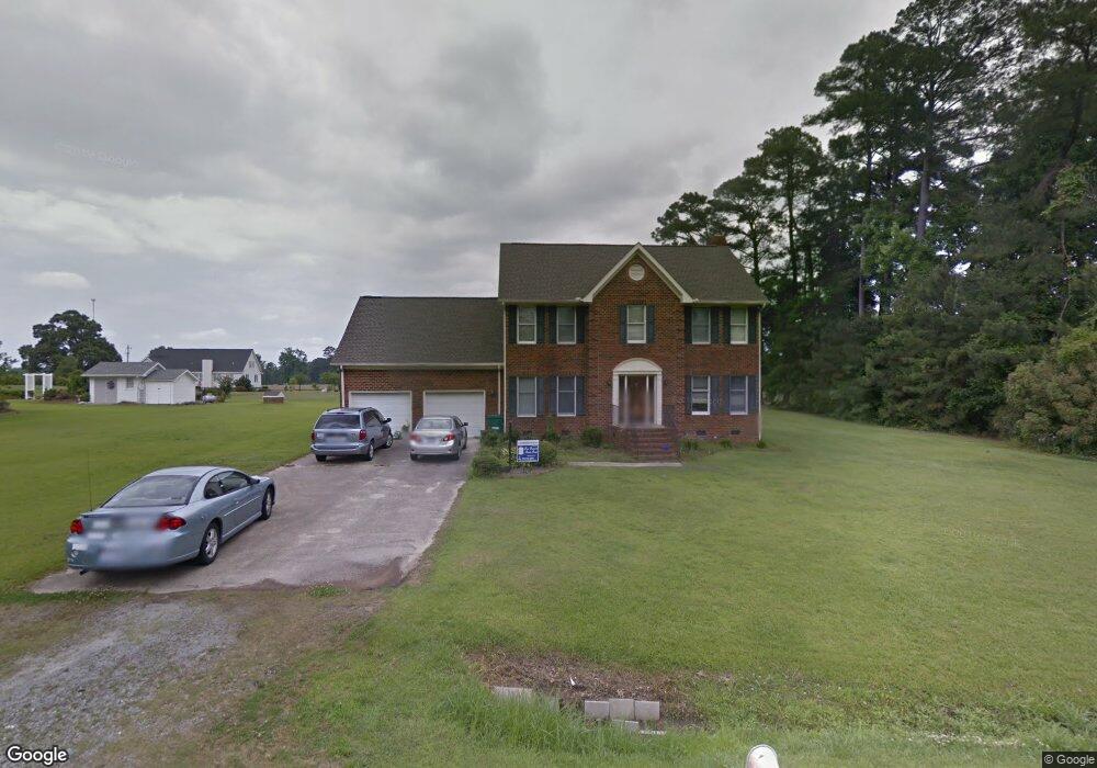
1105 Oakdale Dr Williamston, NC 27892
Estimated Value: $241,000 - $383,000
4
Beds
3
Baths
2,900
Sq Ft
$107/Sq Ft
Est. Value
About This Home
This home is located at 1105 Oakdale Dr, Williamston, NC 27892 and is currently estimated at $309,252, approximately $106 per square foot. 1105 Oakdale Dr is a home located in Martin County with nearby schools including Williamston Primary School, E.J. Hayes Elementary School, and Riverside Middle School.
Ownership History
Date
Name
Owned For
Owner Type
Purchase Details
Closed on
Sep 4, 2013
Sold by
Kimball Robert L and Balot Linda
Bought by
Kimball Karen E
Current Estimated Value
Home Financials for this Owner
Home Financials are based on the most recent Mortgage that was taken out on this home.
Original Mortgage
$81,850
Interest Rate
4.37%
Mortgage Type
New Conventional
Create a Home Valuation Report for This Property
The Home Valuation Report is an in-depth analysis detailing your home's value as well as a comparison with similar homes in the area
Home Values in the Area
Average Home Value in this Area
Purchase History
| Date | Buyer | Sale Price | Title Company |
|---|---|---|---|
| Kimball Karen E | $3,500 | None Available | |
| Kimball Karen E | $3,500 | None Available |
Source: Public Records
Mortgage History
| Date | Status | Borrower | Loan Amount |
|---|---|---|---|
| Closed | Kimball Karen E | $81,850 |
Source: Public Records
Tax History Compared to Growth
Tax History
| Year | Tax Paid | Tax Assessment Tax Assessment Total Assessment is a certain percentage of the fair market value that is determined by local assessors to be the total taxable value of land and additions on the property. | Land | Improvement |
|---|---|---|---|---|
| 2025 | $2,370 | $302,070 | $77,020 | $225,050 |
| 2024 | $2,144 | $240,670 | $70,320 | $170,350 |
| 2023 | $2,144 | $240,670 | $70,320 | $170,350 |
| 2022 | $2,131 | $240,670 | $0 | $0 |
| 2021 | $2,131 | $240,670 | $70,320 | $170,350 |
| 2020 | $2,121 | $240,670 | $70,320 | $170,350 |
| 2019 | $2,121 | $240,670 | $0 | $0 |
| 2018 | $2,073 | $240,670 | $0 | $0 |
| 2017 | $1,775 | $202,920 | $0 | $0 |
| 2015 | $2,018 | $251,180 | $0 | $0 |
| 2014 | $2,181 | $251,180 | $0 | $0 |
| 2012 | $2,373 | $294,780 | $0 | $0 |
Source: Public Records
Map
Nearby Homes
- 00 Santree Dr
- 1815 W Main St
- 1111 Prison Camp Rd
- 1091 Prison Camp Rd
- 206 N McCaskey Rd
- 3 Planters Ln
- 1089 White Oak Dr
- Lot 1 & 2 White Oak Dr
- 8001 W Main St
- 109 Wilson St
- 413 W Church St
- 208 White St
- 517 Warren St
- 210 Williams St
- 0 Williams St
- 806 Park
- 503 Park
- 1079 Cantle Ct
- 411 N Broad St
- 105 Rhodes St
- 1065 Oakdale Dr
- 1100 Oakdale Dr
- 1045 Hillcrest Dr
- 1150 Oakdale Dr
- 1559 Garrett Rd
- 1585 Garrett Rd
- 1071 Cedar Hill Dr
- 1111 Cedar Hill Dr
- 1045 Cedar Hill Dr
- 1180 Oakdale Dr
- 1181 Oakdale Dr
- 1049 Wt Ross Rd
- 1011 Cedar Hill Dr
- 1141 Cedar Hill Dr
- 1077 Hillcrest Dr
- 1023 Wt Ross Rd
- 1069 Wt Ross Rd
- 1210 Oakdale Dr
- 1046 Cedar Hill Dr
- 1072 Cedar Hill Dr