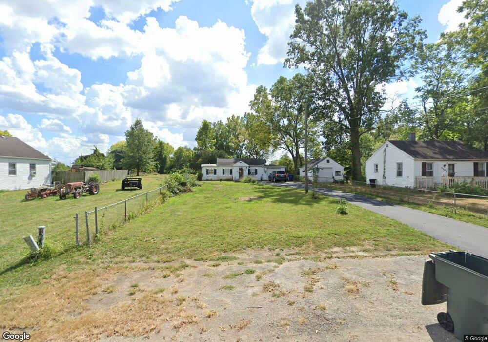
1105 Rumsey Rd Columbus, OH 43207
Obetz-Lockbourne NeighborhoodEstimated Value: $153,985 - $192,000
2
Beds
1
Bath
976
Sq Ft
$177/Sq Ft
Est. Value
About This Home
This home is located at 1105 Rumsey Rd, Columbus, OH 43207 and is currently estimated at $172,746, approximately $176 per square foot. 1105 Rumsey Rd is a home located in Franklin County with nearby schools including Parsons Elementary School, Buckeye Middle School, and Marion-Franklin High School.
Ownership History
Date
Name
Owned For
Owner Type
Purchase Details
Closed on
Jul 6, 1999
Sold by
Mcglone William B and Estate Of William C Mcglone
Bought by
Bush Michael E
Current Estimated Value
Home Financials for this Owner
Home Financials are based on the most recent Mortgage that was taken out on this home.
Original Mortgage
$44,000
Interest Rate
7.28%
Purchase Details
Closed on
Jun 14, 1989
Bought by
Mcglone William C
Create a Home Valuation Report for This Property
The Home Valuation Report is an in-depth analysis detailing your home's value as well as a comparison with similar homes in the area
Home Values in the Area
Average Home Value in this Area
Purchase History
| Date | Buyer | Sale Price | Title Company |
|---|---|---|---|
| Bush Michael E | $35,000 | Chicago Title | |
| Mcglone William C | -- | -- |
Source: Public Records
Mortgage History
| Date | Status | Borrower | Loan Amount |
|---|---|---|---|
| Previous Owner | Bush Michael E | $44,000 |
Source: Public Records
Tax History
| Year | Tax Paid | Tax Assessment Tax Assessment Total Assessment is a certain percentage of the fair market value that is determined by local assessors to be the total taxable value of land and additions on the property. | Land | Improvement |
|---|---|---|---|---|
| 2025 | $2,780 | $56,980 | $18,830 | $38,150 |
| 2024 | $2,780 | $56,980 | $18,830 | $38,150 |
| 2023 | $2,525 | $56,980 | $18,830 | $38,150 |
| 2022 | $2,096 | $26,920 | $10,080 | $16,840 |
| 2021 | $1,399 | $26,920 | $10,080 | $16,840 |
| 2020 | $1,401 | $26,920 | $10,080 | $16,840 |
| 2019 | $1,429 | $23,560 | $8,750 | $14,810 |
| 2018 | $2,267 | $23,560 | $8,750 | $14,810 |
| 2017 | $1,953 | $23,560 | $8,750 | $14,810 |
| 2016 | $3,266 | $18,310 | $4,200 | $14,110 |
| 2015 | $3,108 | $18,310 | $4,200 | $14,110 |
| 2014 | $1,104 | $18,310 | $4,200 | $14,110 |
| 2013 | $1,632 | $19,250 | $4,410 | $14,840 |
Source: Public Records
Map
Nearby Homes
- 1127 Rumsey Rd
- 3531 Lockbourne Rd
- 884 Bruckner Rd
- 860 Basswood Rd
- 1138 Hilock Rd Unit 35
- 0 Williams Rd
- 3302 Hilock Place
- 1118 Maplewood Rd
- 780 Basswood Rd
- 3251 Hilock Ct
- 3608 S Champion Ave
- 691 Colton Rd
- 3551 Groveport Rd
- 1633-1635 E Greenway Ave
- 3032 Baker Hill Rd
- 904 Kyle Ave
- 1433 Venice Dr
- 562 Ashwood Rd
- 435 Carolann Ave
- 1041 Meadow Ln
Your Personal Tour Guide
Ask me questions while you tour the home.