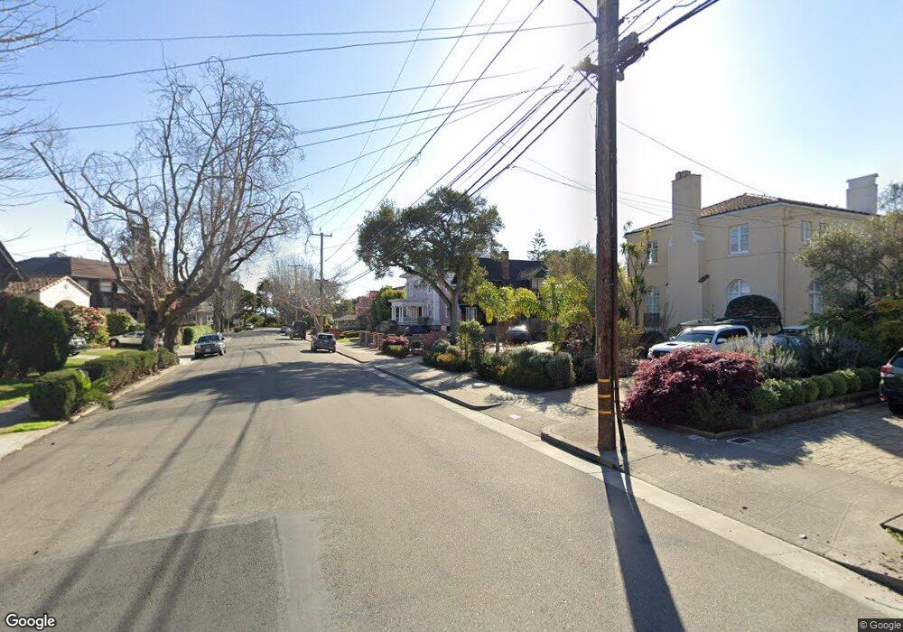
1105 Sherman St Alameda, CA 94501
South Shore NeighborhoodEstimated Value: $1,986,000 - $3,218,000
4
Beds
4
Baths
4,280
Sq Ft
$635/Sq Ft
Est. Value
About This Home
This home is located at 1105 Sherman St, Alameda, CA 94501 and is currently estimated at $2,719,772, approximately $635 per square foot. 1105 Sherman St is a home located in Alameda County with nearby schools including Franklin Elementary, Will C. Wood Middle School, and Encinal Junior/Senior High.
Ownership History
Date
Name
Owned For
Owner Type
Purchase Details
Closed on
Sep 2, 2015
Sold by
Thoms Darlene D and Drake Family Trust
Bought by
Thoms Darlene D and Drake Family Trust
Current Estimated Value
Purchase Details
Closed on
Jan 14, 2008
Sold by
Drake Robert W and Drake Family Trust
Bought by
Drake Robert W and Survivors Trust Trust A
Create a Home Valuation Report for This Property
The Home Valuation Report is an in-depth analysis detailing your home's value as well as a comparison with similar homes in the area
Home Values in the Area
Average Home Value in this Area
Purchase History
| Date | Buyer | Sale Price | Title Company |
|---|---|---|---|
| Thoms Darlene D | -- | None Available | |
| Drake Robert W | -- | None Available |
Source: Public Records
Tax History Compared to Growth
Tax History
| Year | Tax Paid | Tax Assessment Tax Assessment Total Assessment is a certain percentage of the fair market value that is determined by local assessors to be the total taxable value of land and additions on the property. | Land | Improvement |
|---|---|---|---|---|
| 2025 | $6,204 | $177,509 | $141,713 | $35,796 |
| 2024 | $6,204 | $174,029 | $138,935 | $35,094 |
| 2023 | $6,055 | $170,616 | $136,210 | $34,406 |
| 2022 | $5,952 | $167,271 | $133,540 | $33,731 |
| 2021 | $5,865 | $163,992 | $130,922 | $33,070 |
| 2020 | $5,811 | $162,311 | $129,580 | $32,731 |
| 2019 | $4,478 | $159,128 | $127,039 | $32,089 |
| 2018 | $4,390 | $156,009 | $124,549 | $31,460 |
| 2017 | $4,269 | $152,950 | $122,107 | $30,843 |
| 2016 | $4,238 | $149,951 | $119,713 | $30,238 |
| 2015 | $4,209 | $147,698 | $117,914 | $29,784 |
| 2014 | $3,879 | $144,806 | $115,605 | $29,201 |
Source: Public Records
Map
Nearby Homes
- 1203 Benton St
- 610 Grand St
- 901 San Antonio Ave
- 1220 9th St
- 608 Fortress Isle
- 955 Shorepoint Ct Unit 110
- 955 Shorepoint Ct Unit 200
- 1301 9th St
- 1059 Santa Clara Ave
- 404 Coral Reef Rd
- 965 Shorepoint Ct
- 1812 San Antonio Ave
- 950 Shorepoint Ct Unit 100
- 1512 Mozart St
- 1523 Verdi St
- 1001 Shoreline Dr Unit 301
- 1701 Central Ave Unit P
- 933 Shoreline Dr Unit 203
- 1606 Morton St
- 1572 Lincoln Ave
