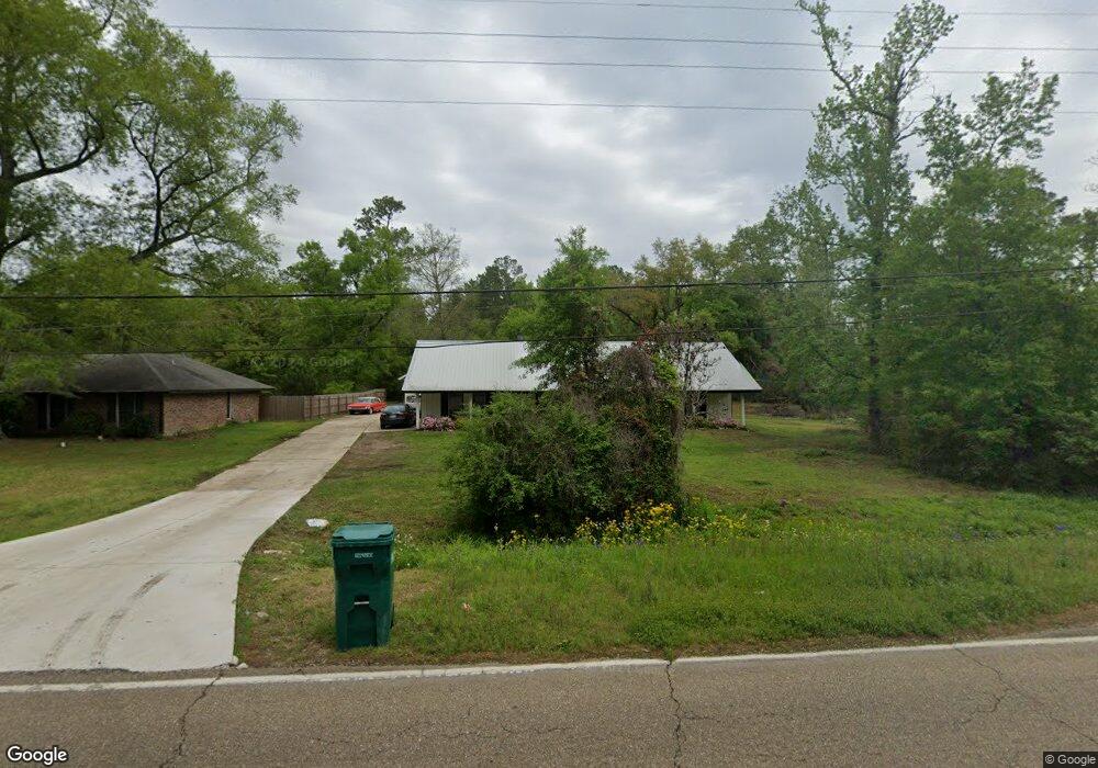
11059 Highway 1064 Tickfaw, LA 70466
Estimated Value: $166,000 - $266,075
3
Beds
2
Baths
1,310
Sq Ft
$159/Sq Ft
Est. Value
About This Home
This home is located at 11059 Highway 1064, Tickfaw, LA 70466 and is currently estimated at $208,269, approximately $158 per square foot. 11059 Highway 1064 is a home located in Tangipahoa Parish with nearby schools including Midway Elementary School, Natalbany Middle School, and Hammond High Magnet School.
Ownership History
Date
Name
Owned For
Owner Type
Purchase Details
Closed on
Aug 15, 2022
Sold by
Darrell Wall
Bought by
Pride Roofing Llc
Current Estimated Value
Purchase Details
Closed on
Aug 23, 2006
Sold by
Achord Berton W
Bought by
Wall Darrell
Home Financials for this Owner
Home Financials are based on the most recent Mortgage that was taken out on this home.
Original Mortgage
$112,500
Interest Rate
6.75%
Mortgage Type
Future Advance Clause Open End Mortgage
Create a Home Valuation Report for This Property
The Home Valuation Report is an in-depth analysis detailing your home's value as well as a comparison with similar homes in the area
Home Values in the Area
Average Home Value in this Area
Purchase History
| Date | Buyer | Sale Price | Title Company |
|---|---|---|---|
| Pride Roofing Llc | $140,000 | Title Management Group | |
| Wall Darrell | $150,000 | None Available |
Source: Public Records
Mortgage History
| Date | Status | Borrower | Loan Amount |
|---|---|---|---|
| Previous Owner | Wall Darrell | $112,500 |
Source: Public Records
Tax History Compared to Growth
Tax History
| Year | Tax Paid | Tax Assessment Tax Assessment Total Assessment is a certain percentage of the fair market value that is determined by local assessors to be the total taxable value of land and additions on the property. | Land | Improvement |
|---|---|---|---|---|
| 2024 | $1,222 | $14,154 | $2,159 | $11,995 |
| 2023 | $1,219 | $13,994 | $1,999 | $11,995 |
| 2022 | $1,219 | $13,994 | $1,999 | $11,995 |
| 2021 | $571 | $13,993 | $1,999 | $11,994 |
| 2020 | $1,219 | $13,993 | $1,999 | $11,994 |
| 2019 | $1,215 | $13,993 | $1,999 | $11,994 |
| 2018 | $1,219 | $13,993 | $1,999 | $11,994 |
| 2017 | $1,219 | $13,993 | $1,999 | $11,994 |
| 2016 | $1,219 | $13,993 | $1,999 | $11,994 |
| 2015 | $636 | $14,782 | $1,999 | $12,783 |
| 2014 | $591 | $14,782 | $1,999 | $12,783 |
Source: Public Records
Map
Nearby Homes
- 11169 Griffin Ln
- 10204 Crystal Ln
- 10215 Crystal Ln
- 10205 Pearl Ln
- 11081 Martin Ln
- 10172 Pearl Ln
- 10199 Crystal Ln
- Eastwood Plan at Rivers Edge
- Birch Plan at Rivers Edge
- 10179 Pearl Ln
- 10188 Pearl Ln
- Hickory Plan at Rivers Edge
- Aspen. Plan at Rivers Edge
- 10171 Pearl Ln
- Evergreen Plan at Rivers Edge
- 10188 Crystal Ln
- Cameron Plan at Rivers Edge
- 48351 Woodhaven Rd
- 30890 Highway 1064
- 11049 Highway 1064
- 11033 Highway 1064
- 11013 Highway 1064
- 11013 Louisiana 1064
- 11105 Highway 1064
- 48030 Woodhaven Rd
- 48038 Woodhaven Rd
- 48048 Woodhaven Rd
- 48025 McDonald Ln
- 47378 Shady Acres Ln
- 10458 Highway 1064
- 47358 Durbin Rd
- 48076 Woodhaven Rd
- 47352 Shady Acres Ln
- 10449 Highway 1064
- 47310 Shady Acres Rd
- 47352 Shady Acres Rd
- 0 Shady Acres Rd
- 0 Shady Acres Rd