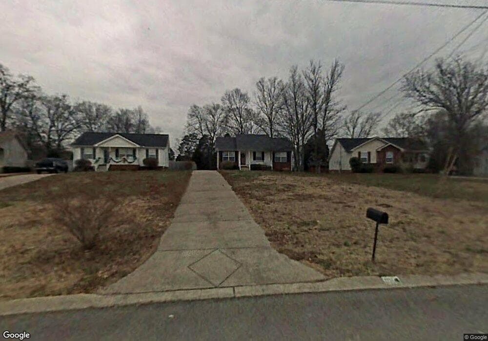
1105C Coles Ferry Pike Lebanon, TN 37087
Estimated Value: $438,000 - $608,777
--
Bed
3
Baths
2,063
Sq Ft
$248/Sq Ft
Est. Value
About This Home
This home is located at 1105C Coles Ferry Pike, Lebanon, TN 37087 and is currently estimated at $512,259, approximately $248 per square foot. 1105C Coles Ferry Pike is a home located in Wilson County with nearby schools including Walter J. Baird Middle School, Lebanon High School, and Cedars Preparatory Academy.
Ownership History
Date
Name
Owned For
Owner Type
Purchase Details
Closed on
Sep 18, 1992
Bought by
Schmidt Lawrence H
Current Estimated Value
Purchase Details
Closed on
Apr 12, 1991
Bought by
Garner Karen W
Purchase Details
Closed on
Mar 8, 1990
Bought by
Garner Karen W
Purchase Details
Closed on
Dec 6, 1988
Bought by
Garner Karen W
Purchase Details
Closed on
Sep 3, 1986
Bought by
Cravens Spyke T and Cravens Wanda A
Create a Home Valuation Report for This Property
The Home Valuation Report is an in-depth analysis detailing your home's value as well as a comparison with similar homes in the area
Home Values in the Area
Average Home Value in this Area
Purchase History
| Date | Buyer | Sale Price | Title Company |
|---|---|---|---|
| Schmidt Lawrence H | $165,000 | -- | |
| Garner Karen W | -- | -- | |
| Garner Karen W | -- | -- | |
| Garner Karen W | $35,000 | -- | |
| Cravens Spyke T | $20,000 | -- |
Source: Public Records
Tax History Compared to Growth
Tax History
| Year | Tax Paid | Tax Assessment Tax Assessment Total Assessment is a certain percentage of the fair market value that is determined by local assessors to be the total taxable value of land and additions on the property. | Land | Improvement |
|---|---|---|---|---|
| 2024 | $1,551 | $70,300 | $22,900 | $47,400 |
| 2022 | $2,033 | $70,300 | $22,900 | $47,400 |
| 2021 | $2,033 | $99,775 | $52,375 | $47,400 |
| 2020 | $2,221 | $70,300 | $22,900 | $47,400 |
| 2019 | $507 | $59,075 | $13,900 | $45,175 |
| 2018 | $2,073 | $59,075 | $13,900 | $45,175 |
| 2017 | $2,073 | $59,075 | $13,900 | $45,175 |
| 2016 | $2,073 | $59,075 | $13,900 | $45,175 |
| 2015 | $2,143 | $59,075 | $13,900 | $45,175 |
| 2014 | $1,985 | $54,714 | $0 | $0 |
Source: Public Records
Map
Nearby Homes
- 916 Highfield Way
- 914 Highfield Way
- 1000 Keyes Place
- 1002 Keyes Place
- 912 Highfield Way
- 1004 Keyes Place
- 1006 Keyes Place
- 910 Highfield Way
- 908 Highfield Way
- 1009 Keyes Place
- 823 Quinn Dr
- 447 Augustine Dr
- 273 Christine Dr
- 821 Manner Ln
- MEDFORD Plan at Campbell Place
- OWENS Plan at Campbell Place
- FRANKLIN Plan at Campbell Place
- 133 Cecil Rd
- 204 Christine Dr
- 227 Hazel Ln
- 109 Bent Tree Ct
- 107 Bent Tree Ct
- 108 Bent Tree Ct
- 105 Bent Tree Ct
- 103 Bent Tree Ct
- 1010 Heydel Cir
- 104 Bent Tree Ct
- 1012 Heydel Cir
- 1105B Coles Ferry Pike
- 1105A Coles Ferry Pike
- 102 Bent Tree Ct
- 1014 Heydel Cir
- 1004 Heydel Cir
- 1181 Coles Ferry Pike
- 1135 Coles Ferry Pike
- 1016 Heydel Cir
- 1002 Heydel Cir
- 1000 Heydel Cir
- 1011 Heydel Cir
- 1013 Heydel Cir