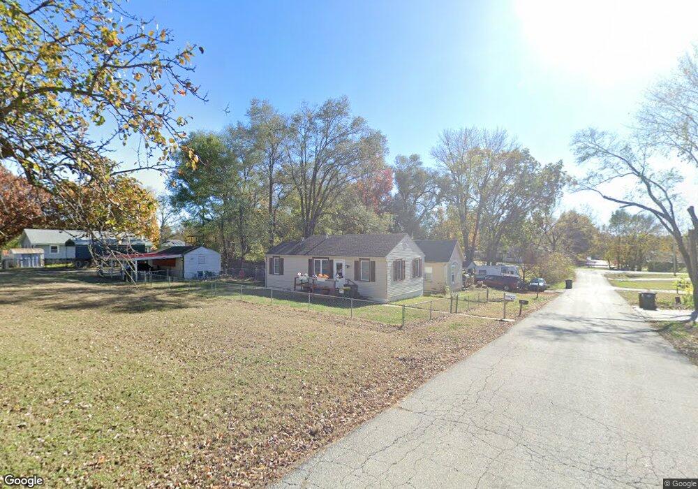
1106 N 3rd St Lansing, KS 66043
Estimated Value: $93,938 - $192,000
2
Beds
1
Bath
711
Sq Ft
$190/Sq Ft
Est. Value
About This Home
This home is located at 1106 N 3rd St, Lansing, KS 66043 and is currently estimated at $134,735, approximately $189 per square foot. 1106 N 3rd St is a home located in Leavenworth County with nearby schools including Lansing Elementary School, Lansing Middle 6-8, and Lansing High 9-12.
Ownership History
Date
Name
Owned For
Owner Type
Purchase Details
Closed on
Jan 22, 2014
Sold by
Citizens S & L Assn Fsb
Bought by
Connel Russell L and Connel Audeana M
Current Estimated Value
Home Financials for this Owner
Home Financials are based on the most recent Mortgage that was taken out on this home.
Original Mortgage
$20,000
Interest Rate
4.47%
Mortgage Type
New Conventional
Create a Home Valuation Report for This Property
The Home Valuation Report is an in-depth analysis detailing your home's value as well as a comparison with similar homes in the area
Home Values in the Area
Average Home Value in this Area
Purchase History
| Date | Buyer | Sale Price | Title Company |
|---|---|---|---|
| Connel Russell L | $25,100 | Mccaffree-Short Title Co Inc |
Source: Public Records
Mortgage History
| Date | Status | Borrower | Loan Amount |
|---|---|---|---|
| Closed | Connel Russell L | $20,000 |
Source: Public Records
Tax History Compared to Growth
Tax History
| Year | Tax Paid | Tax Assessment Tax Assessment Total Assessment is a certain percentage of the fair market value that is determined by local assessors to be the total taxable value of land and additions on the property. | Land | Improvement |
|---|---|---|---|---|
| 2025 | $996 | $8,943 | $1,682 | $7,261 |
| 2024 | $969 | $8,358 | $1,682 | $6,676 |
| 2023 | $969 | $8,036 | $1,579 | $6,457 |
| 2022 | $1,119 | $8,636 | $1,365 | $7,271 |
| 2021 | $775 | $5,643 | $1,365 | $4,278 |
| 2020 | $526 | $4,040 | $1,365 | $2,675 |
| 2019 | $527 | $3,867 | $1,365 | $2,502 |
| 2018 | $505 | $3,719 | $1,365 | $2,354 |
| 2017 | $367 | $2,786 | $1,365 | $1,421 |
| 2016 | $364 | $2,759 | $1,365 | $1,394 |
| 2015 | $362 | $2,759 | $1,365 | $1,394 |
| 2014 | $354 | $2,759 | $1,365 | $1,394 |
Source: Public Records
Map
Nearby Homes
- 1102 N 4th St
- 1100 N 4th St
- 1102 N Main St
- 4 Eisenhower Rd
- 603 E Beth St
- 268 Holiday Dr
- 129 Brookwood St
- 415 Fairlane St
- 129 Crestview Ct
- 20958 Ida St
- 542 Creekside Ct
- 310 E Kansas Ave
- 124 S Main St
- 202 S Main St
- 218 E Kay St
- 306 E Kay St
- 728 Eisenhower Rd
- 4036 Shrine Park Rd
- 749 Highland Dr
- 752 Highland Dr